• Sport

The Lac des Vaches and Col de la Vanoise
Savoie Mont Blanc's choice

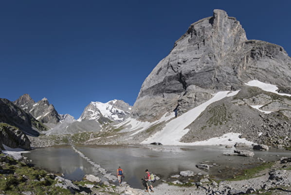
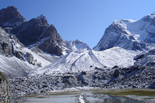
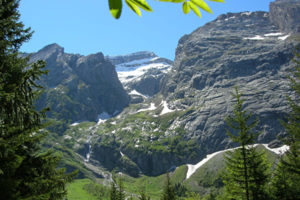
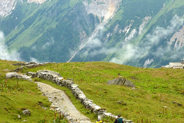
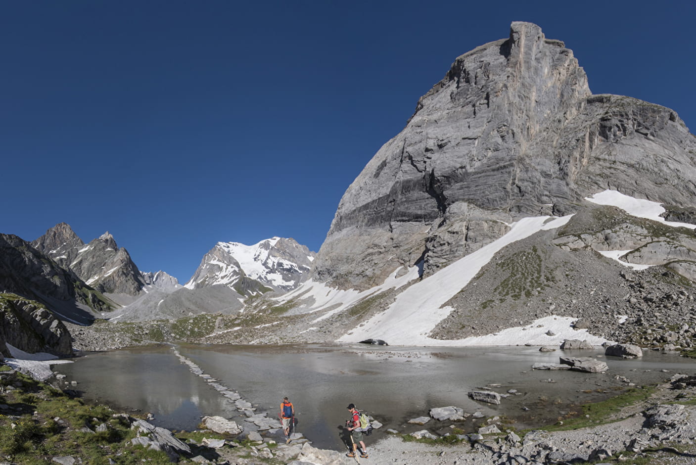
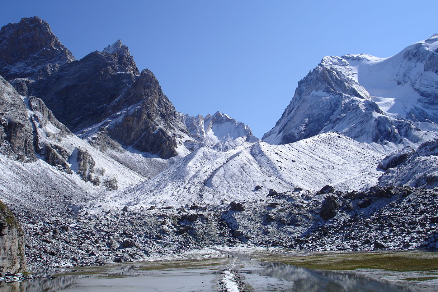
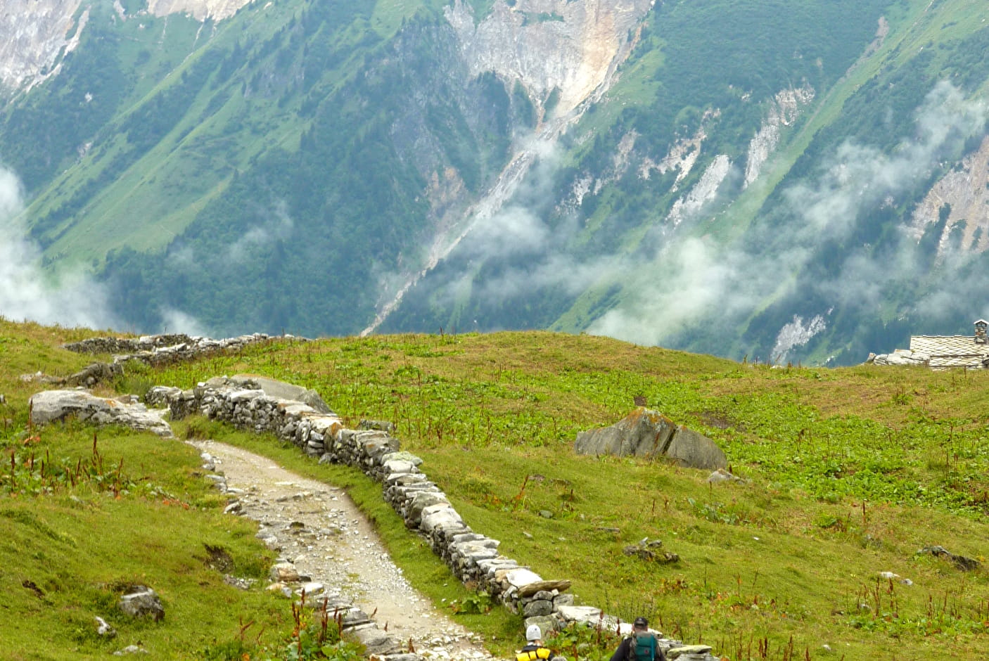
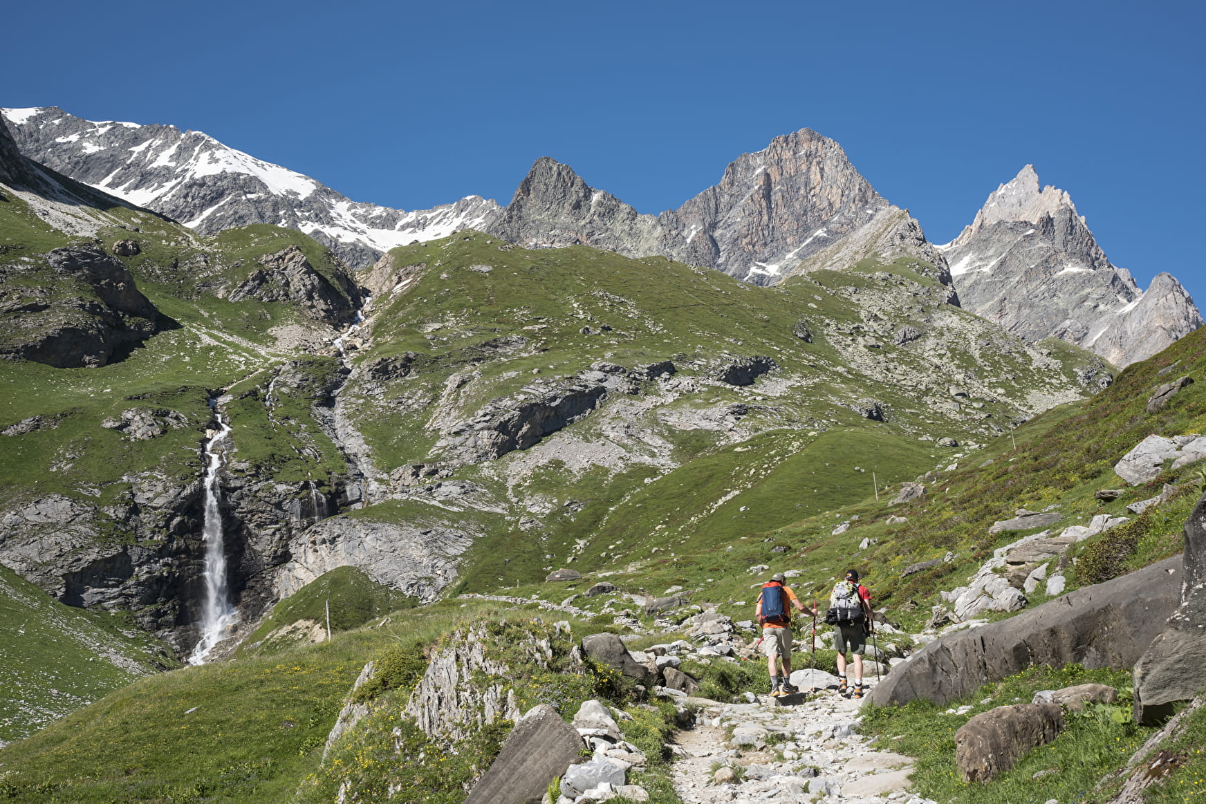
Walk the trail of mule drivers, following the low dry stone walls as far as the wonderful Lac des Vaches. After which the itinerary continues to the Col de la Vanoise, at the foot of Savoie's highest peak, the Grande Casse (3855m).
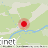
Sport The Lac des Vaches and Col de la Vanoise Pralognan-la-Vanoise

About
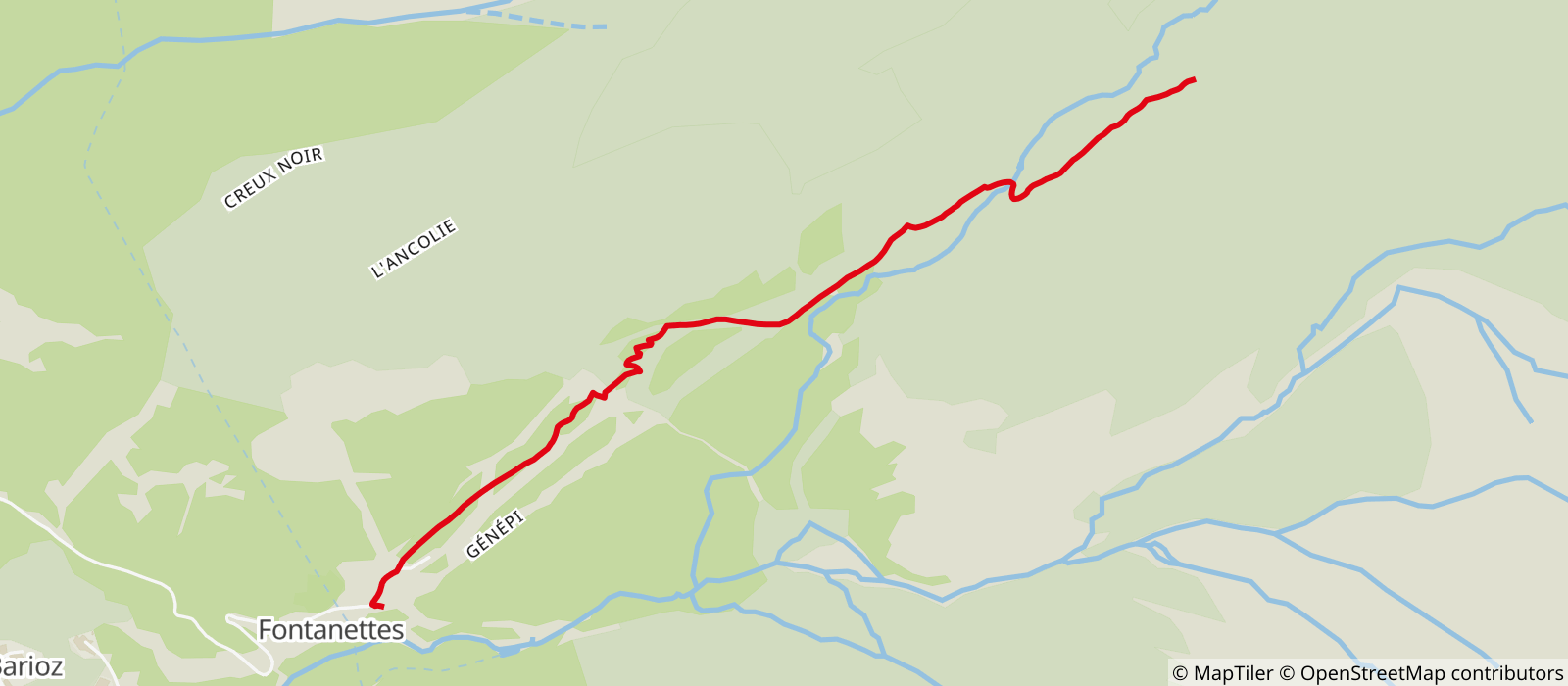
Departing from Pralognan-la-Vanoise (73710)
Average length : 04h45
Total elevation gain : 877m
Distance : 13km
Signed walking trail
Animals not allowed

Way and back
Total elevation gain : 877m
Altitude max : 2517m
    1 4

    Reception

    Animals not allowed
    Not adapted to strollers

    Period of practice

    From 15/05 to 15/10.

    Access

    Parking des Fontanettes 73710 Pralognan-la-Vanoise
    Departing from : Pralognan-la-Vanoise (73710)
    Latitude : 45.381738 - Longitude : 6.735842
    Information update on 23/04/2024 by Agence alpine des territoires