

Ready to cross the 1,000-metre threshold in elevation gain? Have you ever heard Scots pine cones popping under the sun's rays? It's a sound you're bound to hear on this long, sustained ascent through the fragrant pine forest towards the Mont at 1,770 metres of altitude. You may also catch a glimpse of snow heather, a rare and protected plant, dressed in beautiful shades of pink. It's such an early bloomer that its petals somehow manage to burst through the last snows. The open clearing now gives way to another ascent – the hike's last challenging climb. Bursting with pride, you enter Vanoise National Park. The slope grows gentler as you reach Croix de la Loza. Take a seat at this observation post. Before you rise the peaks of Bramanais and Mont Cenis, sometimes wrapped in clouds blown by the Lombarde wind. Take care as you descend into the Bonne Nuit valley. From its impressive altitude of 3,695 metres, Dent Parrachée and its sharp ridges command respect. Imagine the spectacular avalanches that sometimes cascade down Sollières in winter! As you go down, make sure you take plenty of refreshing breaks and tie up your laces properly.
- Sport
La Loza
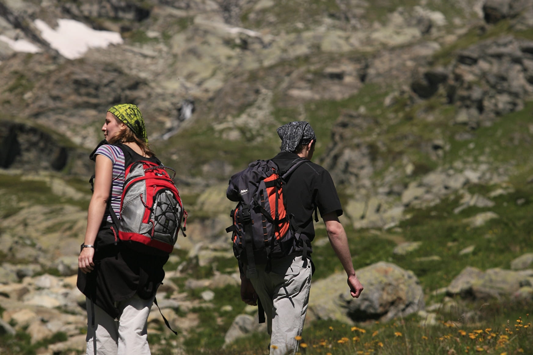
This hike is full of contrasts, skilfully leading you from a wooded atmosphere to high-altitude alpine meadows and pastures. The south-facing slope is perfect for off-season hikes that demand a certain amount of sunshine.
Sport La Loza Val-Cenis
About
Signs
Mixed signposting (PR, PNV and GR)
Map references
Map and booklet "Walks and Hikes Haute Maurienne Vanoise" (sold for € 10 at the Tourist Office)
Topoguides references
Black route n°98
1 1

To guide you in the field, consult the "step-by-step" directional diagram provided in pdf.
Prices
Free access.
Reception
Period of practice
From 01/06 to 15/10.
Subject to favorable snow and weather conditions.
Equipments
- Parking
Contacts
Access
Departure from the village along the RD83.
By bus: Line S52 - Mairie stop, Line S53 - Les Favières stop.
By car: park near the Val Cenis Sollières church/mayor's office.
