- Sport
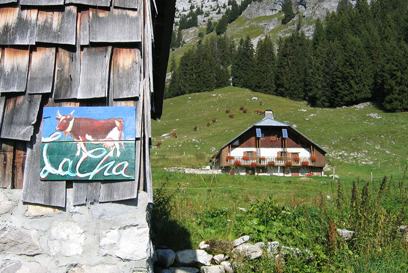
La Forclaz and la Cha alpine pastures - Hike
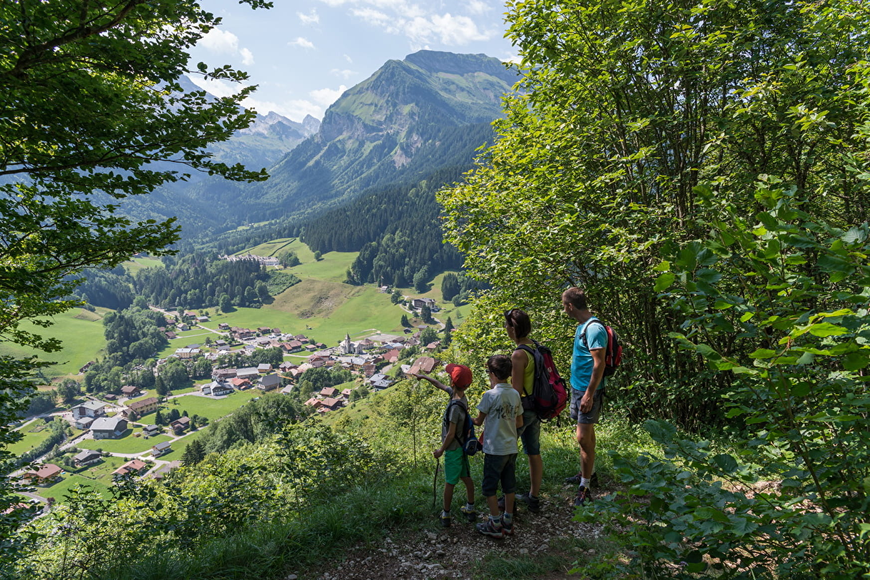
This easy hike can be considered from 8-10 years old. You will enjoy a beautiful view over the rooftops of the monastery and the surrounding peaks.
About

Signs
The path is not marked out by the name of this hike. It is important to follow the hiking signs mentionned in the description of the hike.
Map references
TOP 25 IGN 3430 ET
Further informations
Ground, Grit


This hike is located within the Natural Zone of Ecological, Faunistic and Floristic Interest (ZNIEFF). Floristically, 500 species have been inventoried, many of which are rare and dependent on the limestone subsoil of the massif.
Respect the flora and fauna already weakened by winter. Keep your dogs on a leash. Bring back your rubbish.
Form the church to la Forclaz chalets : 1hr 10mins
Cross over the bridge and climb up on the left onto the road. At the first turn, take the path next to the house called "le Perce Neige". It crossed over the fields and the road to get to the "Bellegarde" after the oratory. Follow the signs through the housing until you reach the Bellegarde farm.
At Planzury, turn right onto the road for La Cha via La Forclaz (2hrs 10mins)
From La Forclaz chalets to the Malatrait refuge : 1hr 50mins
From la Forclaz, continue on the route that climbs steadily to the Croix Doubles ; the highest point of the hike (1.630 metres) before going back down to La Cha chalets and the Malatrait refuge.
From the Malatrait refuge to the church : 45 mins
Be sure to follow the signs
Before Malatrait, take the left turn for Le Reposoir via Planzury (45mins). Be careful : 50 meters after the sign, you will have to cut across the fields. Follow the path to the left on the edge of the forest under the telephone cables. You will then pass between two shelters, crossing over the forest to take you to a place called Planzury. From there, pick the trail back up to go back to the starting point.
Be respectful of the environment : This hike is located in a ZNIEFF(Natural Zone of Interest for Ecology, Flora and Fauna). 500 species of plants and flowers have been counted and many of them are rare and dependant of the chalky soil.
Prices
Free access. Guidebook on sale at the Tourist Office.
Reception
Keep your dog on a leash, he can scare off herds and wild animals.
Period of practice
Closed temporarily.
- Pets welcome
- Public WC
Contacts
Access
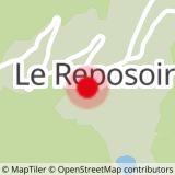
From Cluses, take the D4, direction Reposoir. Park in front of the church in the center of the village.