
From the P3 car park, continue on the forest road towards the hamlet of Echaillon and continue to the listed hamlet of Le Monal. Cross the hamlet of Le Monal and continue straight on. Shortly after entering the forest, take a path on the left which winds upwards. At the first crossroads after leaving the forest, turn right, join and turn left onto the pastoral road that climbs up from Chenal and follow it towards Le Clou. Make a detour to the left to admire the stele that has been erected on the village of Le Clou.
Same route for the return.
Please note that the Echaillon car park is not accessible by car. A free shuttle service runs from the Maisonnettes car park in the Sainte-Foy resort during the summer season.
- Sport
Hiking trail : the Vallon du Clou
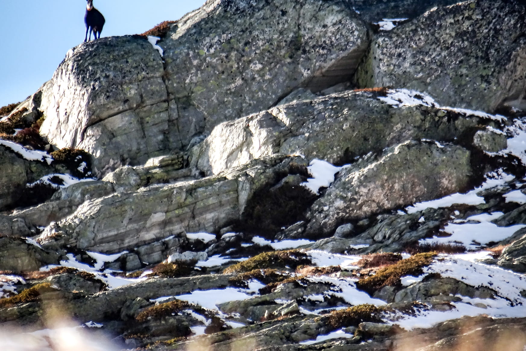
The Vallon du Clou is a protected site, which culminates at 3,567 m altitude at the Pointe des Chamois.
A sportive hike to discover the Lac Noir perched at 2618 m and the views of the Balmes glacier.
Map available at the Tourist Office.
Sport Hiking trail : the Vallon du Clou Sainte-Foy-Tarentaise
About

Signs
Yellow markings
Prices
Free access.
Reception
Period of practice
From 01/05 to 30/11.
Subject to favorable snow and weather conditions.