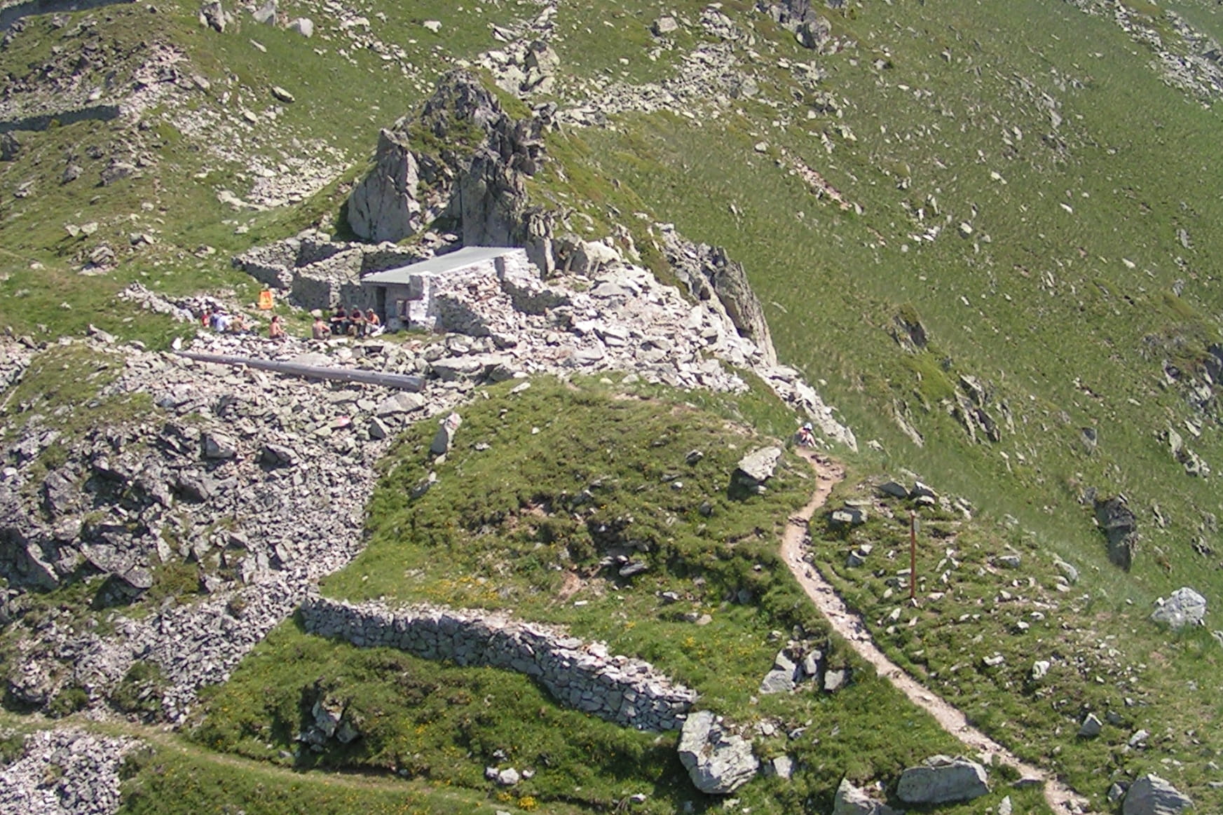
Starting point from the «Pérelles». Take the path going up on the left of the technical services building. Go by the water treatment plant and then take the path going up straight ahead. Bypass the «Crête Maxet» going bellow it. Arrived at the intersection of the «Mère de l’eau», let the track on your left to take the path going up on the right. At the intersection of the Crête Maxet, take the track arriving from the Lauzière chairlift. Turn left on it, towards the Col Montjoie.
- Sport
"Col Montjoie" from "Les Pugnes" (8)
[Saint François Longchamp area]
Red level (medium) itinerary. 3,8km and around 2h long.
Sport "Col Montjoie" from "Les Pugnes" (8) Saint François Longchamp
About

Topoguides references
Hiking guide, summer 2016, edited by the Tourist Office of Saint-François Longchamp.
Further informations
Ground
Prices
Free of charge.
Reception
Dogs are allowed. They must be kept on leash.
Period of practice
From 01/07 to 31/08.
Services
- Pets welcome