From the Bochon car park (west exit of the village), return to the village via the rue des dentellières and take the path that climbs to the left towards the Combe where you meet the D123. Follow the road for 100 m to the right until you reach the Noiray post. Go up on the left towards Champcolomb then follow the direction of Cudray on the left. Towards the "Grand Nant" stream, you will come across the small Masson hydroelectric power station, which provided electricity to some of the villagers before EDF took over. The return to the Bochon is via the lower meadows which take us close to the farm of "la tour", a property which was part of the heritage of the "Cadinettes" family (a famous family in Villard in the previous century).
- Sport
"Charvin" trail
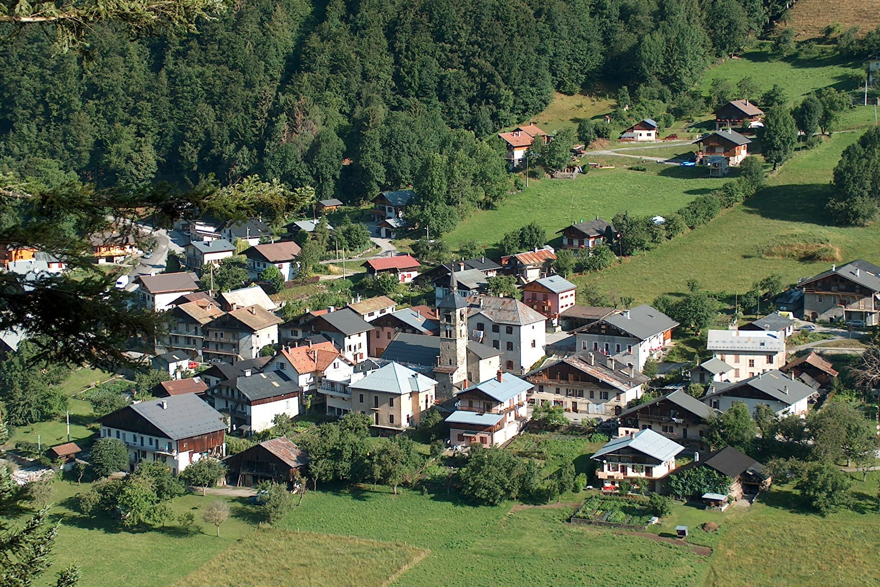
A pleasant and easy walk around the charming village of Villard-sur-Doron, which was once home to families who made their fortune in the jewellery trade.
About

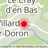
Map references
IGN map of hiking in Beaufortain on sale at the Tourist Office
Topoguides references
"Balades en Beaufortain" on sale at the Tourist Office
Prices
Free access.
Reception
Period of practice
All year round.
Services
- Pets welcome