This hike is full of treasures, from the beauty of the scenery to the history of the plateau and its mountain pastures.
The hike begins gently on a wide forest track leading up to the last chalet, Chalet de la Motte.
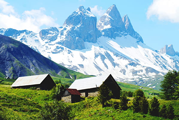
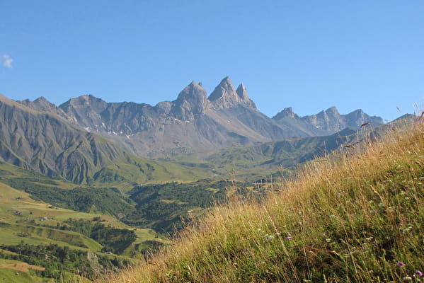
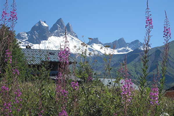
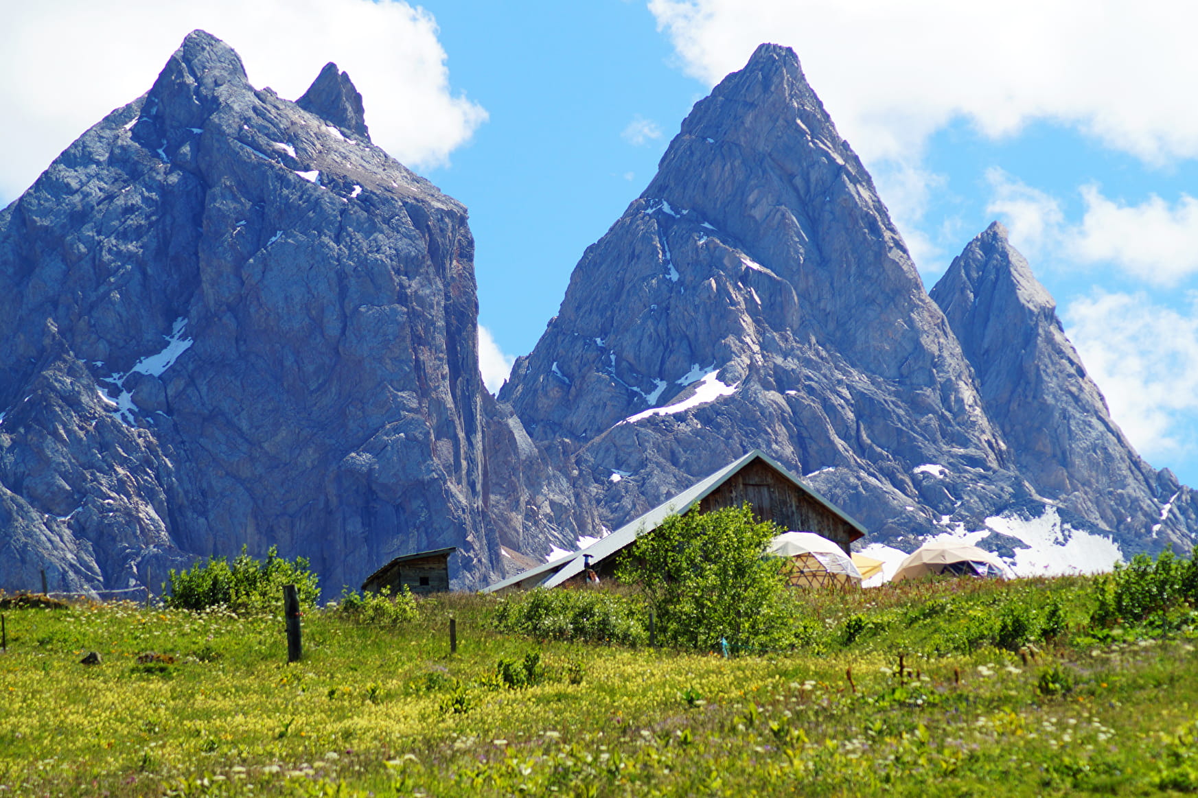
The Aiguilles d'Arves consist of three needles, each with its own name.
Aiguille Centrale (3513 m) was first climbed in 1839 by the Magnin brothers. The Aiguille Méridionale (3514 m) to the south, climbed by Coolidge in 1878, is the highest point. The Aiguille Septentrionale, linked to the Aiguille Centrale by the Aiguilles d'Arves pass at 3163 m, is also known as the Tête de Chat.
When you reach the Basse du Gerbier, you'll be able to see all three Aiguilles at their best.
Then, if you take the free route, you'll reach the Chalet de la Motte by a different path.
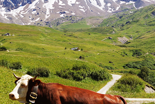
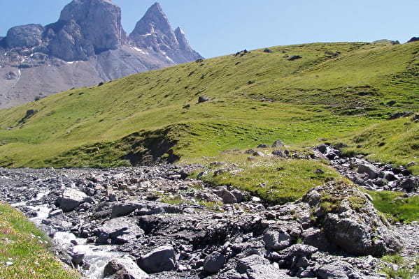
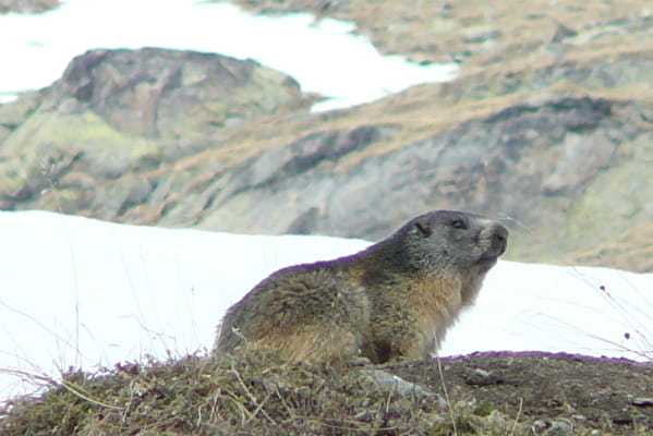
This little path passes beneath the Aiguille de l'épaisseur, where only a few traces of the glacier that once resided there remain. Now all we see are small streams and marmot burrows.
Once we've reached La Motte, we return by the same route, but with a different view. You can see the whole valley, with all the little mountain chalets in the foreground.
- Sport
At the foot of the Aiguilles d'Arves via Basse du Gerbier
A hike in the heart of the alpine pastures, taking you as close as possible to the Aiguilles d'Arves, via the Basse du Gerbier.
You'll follow in the footsteps of the various farmers of the time (tracks, chalets), taking care to bear witness.
About
Topoguides references
Topoguide Arvan-Villards available for €5 in our tourist offices during opening hours.
Further informations
Rock, Ground
Start - Relais TV parking lot in the hamlet of Le Chalmieu
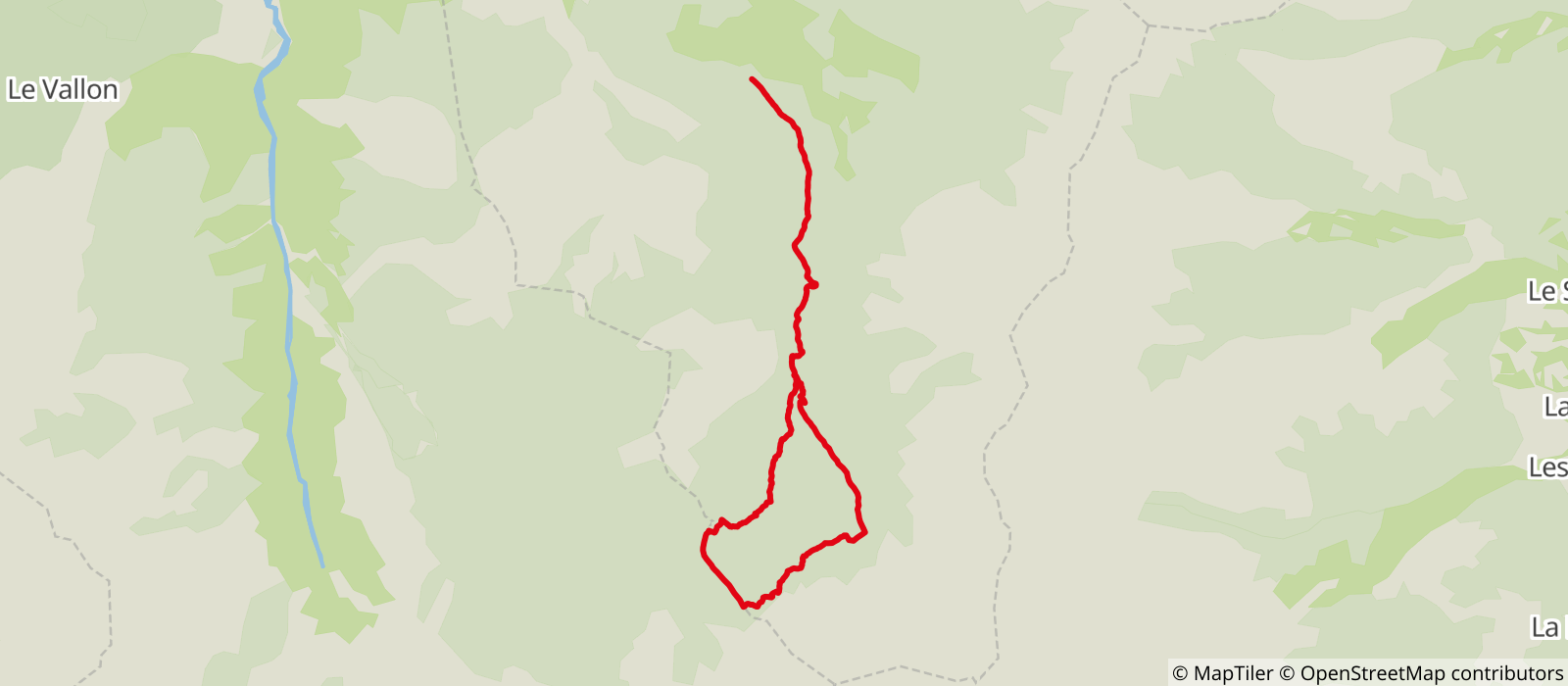
1/From the Relais du Chalmieu parking lot, follow signs for Basse du Gerbier or Le Lissolet.
2/Continue towards Pré Valloire along the path, then follow Les Manches.
3/After the footbridge, turn right at the next intersection to leave the track and take the path towards Basse du Gerbier.
4/At Basse du Gerbier, turn left towards Sous la Tête de Chat then Plan Pradin.
5/Take the downhill path to La Motte.
6/Take the same route back to La Motte.
Prices
Free access.
Reception
Dogs must be kept on a leash due to the possible presence of herds.
Period of practice
From 22/05 to 15/10.
Subject to favorable snow and weather conditions.
- Pets welcome
- Picnic area
- Public WC
- Car park
- Orientation board
- Free car park
Contacts
Access
Start from the TV relay parking lot above the hamlet of Chalmieu (go to the end of the tarmac road).
- Not accessible in a wheelchair


