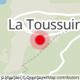
Departure: Tourist Office - la Toussuire
Distance and duration: 2.1 km - 1h
Difference in height: 46 m
Take the road in front of the tourist office going to the parking and tennis courts.
From there, follow "Au Fil de l'Eau" yellow signs.
The path reaches, crosses and then goes along the stream.
The return to the tourist office takes place behind the Panoramic Residence and the Chalet des Cîmes residence.
- Sport
"Au Fil de l'Eau" walking path
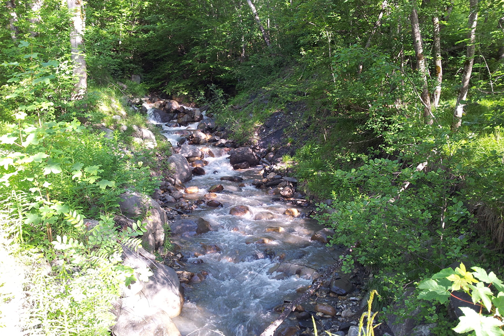
In the heart of La Toussuire resort, walk along the stream and through a pleasant litle wood of larch. Green level hike.
Sport "Au Fil de l'Eau" walking path La Toussuire
About

Signs
Yelloow signs with direction and walking time
Topoguides references
Buy our 30 walks guide at La Toussuire Tourist Office (€5). Area: Villarembert, Le Corbier, Fontcouverte, La Toussuire, Saint Pancrace, Les Bottières, Jarrier
Further informations
Rock, Stone, Ground, Hard coating (tar, cement, flooring)
1 1

Prices
Free access.
Reception
On your way, you may see cows or sheeps pens. Please, be careful of guarding dogs
Services
- Pets welcome
- Car park
Contacts
Access
- Not accessible in a wheelchair
