Start close to the Lac de Saint Jacques and follow the les lacs footpath.
It is possible to take the Aiguille Rouge cable car by taking footpaths 16 then 21.Walk with ascent/descent, mixed terrain sometimes uneven. For experienced walkers.
Experienced trail walker.
- Sport
Arc 1950/2000 towards the Lake Trail
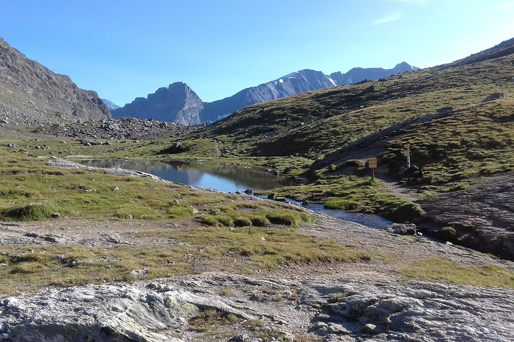
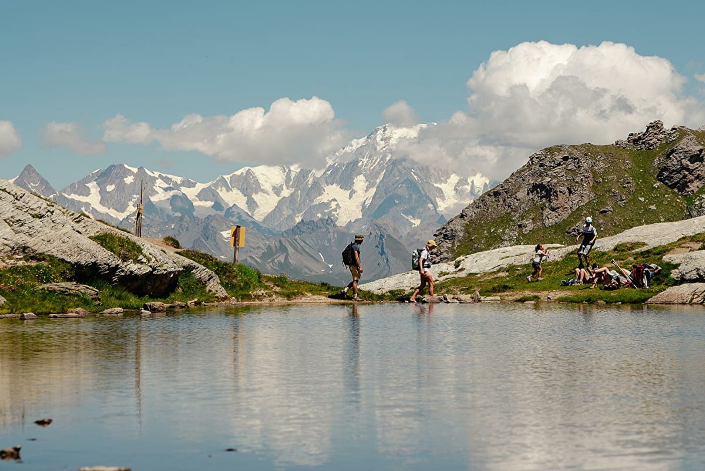
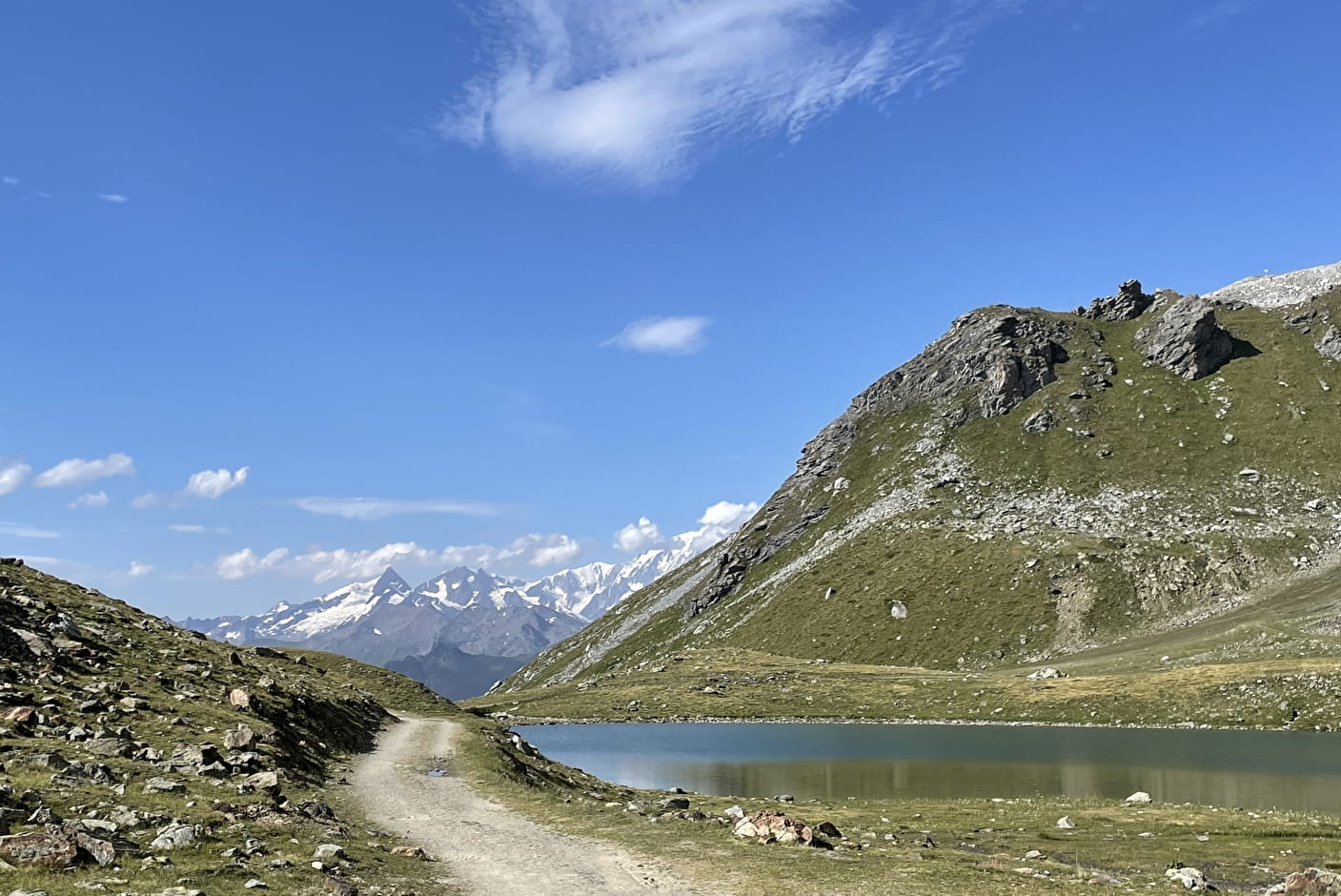
Peace and cool of the mountain lakes.
Sport Arc 1950/2000 towards the Lake Trail Les Arcs
About

Signs
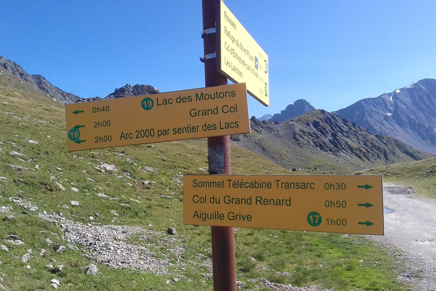
The trail is indicated by yellow signs with a green inscription. You can also find yellow rectangles painted on stones or ponds.
Map references
TOP 25 IGN 3532 ET
Topoguides references
Path n°15 on our map
1 8


From Place Olympique, take the path towards the Chalet de l'Arc and the small Chapelle St Jacques. Take the marked path “Sentier des Lacs” which passes under the St Jacques chairlift and provides access to the lake of the same name. Then go back up under the Varet gondola and continue along the mountainside towards a small flat area overlooking Lac de l'Homme. Continue straight ahead. The path on the right goes down to Lac Marlou. Then take the path on the left which leads to Lac des Moutons.
Return by the same route.
For a day trip, you can go to the Mont Pourri refuge.
Prices
Free access.
Reception
Period of practice
From 01/06 to 01/11.
Subject to favorable snow and weather conditions.
Services
- Pets welcome
Contacts
Access
Depart from Arc 2000, Place Olympique near the Cabriolet lift.