- Sport
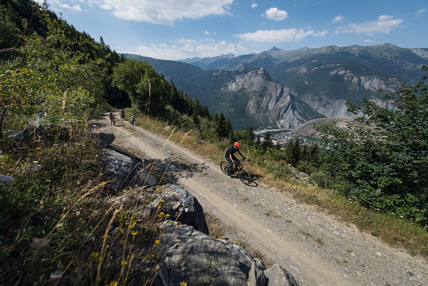
Tournée des chapelles et hameaux de l'adret en VTTAE
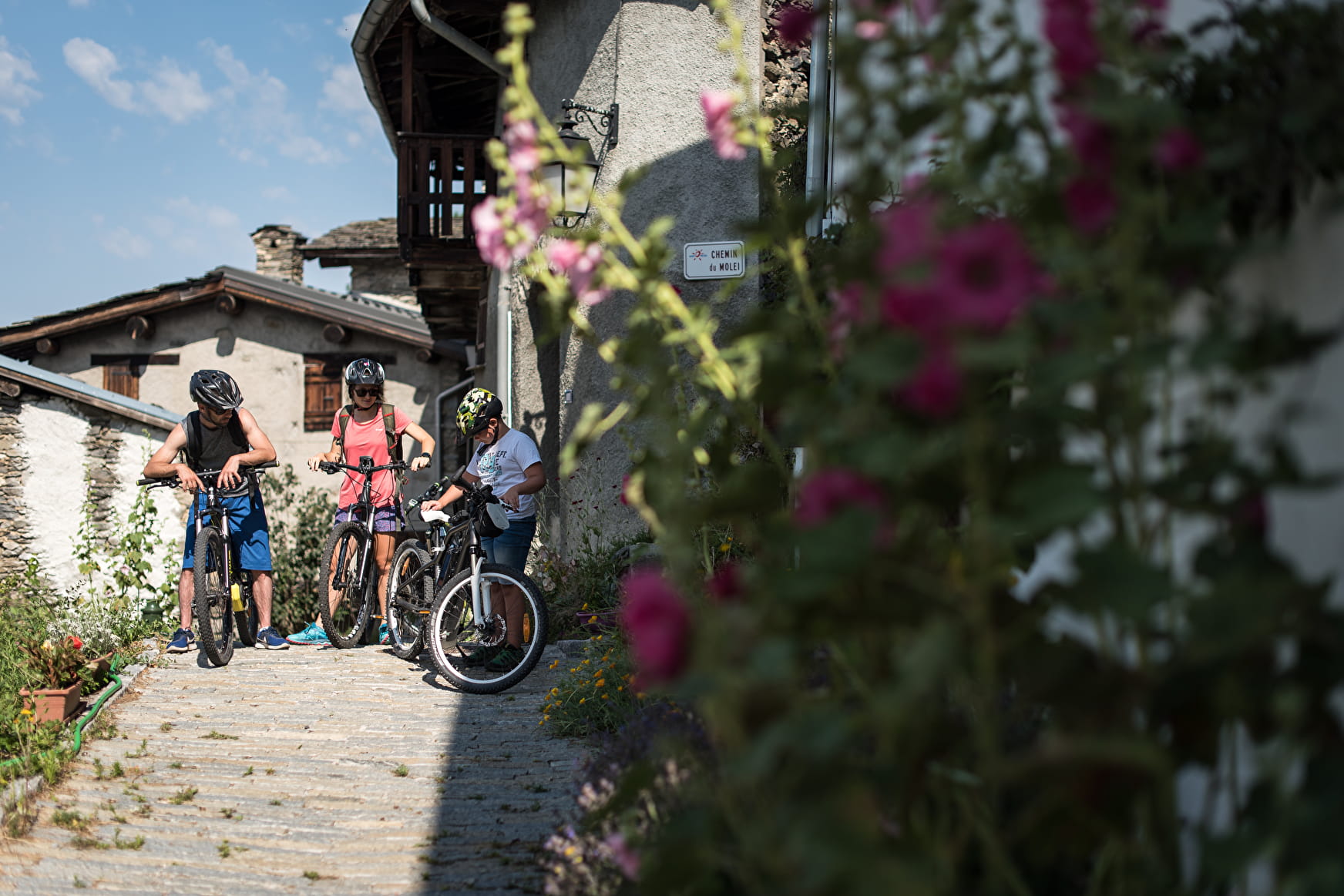
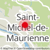
Sport Tournée des chapelles et hameaux de l'adret en VTTAE Saint-Michel-de-Maurienne

About

Further informations
Rock, Stone, Ground
1 2


Prices
Free access.
Reception
Period of practice
All year round.
Subject to favorable weather.
Services
- Pets welcome
- Car park
- Parking
- Charging station for 2 electric wheels
- Free car park