Track n°1 - GREEN
21,5km D+/- : 110m
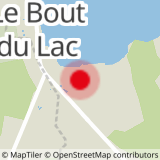
From the Doussard Beach carpark, cross D1508 road towards the sports complex; pass between the tennis courts to the bike path that you will take to Lathuile (les Marais), and the intersection with route du Bout du Lac. Turn left, and then head into the marshy area on the right-hand side. The trail rides along Ruisseau de la Bornette stream. When you exit the marsh, take another left, cross route du Bout du Lac and then turn right onto a narrow paved road that ascends towards Marceau and that rides along Ruisseau de la Bornette stream. Visit the communal oven and fountain. When you leave the hamlet, turn right onto the 1st drivable road, and then take the GR96 trail to Arnand where a nice bridge allows you to cross the Ire river. Take the road heading downhill, and then turn right onto route des Côtes until you reach the intersection with Chemin de la Serraz, turn right here.
Next, pass through the small Z.A. des Vernays business park. The path continues through the forest slightly uphill and then downhill to Giez golf course which you cross (Chemin de Rosaz). Take a short detour to visit the church and enjoy your first views of Mont Blanc. Turn left onto Route de Saint-Gingolph, continue riding straight on Route de Rovagny and then descend through the clearing to D142 road which will take you to the hamlet of Englannaz. Cross the hamlet until you reach D2508 road and then take the bridge that crosses over the Glière river; turn right to enter Parc des Pins, then ride alongside the stadium and protection wall.
When you reach the “boulodrome” (petanque courts) turn left towards “centre ville” (town centre); take Rue Nicolas Blanc street and then Route du Thovey , stop to visit a recently restored “Glacière” (ice house) and an old Gallo-Roman site. Cross D182 road continue along route des Grandes Pièces and then follow the bike path; take the first right heading towards Cons-Sainte-Colombe and then the 1st left. Enter the forest; the trail will cross two clearings and then ride along the “Biel” stream before coming out onto D182 road. Turn left and then right, and then ride to the artificial lake ("Plan d'eau") in Marlens.
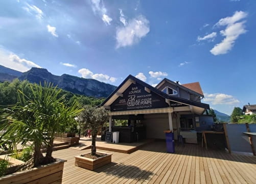
- Sport
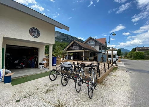
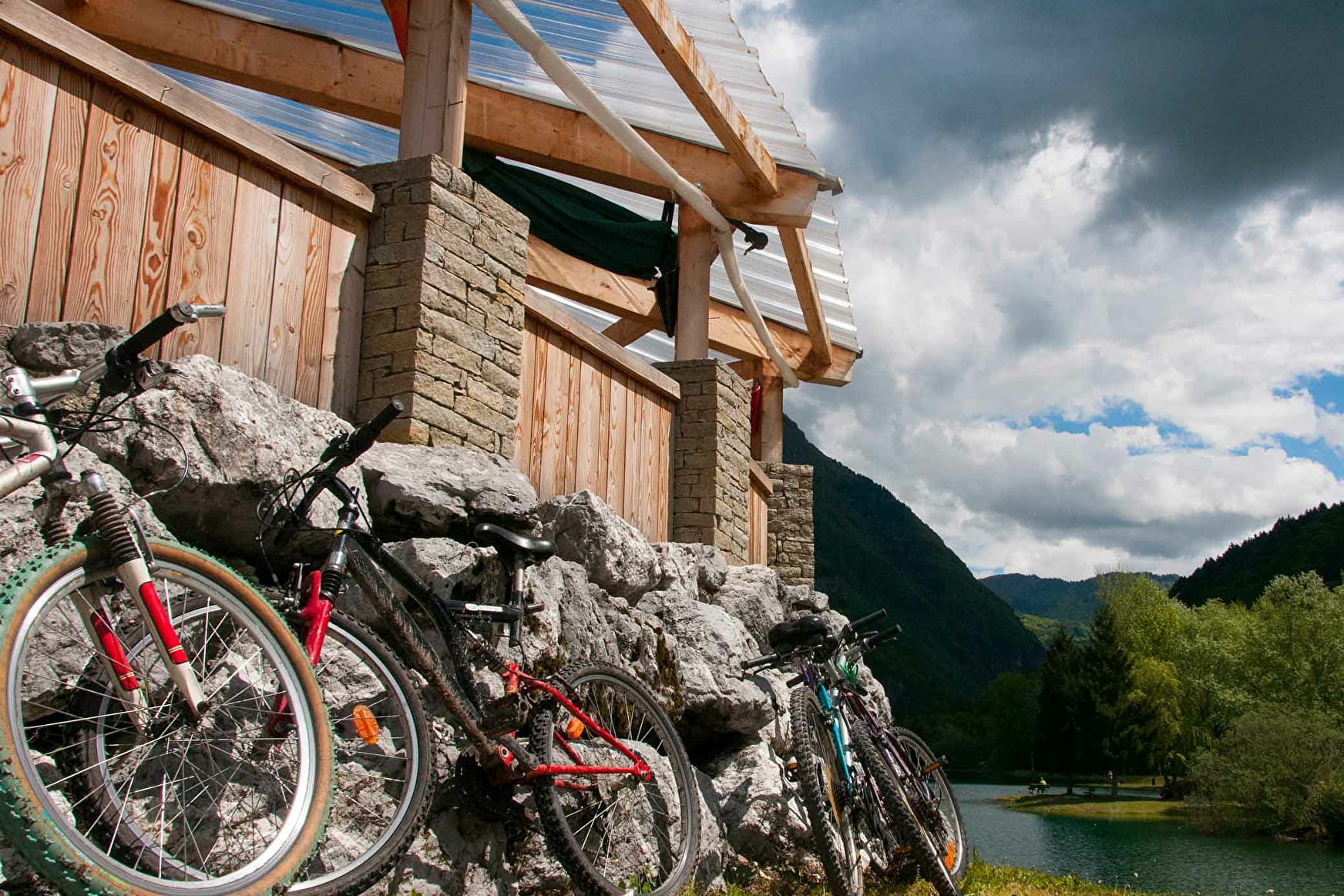
Mountain bike itinerary: La Favergie
This route crosses the small streams (Bornette, Ire,
Glière, Chaise…) that flow into the region’s major rivers (Rhône and
Isère). Landmarks to visit: communal oven and fountain in Marceau, Giez golf course, Qoq ice house, artificial lake educational trail.
Sport Mountain bike itinerary: La Favergie Doussard
About

Further informations
Stone, Ground, Hard coating (tar, cement, flooring), Grit
Prices
Free access.
Methods of payment accepted : Check, Cash
Reception
Period of practice
All year round.
Subject to snow conditions.