A small loop to discover the playful and playful ridge of Evettes. From the Planay car park, cross the departmental road (take care in this bend) and take the municipal road briefly to the Le Crêt post. Take the track to the left that gradually climbs to the Col du Drayon (a pretty setting between farms and meadows). At the Col, take the crest path to the left: small crossings, rolling sections and roots on the program! When leaving the woods, continue on the track towards Lachat then Reguet, and continue to the hamlet of Cheloup. Turn left onto Route des Grandes Alpes and join Planay.
- Sport
Le Roc des Evettes FFC n°55
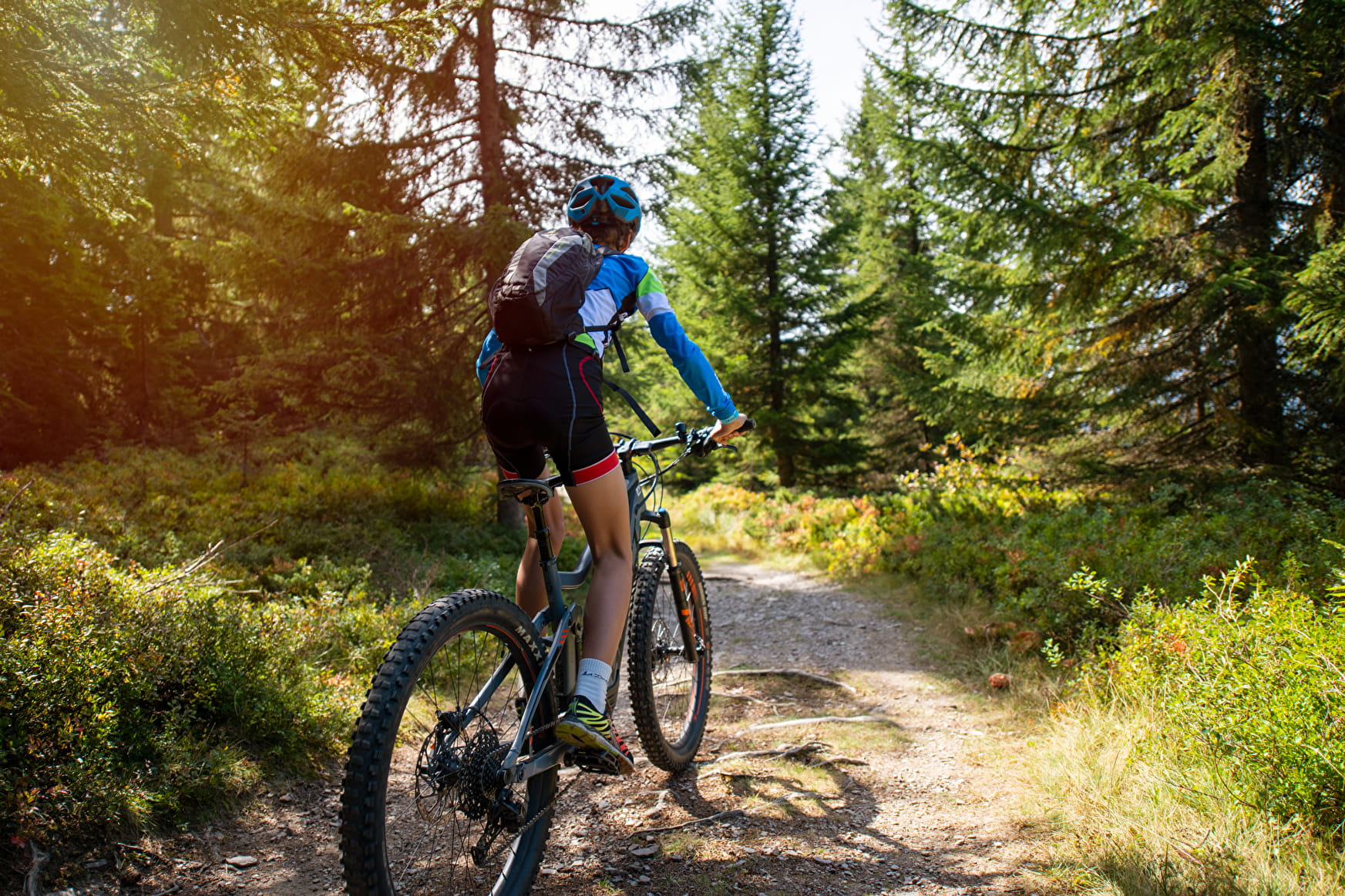
Beautiful circuit that will make you discover from the heights, the village of Notre Dame de Bellecombe and its hamlets.
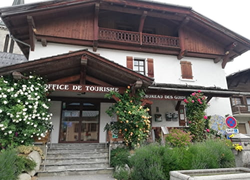
Sport Le Roc des Evettes FFC n°55 Notre-Dame-de-Bellecombe
About

Signs
E-MTB route markings - Espace Diamant MTB map
Map references
Sports VTT map on sale in the Uffizi at € 4 OR Espace Diamant MTB card on sale in the tourism office at € 2.50.
1 1

Prices
Sports VTT map on sale in the Uffizi at € 4 OR Espace Diamant MTB card on sale in the tourism office at € 2.50.
Methods of payment accepted : Bank/credit card, Check, Cash
Period of practice
From 15/06 to 15/10.