The walk is quite long and so in order to make the most of it, we recommend you plan a full day.
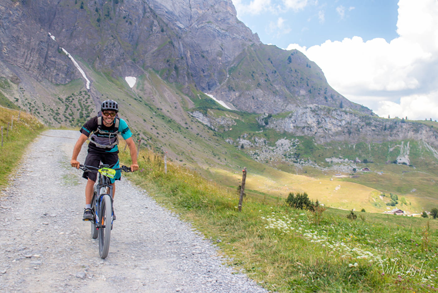
From the Tourist Office in La Giettaz, climb up towards the Col des Aravis. At the Col, follow the legendary Route de la Soif, walking through areas of alpine pastureland and chalets. Go as far as the Arpettaz refuge. From the refuge, take the same route back in reverse.
- Sport
La Route de la Soif FFC n°46
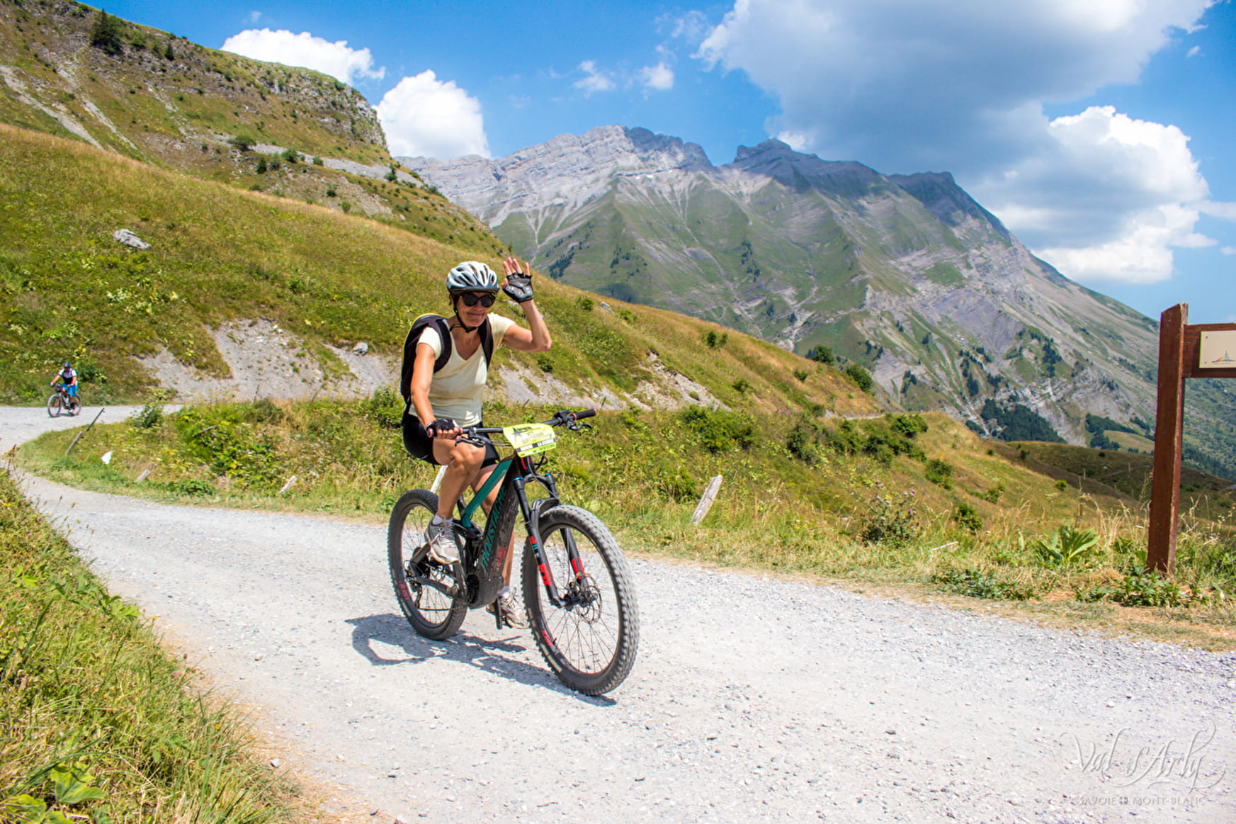
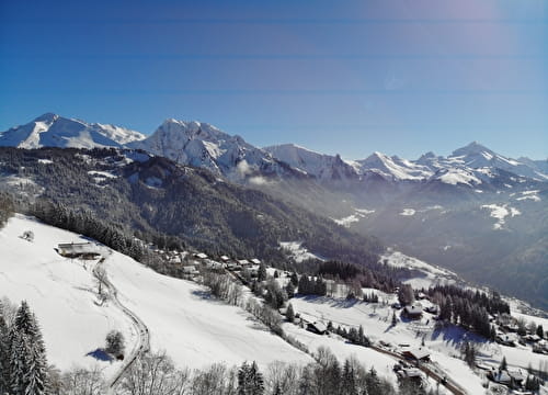
From the Route de la Soif, you can admire the extensive panoramic views over the Mont-Blanc mountain range, the Beaufortain and the valley area.
Sport La Route de la Soif FFC n°46 La Giettaz
About

1 7


Prices
Free of charge. Map of trails in sale at the Tourist Office at 2,50 €.
Methods of payment accepted : Cash
Period of practice
From 01/06 to 30/09.