Enduro Trail - Valfréjus Arrondaz
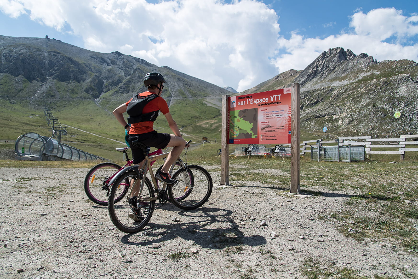
The climb requires a good level of fitness, especially with a muscle-powered MTB as you have 13 km ahead of you of which 10 are uphill for an elevation gain of 950 metres.
Enduro Trail - Valfréjus Arrondaz Valfréjus
About

Signs
Marker "MONTEE ENDURO"
Map references
Haute Maurienne Vanoise mountain bike map sold in the Tourist Offices
Topoguides references
Haute Maurienne Vanoise mountain bike booklet sold in the Tourist Offices
Further informations
Ground
1 2


Prices
Free access. Chairlift ticket in addition.
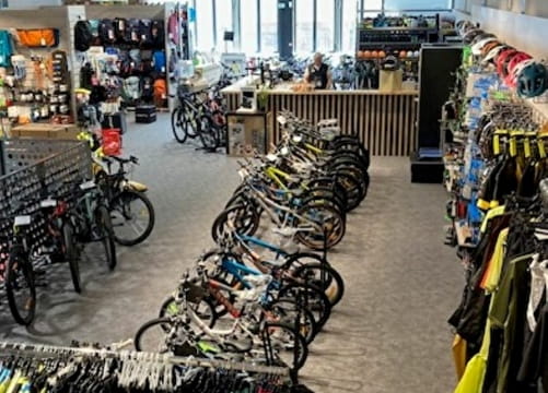
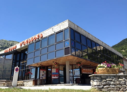
Reception
Period of practice
From 15/06 to 01/10.
Subject to favorable snow and weather conditions.
Contacts
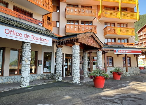
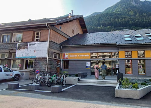
Access
By car, park in the car park near the Tourist Office.