Enduro Trail - Termignon
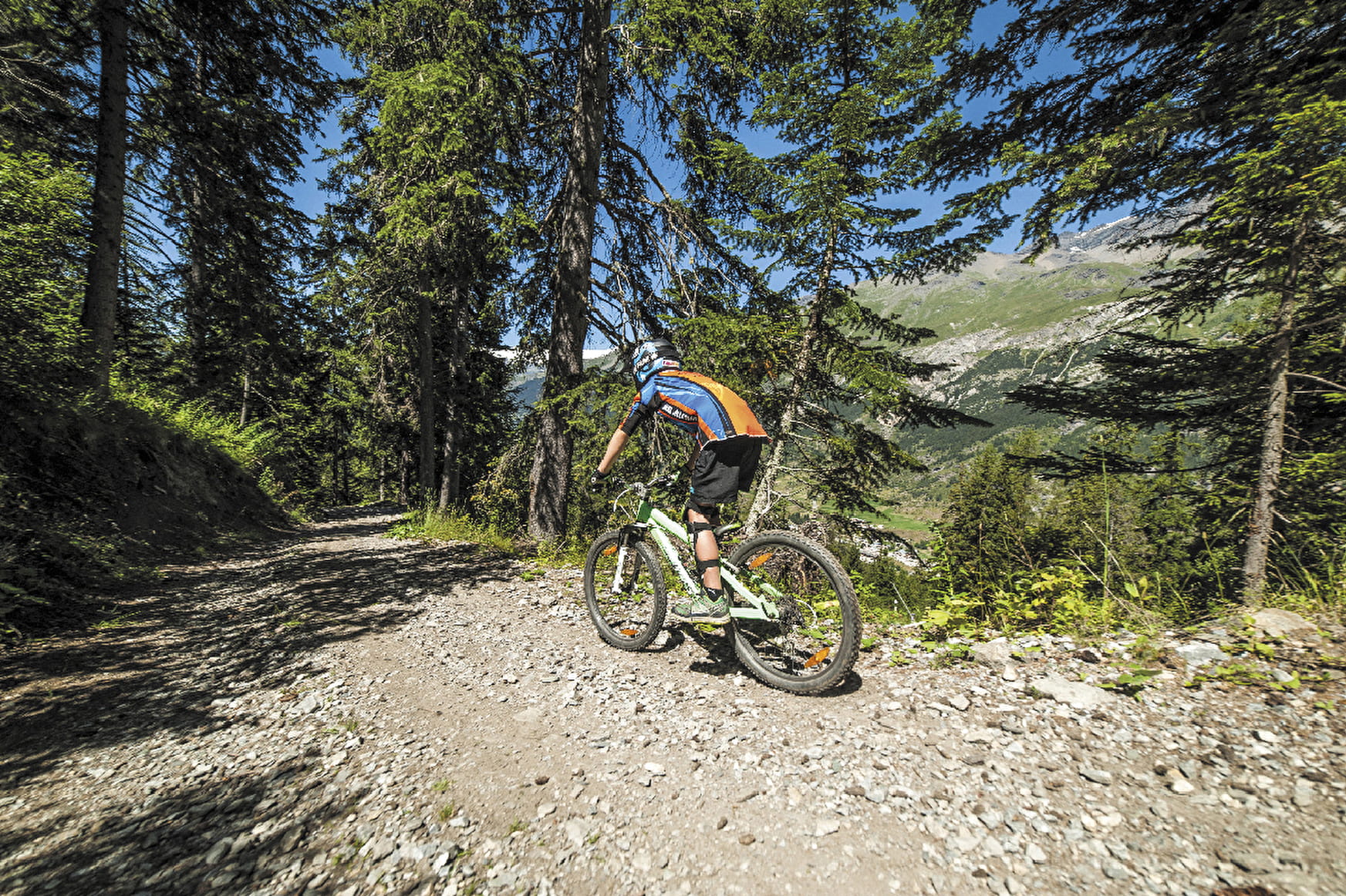
An elevation gain of 803 metres on a track which climbs steadily for 8.5 km to the Replat des Canons. Adopt the right pace from the start and you should make it to the top to be rewarded with a beautiful panoramic view and a well-deserved descent.
About

Signs
Marker "MONTEE ENDURO"
Map references
Haute Maurienne Vanoise mountain bike map sold in the Tourist Offices
Topoguides references
Haute Maurienne Vanoise mountain bike booklet sold in the Tourist Offices
Further informations
Ground


Prices
Free access.
Reception
Period of practice
From 15/06 to 01/10.
Subject to favorable snow and weather conditions.
Contacts
Access
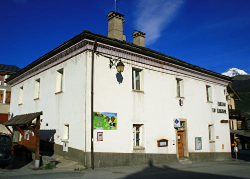
By car, park in the Maison de la Vanoise car park.
During the summer season, you can take the bus line S52 (Modane - Aussois - Lanslebourg) or S53 (Modane - Bonneval/Arc) and get off at the "Maison de la Vanoise / Mairie" stop; the bus is equipped with a bicycle trailer every day except Saturday.