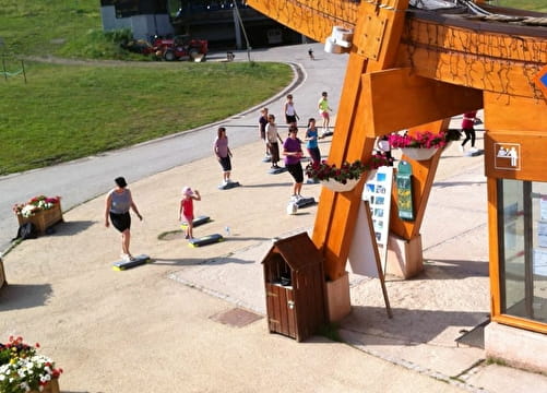
Enduro Trail - La Norma
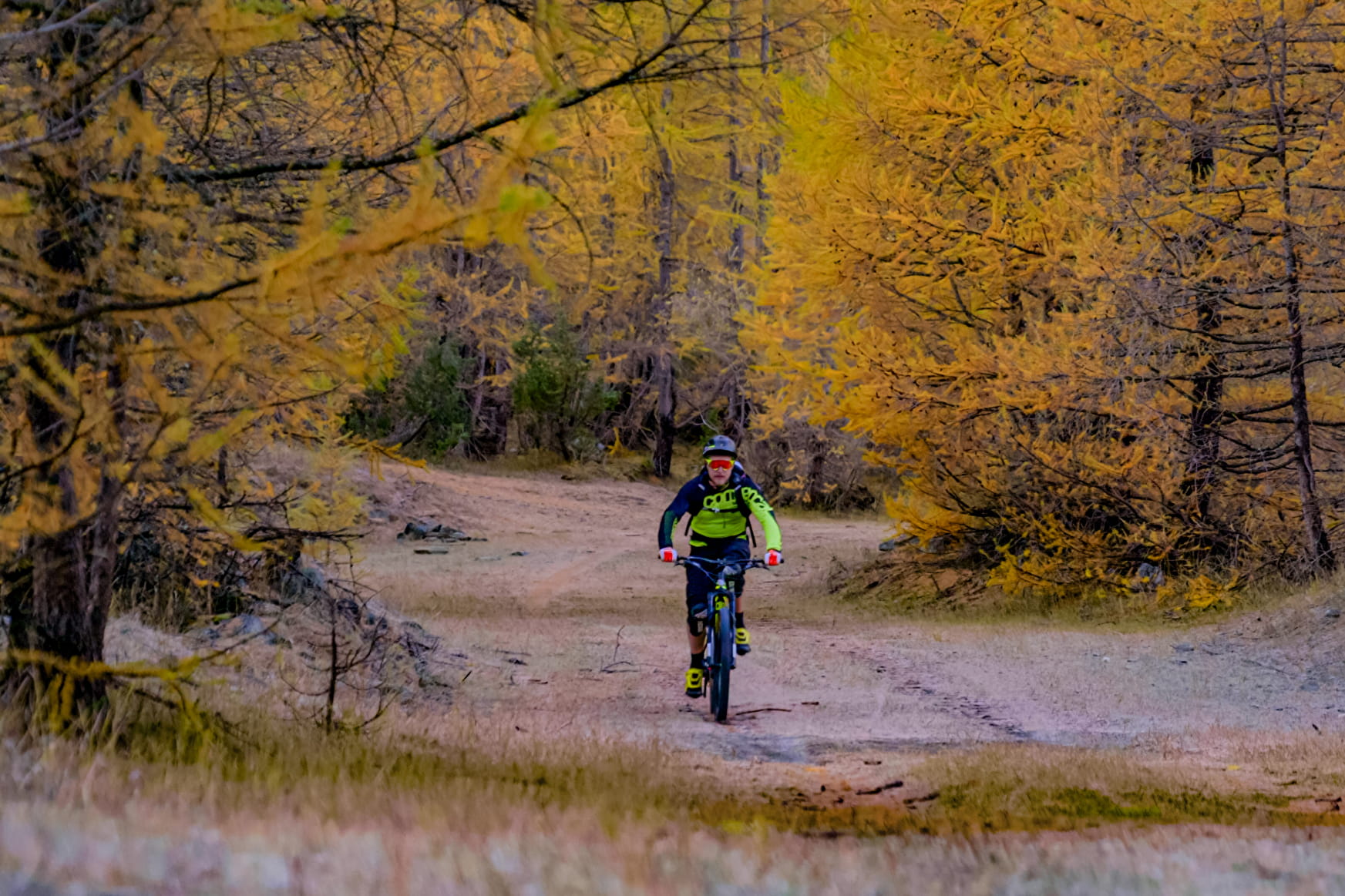
An easy trail without excessive slope to cross the 648m of difference in altitude that separate the resort from the start of the enduro trails. It gives access to the start of the 5 enduro trails of La Norma.
Enduro Trail - La Norma La Norma
About

Signs
Marker "MONTEE ENDURO"
Map references
Haute Maurienne Vanoise mountain bike map sold in the Tourist Offices
Topoguides references
Haute Maurienne Vanoise mountain bike booklet sold in the Tourist Offices
Further informations
Ground
1 2


Prices
Free access.
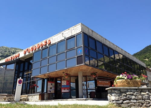
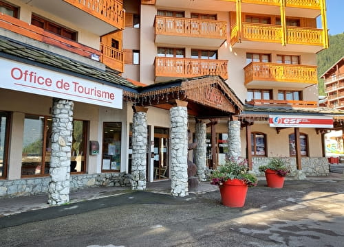
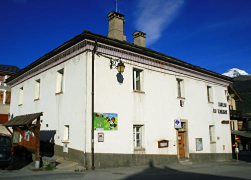
Reception
Period of practice
From 15/06 to 01/10.
Subject to favorable snow and weather conditions.
Contacts
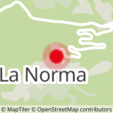
Access
By car, park at the La Norma leisure centre.