The first ascent takes you to the Arponts plateau, partly via a lovely forest track, then onto a magnificent singletrack balcony leading across the mountainside to the Plan Sec Refuge located above the lakes of Plan d'Aval and Plan d'Amont.
The descent from Plan d'Aval is on the Moulinator 1 & 2 enduro trails (back with a vengeance!).
This challenging itinerary requires good physical fitness and a little technique. Exceptional views over the mountains and valley and the guarantee of a high-mountain decor.
Located on the edge of the Vanoise National Park, the Plan d'Amont and Plan d'Aval dams (built between 1945 and 1956) contribute to feeding the power stations in the valley. Both lakes supply water to Mont-Cenis lake, despite the latter being located on the other side of the valley.
Departs from: Plan de la Croix (on the road between Aussois and Val Cenis Sardières).
7 - Cross-country - Black - Plan d'Aval
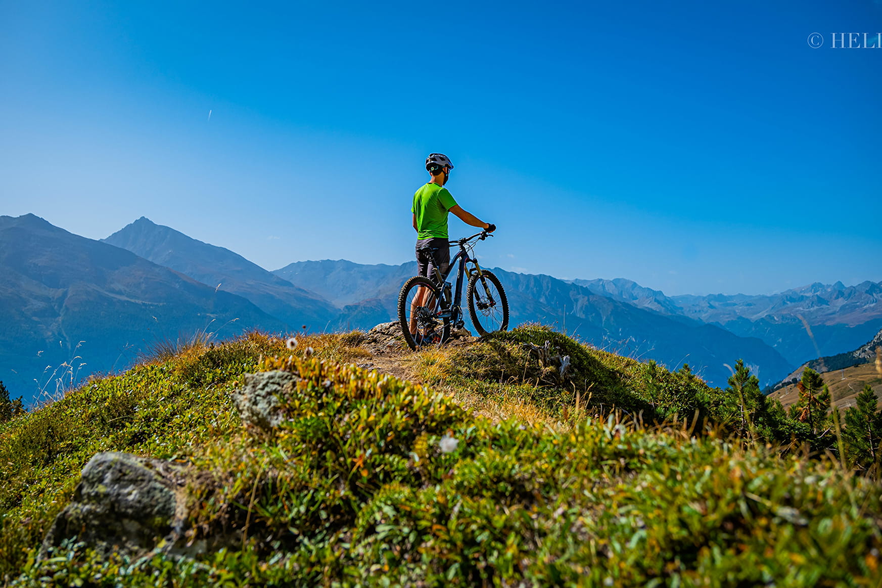
A long and beautiful cross-country itinerary. Never forget that these fabulous trails are in mountain terrain and require technique on both the uphill and downhill sections.

7 - Cross-country - Black - Plan d'Aval Aussois
About

Map references
Haute Maurienne Vanoise mountain bike map sold in the Tourist Offices
Topoguides references
Haute Maurienne Vanoise mountain bike booklet sold in the Tourist Offices
Further informations
Rock, Ground
1 1

Prices
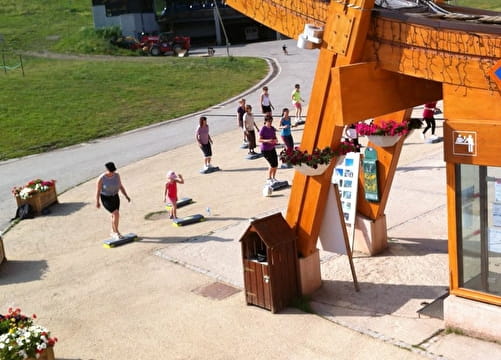
Free access.
Period of practice
From 01/05 to 15/10.
Subject to favorable snow and weather conditions.
Contacts
Access
The start of the route is in Aussois La Croix (Aussois exit in the direction of Sardières), parking nearby.
During the summer season, it is possible to take the bus line S52 (Modane - Aussois - Val Cenis) and get off at the stop "Le Centre"; bus equipped with a bicycle trailer every day except Saturday.