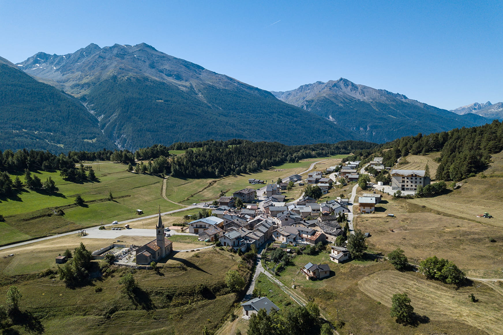
The first climb takes you up to Sardières and, beyond the village, the famous monolith. After this geological curiosity you'll reach the resort of Aussois before descending to the banks of the Arc. You'll then need a bit of muscle power to climb back up to Bramans.
The Sardières monolith is a relatively straight vertical structure of cargneule rock which rises to a height of 93 metres above the ground. These dolomitic limestone rocks are hard and compact, standing up to the erosion which has cleared the site of the less resistant rocks that once surrounded the monolith.
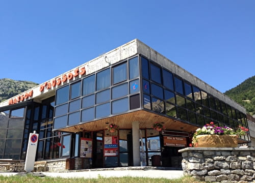
Departs from: Plan de la Croix, Val Cenis Bramans, or Val Cenis.
3 - Cross-country - Red - Le Verney
This itinerary features two great uphill sections but nevertheless remains accessible to intermediate mountain bikers. The Sardières monolith makes an interesting place to stop for a break.
3 - Cross-country - Red - Le Verney Aussois
About

Map references
Haute Maurienne Vanoise mountain bike map sold in the Tourist Offices
Topoguides references
Haute Maurienne Vanoise mountain bike booklet sold in the Tourist Offices
Further informations
Ground
1 3


Prices
Free access.
Period of practice
From 01/05 to 01/11.
Subject to favorable snow and weather conditions.
Contacts
Access
The start of the route is in Aussois La Croix (Aussois exit in the direction of Sardières), parking nearby.
During the summer season, it is possible to take the bus line S52 (Modane - Aussois - Val Cenis) and get off at the stop "Le Centre"; bus equipped with a bicycle trailer every day except Saturday.