An easy trail going gently uphill towards Sardières and onto the Grand Cerf track. The ride back down to Sollières is via a fun and easy singletrack path which is great for perfecting your technique. Stop at Sollières to visit the Archaeology Museum.
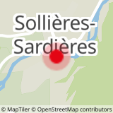
Departs from: Val Cenis Sollières.
20 - Cross-country - Blue - Villeneuve
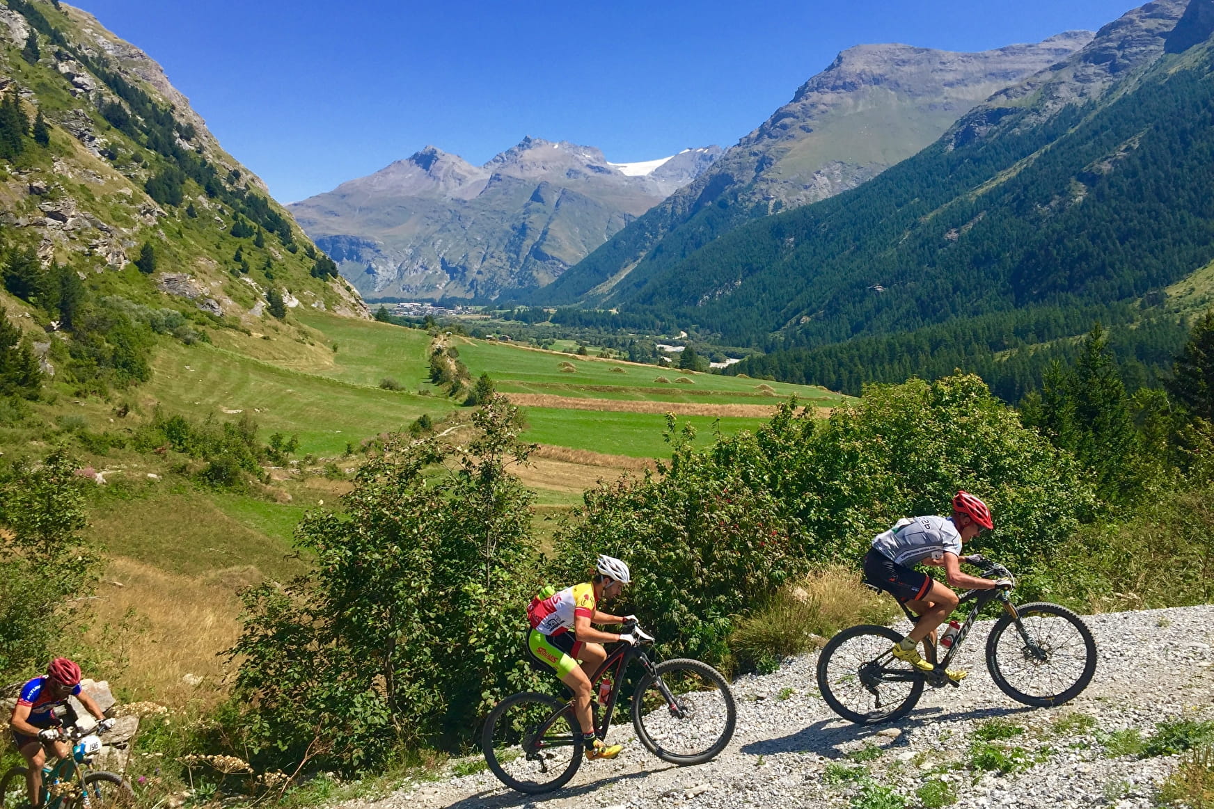
No particular difficulty on this itinerary which offers the chance to visit the Archaeology Museum in Sardières.
20 - Cross-country - Blue - Villeneuve Val-Cenis
About

Signs
French Cycling Federation signposting
Map references
Haute Maurienne Vanoise mountain bike map sold in the Tourist Offices
Topoguides references
Haute Maurienne Vanoise mountain bike booklet sold in the Tourist Offices
Further informations
Stone, Ground, Grit
1 1

Prices
Free access.
Period of practice
From 01/05 to 01/11.
Subject to favorable snow and weather conditions.
Contacts
Access
The start of the route is at the municipal campsite Le Chenantier de Sollières, parking nearby.
In the summer season, possibility of taking the bus line S53 (Modane - Bonneval/Arc) and getting off at the "Les Favières" stop; bus equipped with a bicycle trailer every day except Saturday.