The tower Pontille / Difficulty: Intermediate
Distance: 11.6 km
Déniv + 450 m / Déniv - 450 m
A hilly course over varied terrain, looping around the gorges of Pontille over adret (sunny) and ubac (shady) slopes. Ideal for assimilating to altitude.
From the heart of Champagny, you take a dirt track "Les Ecloués" that leads down to the lower end of the village. After a few meters on a paved road, you cross the Chailles bridge and take a left turn onto a cart track. After the third bend, you join a path that passes above the Gorges of Pontille, joins the Couaz dam and takes you into the valley of Champagny le Haut. The short route (7km) on the left bank of the Doron as far as the cross-country skiing chalet near the hamlet of le Bois. Crossing the bridge you turn left and take the wide path on the right bank of the Doron back up under la Chiserette. After crossing another bridge, you rejoin your outbound route to go to la Couaz, from where you take the trail to Plan des Mains and back to Champagny.
- Sport
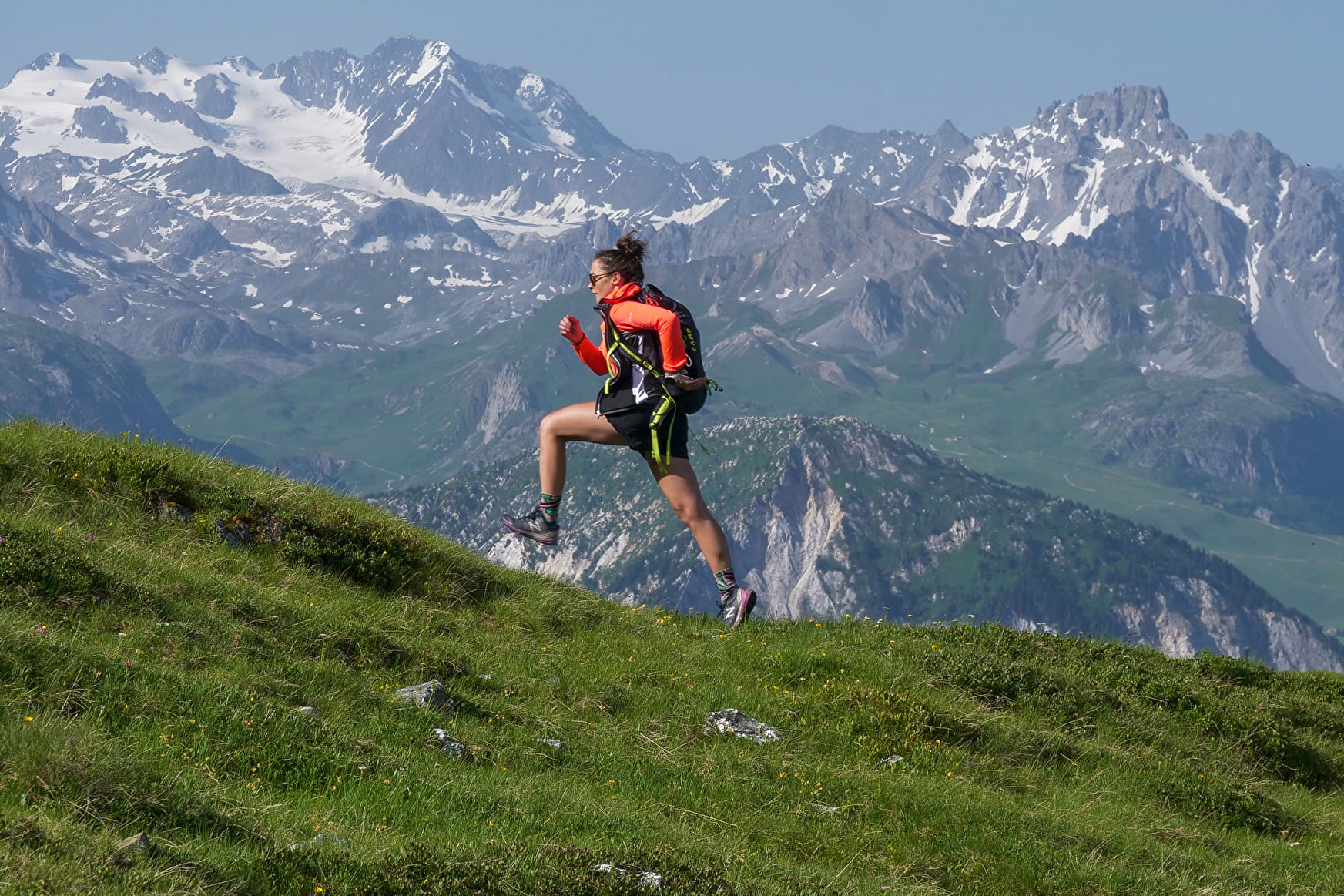
TRAIL route - Tour of La Pontille
Departure from the centre of Champagny
Hilly course over varied terrain looping around the gorges of la Pontille over adret (sunny) and ubac (shady) slopes. Ideal for getting used to changes in elevation
Sport TRAIL route - Tour of La Pontille Champagny-en-Vanoise
About
1 1

Prices
Free access.
Reception
Period of practice
From 01/05 to 31/10.
Subject to favorable weather.
Services
- Pets welcome
- Picnic area
- Car park
- Parking
- Free car park
Contacts
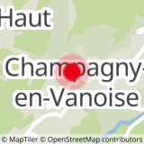
Access

