- Sport
Tovière trail running itinerary
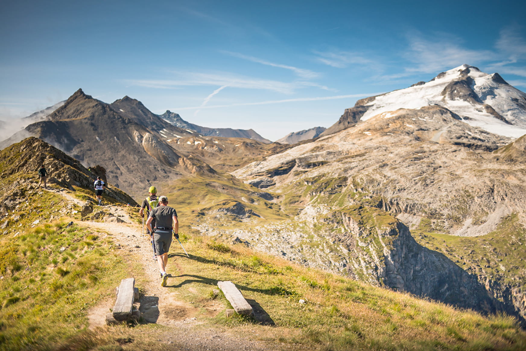
Take up the challenge of Tovière and its 663m drop! Course of the Tignes Trail, this topo is ideal for training. Trail runners with a little tired knees will enjoy a gondola descent halfway through.
About


1/ From the bottom of the Tovière gondola, take the footpath towards Le Lavachet, then turn right towards the GR5 (passing over the avalanche dike)
2/ Arrived at the Tovière valley, turn right and climb towards Pas de Tovière towards the pass of the same name
3/ Continue along the Fresse ridge (passing through the orientation table) to the Col de Fresse
4/ Descend through the Vallon du Paquis by the GR55
5/ You then join the road, pass in front of the cinema and the golf course and reach the Val Claret roundabout
6/ Turn left towards the lake, the shore of which you will follow to the right (under the Tufs) to the nautical base
7/ Cross the "Plage des Sports" to reach your starting point
Prices
Free access.
Reception
Period of practice
From 01/06 to 31/10.
Depending on snow.
- Pets welcome
Contacts
Access


