Use the description of the route "From village to village: Crest-Voland / Le Cernix n ° 7" if starting from Cernix, then course "Le chemin de Bostu n ° 8", "Le Mont-Lachat par les Reys n ° 10" and "Descent of Mont-Lachat n ° 9". If the start was from Crest-Voland, repeat the description of the route "From village to village: Crest-Voland / Le Cernix n ° 7".
- Sport
The Tour of Mont-Lachat n°11
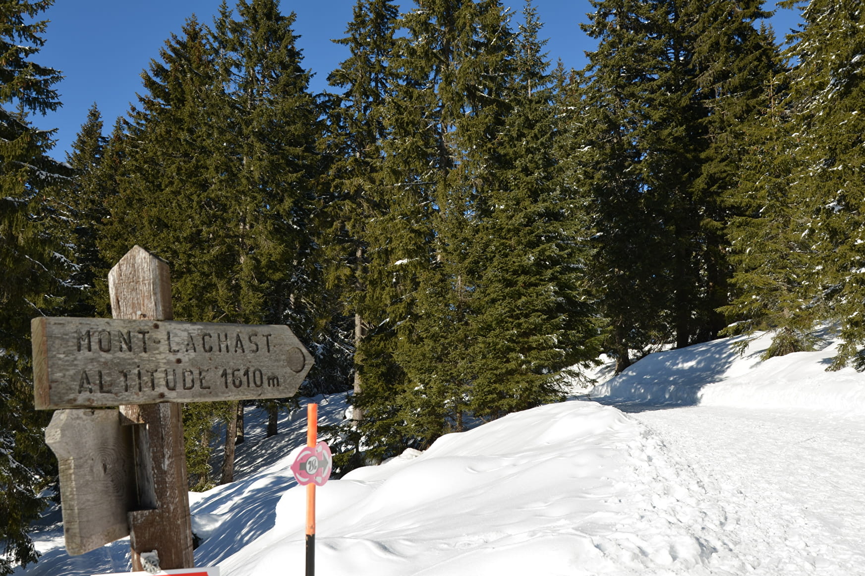
Hiking day with a small meal break at the top of Mont Lachat.
Sport The Tour of Mont-Lachat n°11 Crest-Voland
About
Prices
Free of charge.
Period of practice
From 15/12 to 15/04.
Subject to snow conditions.
Contacts
Access
Accessibility by car.
Departure from the Crest-Voland Tourist Office, or from Place du Cernix.
