The view over the Illiez and Abondance valleys reveal a fraction of the many routes taken by the smugglers on their clandestine operations. Their encounters have left some wonderful and revealing stories in this frontier region which are starting to fade from memory.
To learn more about their aventures, you can rent a special battery pack from the "Vieille Douane" or Châtel Tourisme, between June and September, which activates the audio posts ("borne sonore") along the way.
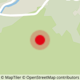
From the old customs building "Vieille Douane", follow the RD22 road to Morgins for about 100 metres, then take the track that leads straight to the border and to markers 1737 and 1891.
Carry on towards "La Pointe du Midi". There's a shorcut for families to head back through the forest, if needed.
For a harder walk, head along the border ridge by the "Plan des Mitres", to the "Col de Fecon". Head home via the "Perthuis" chalets and "Aity" before arriving at the "Vieille Douane".
- Sport
Walking route -" On the former smuggler's trail"
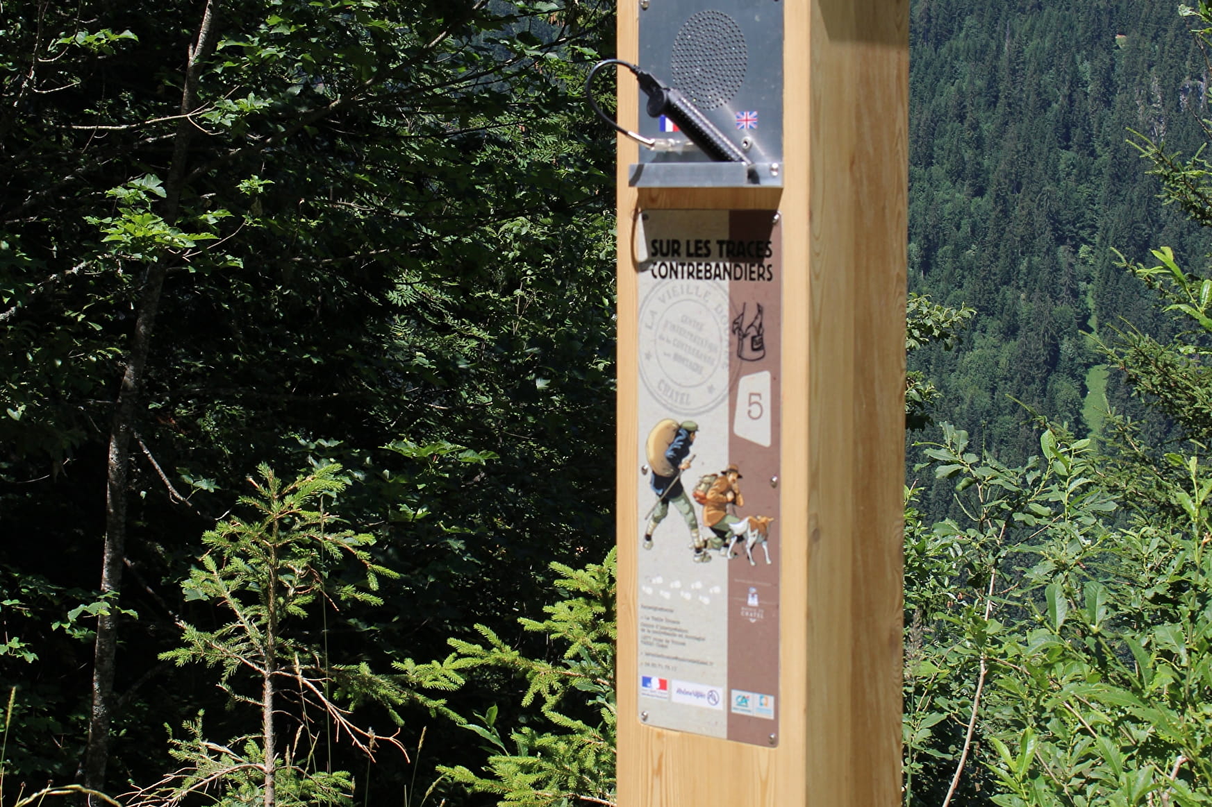
This walk follows the footsteps of former smugglers and customs officers who criss-crossed the region until the 1950s.
About

Signs
Trail-specific signposting and audio markers.
Difficult passages
Some steep and aerial passages
Map references
Top 25 IGN 3528 ET
Topoguides references
Châtel walking map for €3 Topo guide "Balades et randonnées en Vallée d'Abondance" (Walks and hikes in the Abondance Valley) for €5 Portes du Soleil walking map for €4 (Maps for sale at the tourist office)
Further informations
Stone, Ground


1/From the old customs building "Vieille Douane", follow the RD22 road to Morgins for about 100 metres, then take the track that leads straight to the border and to markers 1737 and 1891.
2/Carry on towards "La Pointe du Midi".
There's a shorcut for families to head back through the forest, if needed. For a harder walk, head along the border ridge by the "Plan des Mitres", to the "Col de Fecon".
3/Head home via the "Perthuis" chalets and "Aity" before arriving at the "Vieille Douane".
Prices
Free access.
Reception
Whichever walk you choose, we recommend that you :
- Wear appropriate footwear and always take with you: warm clothing, preferably waterproof, plenty of water, sunglasses, sun cream and a small first-aid kit.
- Do not set off alone.
- Inform someone living in the valley of your plans.
- Do not change the planned itinerary indiscriminately. But do not hesitate to shorten it if necessary.
- Carry a map and even a torch.
- Check the weather forecast before setting off.
- In the event of a thunderstorm, move away from ridges, passes and summits as soon as possible and never take shelter under an isolated tree.
Dogs must be kept on a lead due to the presence of herds.
Period of practice
From 01/06 to 31/10.
- Pets welcome
- Car park
- Free car park
Contacts
Access
Departure from the Lake Vonnes lift ticket office car park.
Shuttle line 4 stop Gabelou (July & August).
- Not accessible in a wheelchair

