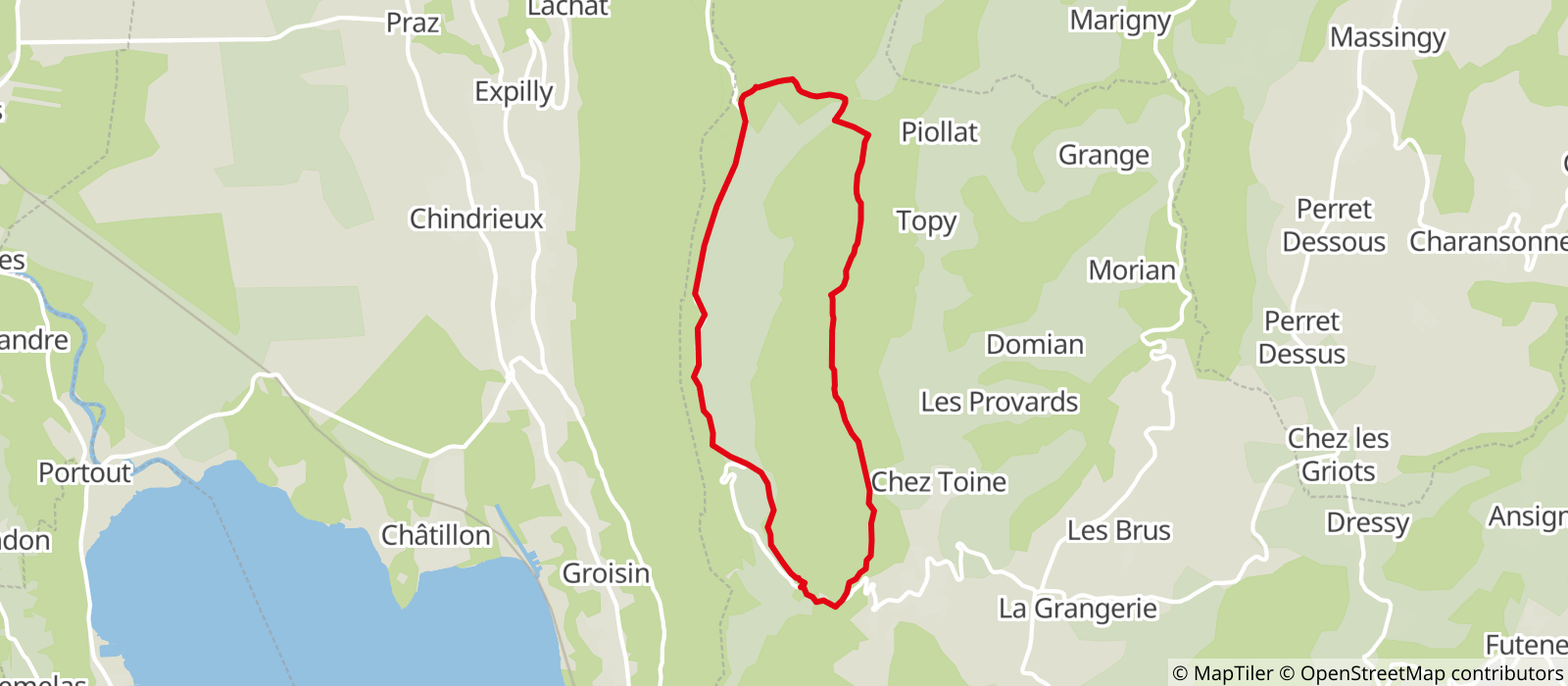
The trail starts just before the Chapel, on the parking lot named “La Carrière”. Yellow signs will indicate either “Tour du Sapenay” or “Col du Sapenay”.
Take the large forest trail at the end of the parking lot. When you reach “Les Masures” (yellow signs), go straight towards “Col du Sapenay“. On the way, a viewpoint will let you admire remote parts of Cessens as well as the Bauges mountain range.
You will then come to another yellow sign, named “Le Tuyau”. From here you can either follow the normal hike or take the alternate – and shorter – one. If you decide to go for the main one, keep going straight, still towards “Col du Sapenay“. The trails slightly goes up to “Pre Reinet” then goes down to a forest road in Le Sapenay. The walk continues on a paved and scenic road across the Sapenay site. After nearly 2,5km, you will reach a sharp turn : take a left into the stony trail and then a right at the crossraod called “Fornay”. Following this path, you will arrive to a little chapel, right next to the parking lot you departed from.
Comment: there are a few sightseeing areas along the road – paragliding, hang gliding, view points over the Lac du Bourget and the Chautagne area. It is highly recommended to take the time and check them out.
Alternate “Sapenay Tour”
If you prefer the shorter walk, take the trail on your left at the crossroad called “Le Tuyau”. This is a forest path, going up in the forest and along the Sapenay meadows. You will discover a beautiful view over the Lac du Bourget at the place called “Fornay” (with yet some other yellow signs). Follow the trail straight ahead. It will lead you to a small chapel and back to your car.
- Sport
Tour du Sapenay

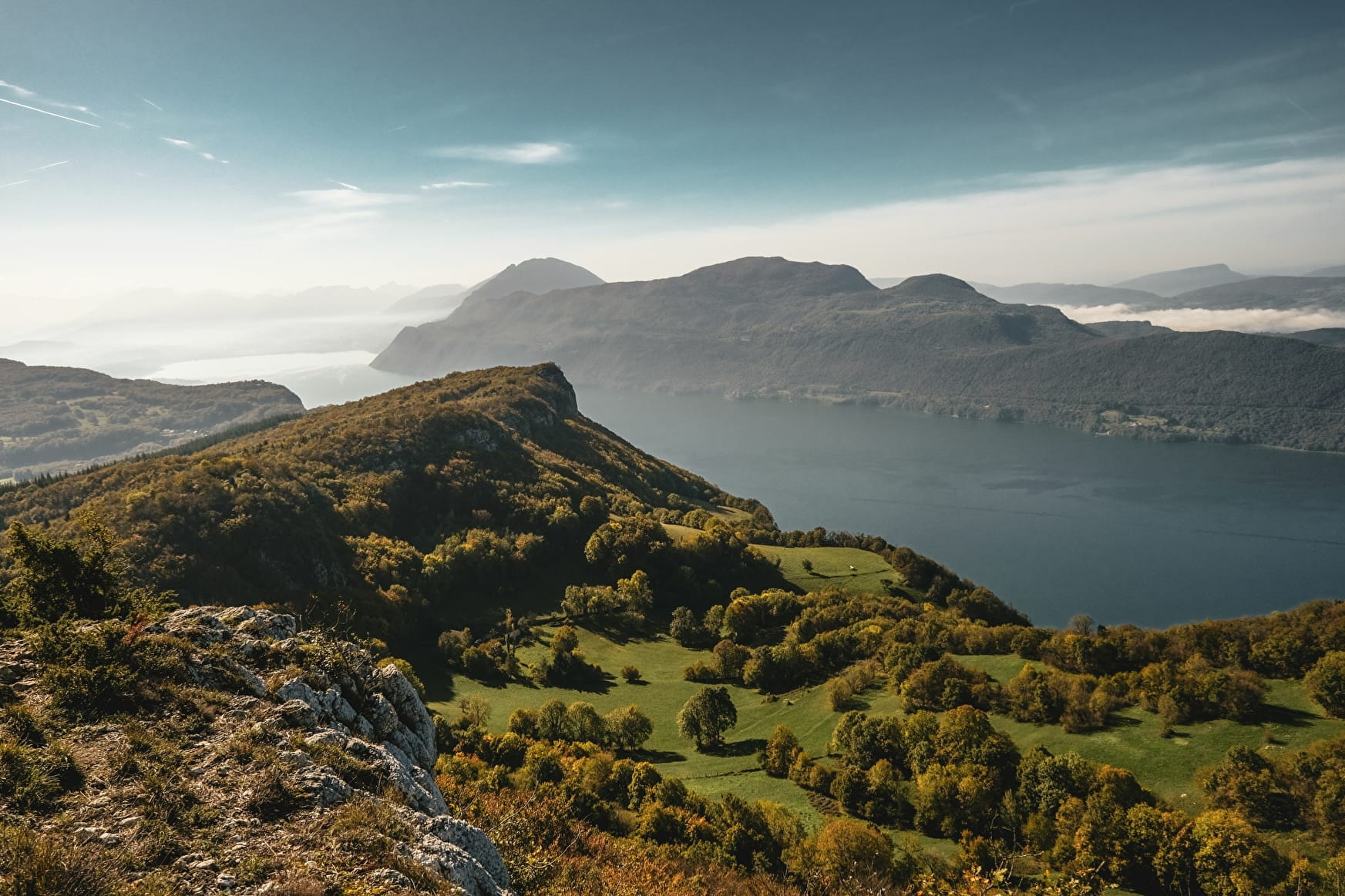
The “Sapenay Tour” walk will take you through the forest and on a nice scenic road – great views over the Lac du Bourget guaranteed!

Sport Tour du Sapenay Entrelacs
About

Signs
The trail is marked by yellow signs "Tour du Sapenay"
Map references
Map: IGN Top 25 - 3331 OT Rumilly Seyssel
Prices
Free access.
Reception
Period of practice
All year round.
Subject to favorable snow and weather conditions.
Services
- Pets welcome
Contacts
Access


