
This territory has been spared from urbanisation and is a remarkable place to discover nature and wonderful panoramas. Its small surface and its rolling topography are perfect for an easy family trip.
- Sport
Tour du Roc de Chère
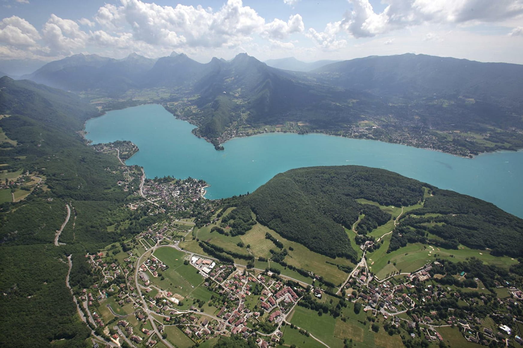
The local nature reserve encompasses a part of the Roc de Chère, a small wooded massif (200 ha) which sticks out on Lake Annecy, between Menthon-Saint-Bernard and Talloires-Montmin.
Sport Tour du Roc de Chère Talloires-Montmin
About

Further informations
Stone, Ground, Grit
Prices
Free access.
Reception
Period of practice
All year round.
Subject to favorable snow and weather conditions.
Services
- Pets welcome