
How to go:
After Planay Chel Lieu village take the road at the left side in the direction of Chamberanger. Before Chamberanger, take the road at the right side which reaches Plan Fournier (1723m) where you can find a small parking with some places.
To go up:
Go between the houses located at the left side of the road (when you are going up) and take the footpath that goes through the forest. Then the hike follows a mass of fallen rocks from the Tour du Merle and goes with tight zigzags. It joins a small crest where you have the junction with the hike that goes to Champagny en Vanoise. Let this footpath and take the left one that goes to the bottom of the Tour du Merle which is a real curiosity.
Going down:
Take the same hiking trail to return.
Attention: The top access at the Tour du Merle is reserved for people who are expert climbers.
The Tour du Merle is also accessible from Champagny en Vanoise.
- Sport
Tour du Merle return
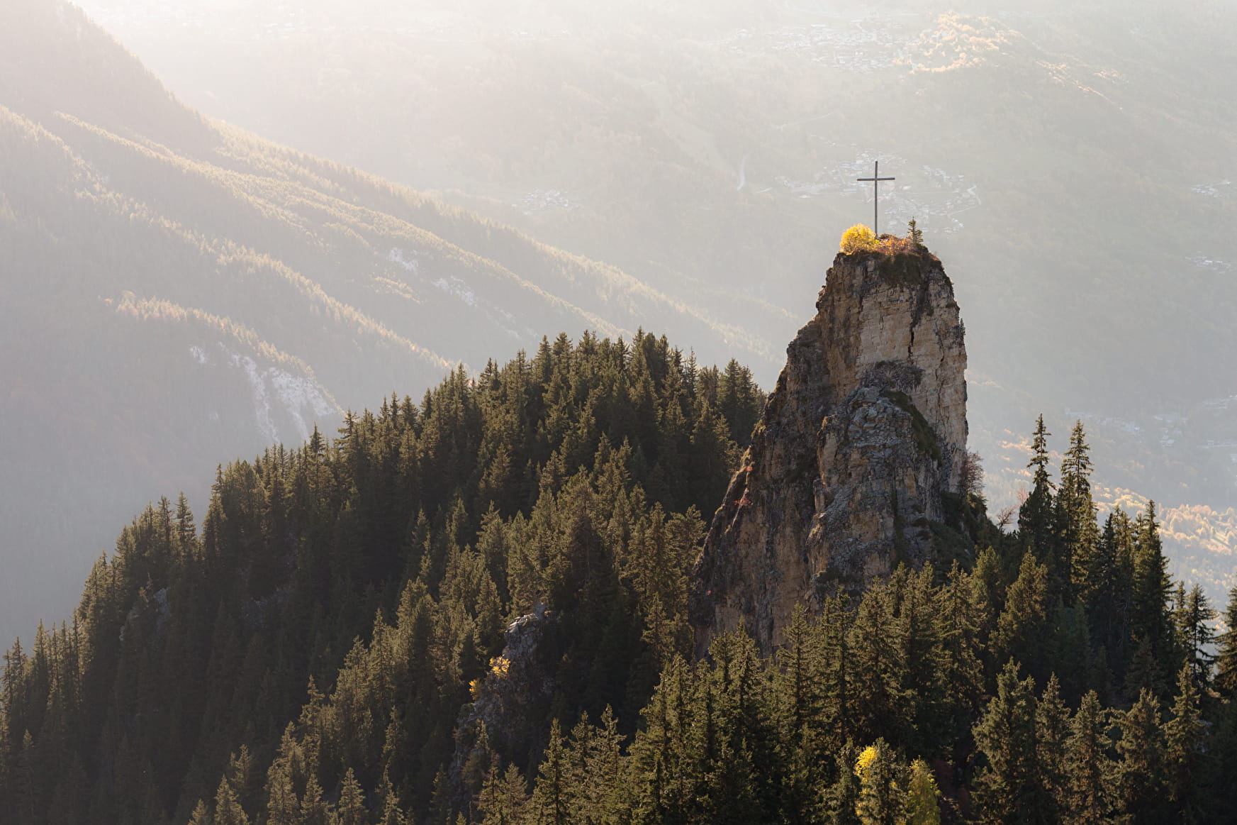
A secret footpath through a deep fir forest, leading to the foot of the Tower, sentinel marking the entrance to the Vanoise.
Sport Tour du Merle return Planay
About

Further informations
Ground
Prices
Free access.
Reception
Period of practice
From 01/05 to 31/10.
Depending on snow condition.
Services
- Pets welcome
- Car park