
GO TO
Take the path that starts 50 metres before the car park and quickly climbs to the small plateau of Prec.
Shortly afterwards, follow the path on the left which descends to the Ruisseau de Bissorte, crosses it on a footbridge and climbs to the eastern end of the dam.
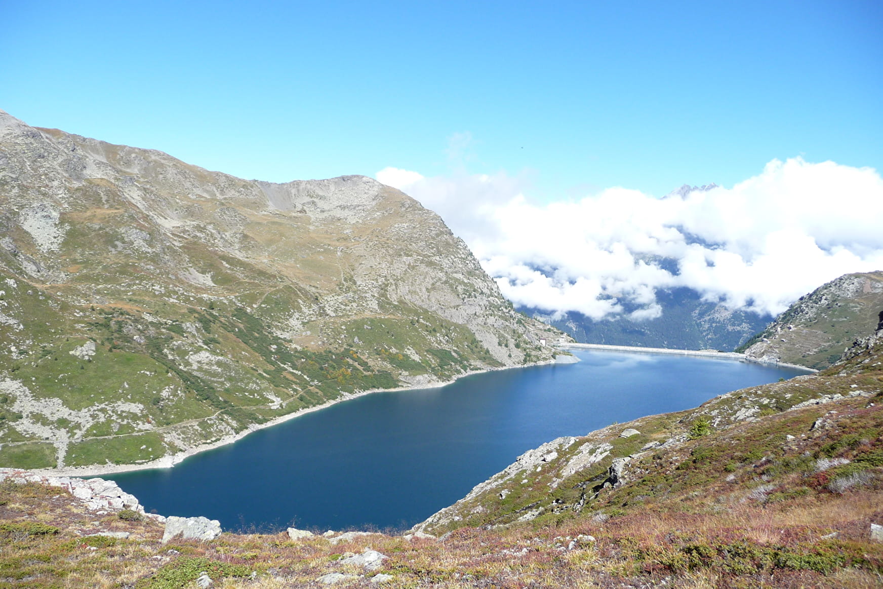
Cross the dam and go up to the left bank of the Lac de Bissorte.
At the end of the lake, the path climbs to reach a footbridge under the Refuge des Marches.
LAC DES BATAILLÈRES
About 150 metres above the refuge, at the intersection, continuing straight on, you can climb to the Lac des Bataillères (2422m). A sign gives an estimated time of 50 minutes.
Return to the intersection above the refuge.
RETURN
For the return to the right bank of the reservoir, the path goes up to the right above the refuge and crosses the whole eastern bank of the Lac de Bissorte.
It finally descends to the eastern end of the dam. Cross the dam again.
At the western end of the dam, turn right onto the path. Do not continue towards the house but follow the path to the left.
A path in the cliff is a good way to go back down to the Prec.
- Sport
Tour du Lac de Bissorte et Lac des Bataillères par le Prec
This loop allows you to discover the large Bissorte dam and its environment. You can also extend the route with a return trip to the Bataillères lake.
About

Signs
- Signs at junctions - Well-marked path with cairns if necessary - Blue markings for the return to the right bank of the dam
Prices
Free of charge.
Reception
Period of practice
From 15/05 to 15/10.
Subject to snow conditions.
Subject to favorable weather.