THE CREATION OF THE RESORT
Skiing was popular in Montvalezan long before any ski lifts were built. Way back in the 1920s, the villagers would get together to organise skiing competitions. In those days the ski slopes ran between La Rosière and Le Châtelard, and skiers had to climb the mountain on foot. After the war, a project was put in place to build a ski lift which would link Le Châtelard and the Roc Noir via Les Eucherts, although this idea was later abandoned due to the unpredictable snowfall in Le Châtelard. In 1959, the town council suggested using the communal pastures above the road to the Petit St Bernard pass as ski slopes. These areas, situated above La Rosière, were the ideal place to create a network of ski slopes. In December 1960, a team of local volunteers erected La Rosière’s very first ski lift, the Poletta drag lift, carrying the parts through the snow on their backs. In that same year the Relais du Petit St Bernard bar, hotel and restaurant opened its doors to its very first customers. From 1961 onwards, other ski lifts such as the Lièvre Blanc and the Dahu were erected, funded by private investors. The new Roc Noir hotel was built, and in the years following many other hotels, apartments and shops opened for business.
This is how the ski resort of La Rosière was created. Now take the Plan de l’Arc trail for a journey around the past and present of our resort.
ITINERARY
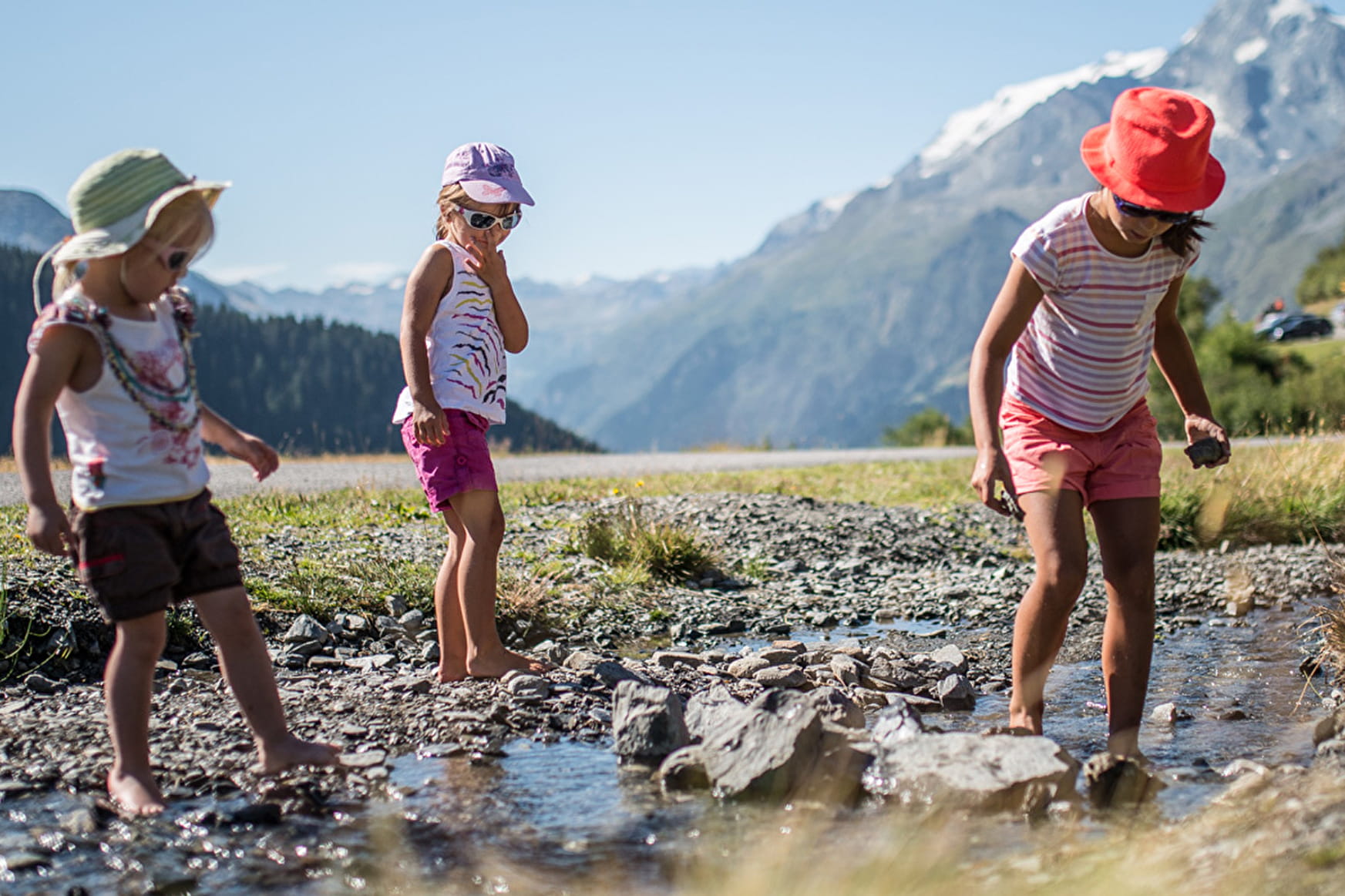
Starting off at the Tourist Office in the centre of La Rosière, head downhill for about 50m then take the steps up to the forest pathway which leads to l’Averne. When you come to the end of the path, head down the road for about 400m. Turn left and follow the path into the village square. Go past the Les Eucherts Tourist Office. Carry on for around 100m past the bottom of the chairlift until you reach the road through the original Les Eucherts village. Follow the road for 500m until you reach the Plan de l’Arc. You can make use of the numerous activities or equipment provided (children’s playground, picnic tables and barbecues, climbing wall, pétanque ground and football pitch), and enjoy the outstanding views of the surrounding Mont Valezan, Combe des Moulins, Roche Enverse and Montet. Take the same route to get back to La Rosière.
- Sport
THE PLAN DE L’ARC TRAIL
A walk through the forest towards the Plan de l’Arc leisure area. Start: La Rosière Tourist Office (Centre). Very easy.
Sport THE PLAN DE L’ARC TRAIL La Rosière - Montvalezan
About

1 1

Prices
Free of charge
Reception
Period of practice
From 07/01 to 10/31 : open daily.
Services
- Pets welcome
