DEPARTURE: Col des Aravis.
Use the roadside parking provided for this purpose, so as not to hinder agricultural users.
ROUTE: From the parking of Col, take the track towards LA ZORETTE (direction South). Take the path towards LA SOURCE DES ARAVIS, then PLANCHAUX. Join the LA signpost CROIX DE FER : return to the cross to enjoy the panorama. Then take the track back to LA TÊTE and LA ZORETTE to return to Col des Aravis.
POINTS OF INTEREST:
- The panoramas on the village of La Giettaz and the massif of Mont Blanc.
- Many alpine farms, with the possibility to buy cheese, butter ...
- Sport
The Iron Cross
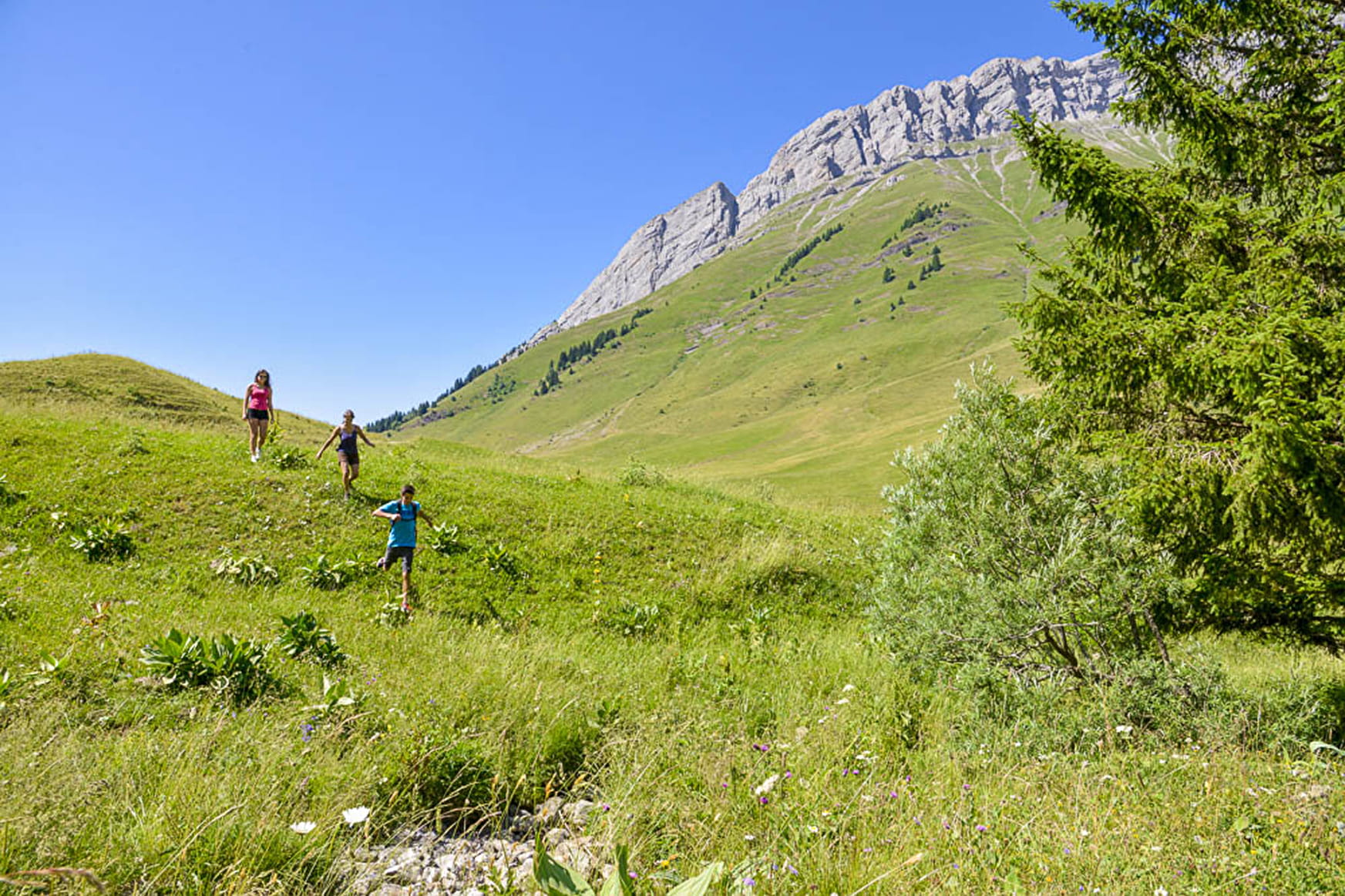
Panoramic walk at the foot of the Aravis.
The trail is used by farmers and hikers as part of their work. For a good cohabitation be courteous and let them pass.
Sport The Iron Cross La Giettaz
About

Signs
Marked with yellow signs.
Topoguides references
Walking and hiking map of the Val d'Arly for sale at 9 € or Topo Walks and Short hikes on sale at € 4 in the tourist offices.
Further informations
Stone, Ground
1 1

Prices
Walking and hiking map of the Val d'Arly for sale at 9 € or Topo Walks and Short hikes on sale at € 4 in the tourist offices
Methods of payment accepted : Bank/credit card, Check, Cash
Reception
Dogs must be on a leash.
Period of practice
From 01/06 to 30/09.
Services
- Pets welcome
