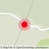
DEPARTURE: Col des Aravis.
Use the roadside parking provided for this purpose, so as not to hinder agricultural users.
ROUTE: From the parking of Col, take the track in direction LA ZORETTE (direction South). Take the path towards LA SOURCE DES ARAVIS, then PLANCHAUX. From there, cross in balcony until the CROIX DES FRÊTES. For the return, join the signpost PATH OF THE CROIX DES FRÊTES then Col des Aravis by the track following the directions PSAMO, LA TÊTE and LA ZORETTE.
POINTS OF INTEREST :
- Many alpine farms, with the possibility to buy cheese, butter ...
- The panoramas on the village of La Giettaz and the massif of Mont Blanc.
- Sport
The Cross of the Frêtes
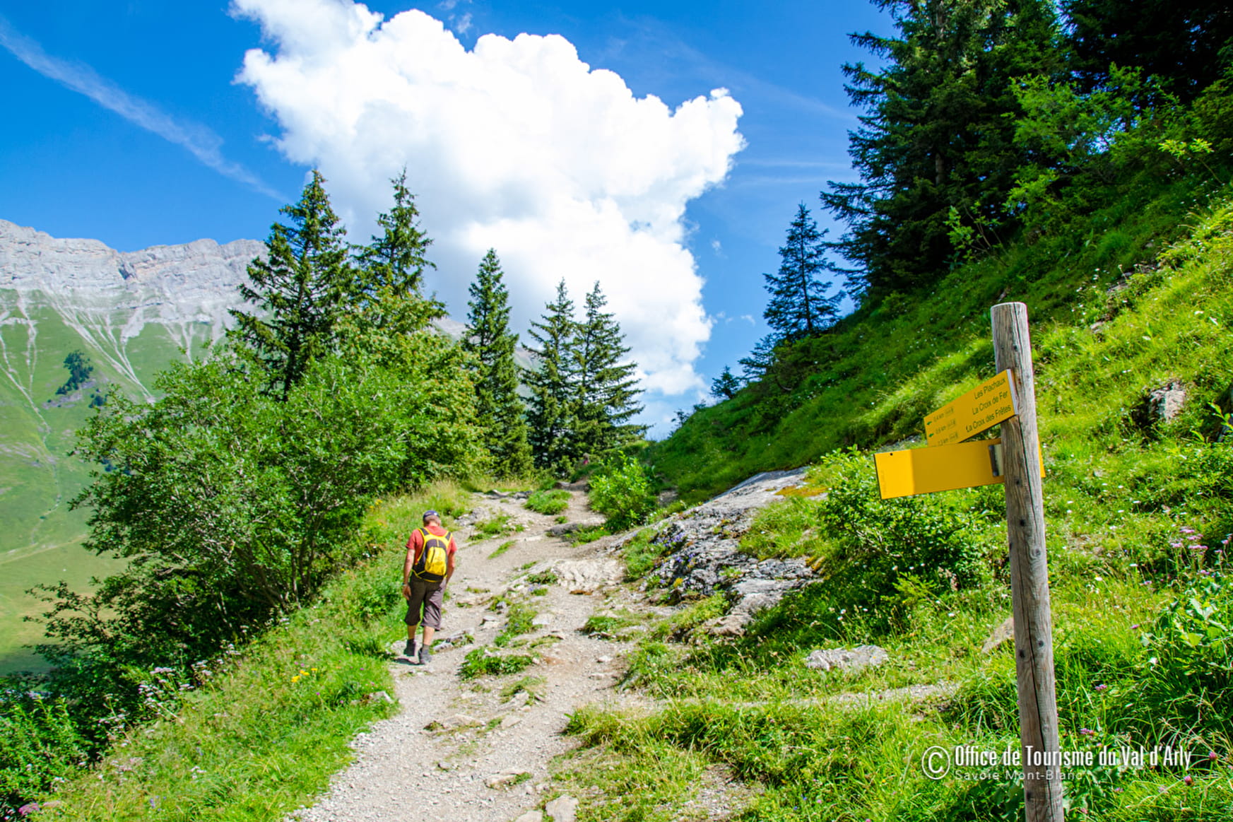
Superb path in balcony under the cliffs of the chain of Aravis and facing Mont Blanc.
Sport The Cross of the Frêtes La Giettaz
About

Signs
Marked with yellow signs.
Topoguides references
Walking and hiking map of the Val d'Arly for sale at 9 € or Topo Walks and Short hikes on sale at € 4 in the tourist offices.
1 4


Prices
Walking and hiking map of the Val d'Arly for sale at 9 € or Topo Walks and Short hikes on sale at € 4 in the tourist offices
Methods of payment accepted : Bank/credit card, Check, Cash
Reception
Dogs must be on a leash.
Period of practice
From 01/06 to 30/09.
Services
- Pets welcome


