This hike is almost accessible all year round, however we do not recommend it after heavy rains, use trekking poles, especially for the descent.
Useful information :
Car parks: at the beach (fee from june to september)
Bus (strongly recommended): line 60 Angon stop - route des vignes (in summer additional SIBRA lines)
Signs: Yellow arrows and directional signs
Walking shoes recommended especially for the falls
- Sport
The Angon loop towards Rovagny - the Nant d'Oy
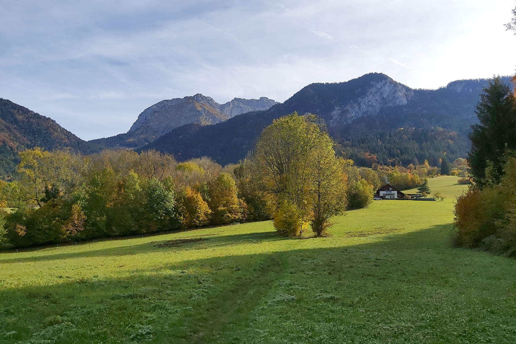
Nice walk with sublime panoramas of the Bornes massif. La Tournette sits at 2353 meters on the lake like a sleeping giant, the Bauges massif on the other side rivals in beauty and makes walkers want to conquer new heights! (some ideas for routes also offered on ViAnnecy)
Sport The Angon loop towards Rovagny - the Nant d'Oy Talloires-Montmin
About

Further informations
Stone, Ground, Grit
1 2


Prices
Free access.
Reception
Period of practice
All year round.
Subject to favorable snow and weather conditions.
Services
- Pets welcome
Contacts
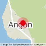
Access
Bus line 60 - parking nearby - all car parks in Talloires are chargeable from June to September

