

There's a short warm-up through the Tarines alpine pasture. In high-altitude grasslands, mischievous marmots play hide-and-seek and whistle at your approach. Turn into the tranquility of Grand Plan to prolong your journey. An even rockier landscape opens out ahead of you. Make your way through the dolines (sinkholes) and curious depressions that herald the Col de Sollières. Many switchbacks later, you'll conquer the final ridge and reach its summits. The chamois are watching you, clearly intrigued. The old barracks bear witness to the site's military history. Here, among the peaks, exhilaration takes hold of you as you follow a path that seems to connect heaven and earth. "Queen Meije," the Aiguilles d'Arves, and Barre des Écrins lie in the distance yet seem so close. Take a deep breath as you face the Vanoise Glaciers and the Grande Casse. Upon arrival at the Fort, magical panoramic views and a touch of heritage await you: a fitting reward for your ascent to 2,822 metres of altitude.
- Sport
Mont-Froid Fort
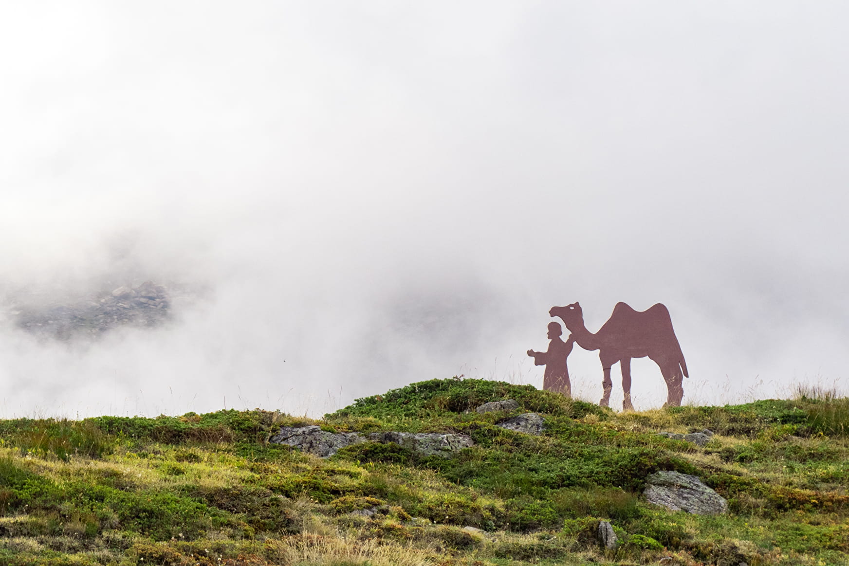
The tone is set as soon as you leave Col du Mont Cenis. You are about to sample the joys of vast high-altitude landscapes! Explore the wilderness between endless alpine meadows and rocky outcrops as you flirt with the high mountains.
About
Signs
Departmental signposting (PR)
Map references
Map and booklet "Haute Maurienne Vanoise. 103 walks and hikes - 38 trail trails. For all levels" (sold for €10 in Tourist Offices)
Topoguides references
Red route n°84
Further informations
Stone, Ground, Grit

To guide you in the field, consult the "step-by-step" directional diagram provided in pdf.
Prices
Free access.
Reception
Pets allowed on leash only.
Period of practice
From 01/07 to 01/10.
Subject to favorable snow and weather conditions.
- Pets welcome
- Restaurant
- Parking
Contacts
Access
Getting there by car: from the Col du Mont-Cenis, take the tarmac road 200m down towards the Col du Petit Mont-Cenis. Park in the Petit Mont-Cenis refuge parking lot.
