- Sport
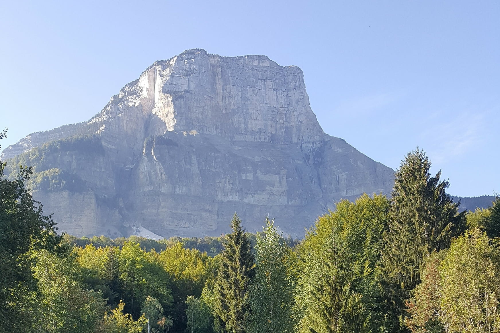
Sentier des Charbonniers
Savoie Mont Blanc's choice
Sport Sentier des Charbonniers Chapareillan
About

1 3


Prices
Free access.
Reception
Period of practice
All year round.
Services
- Pets welcome
- Car park
- Free car park


