• Sport

Sentier botanique des Plagnes

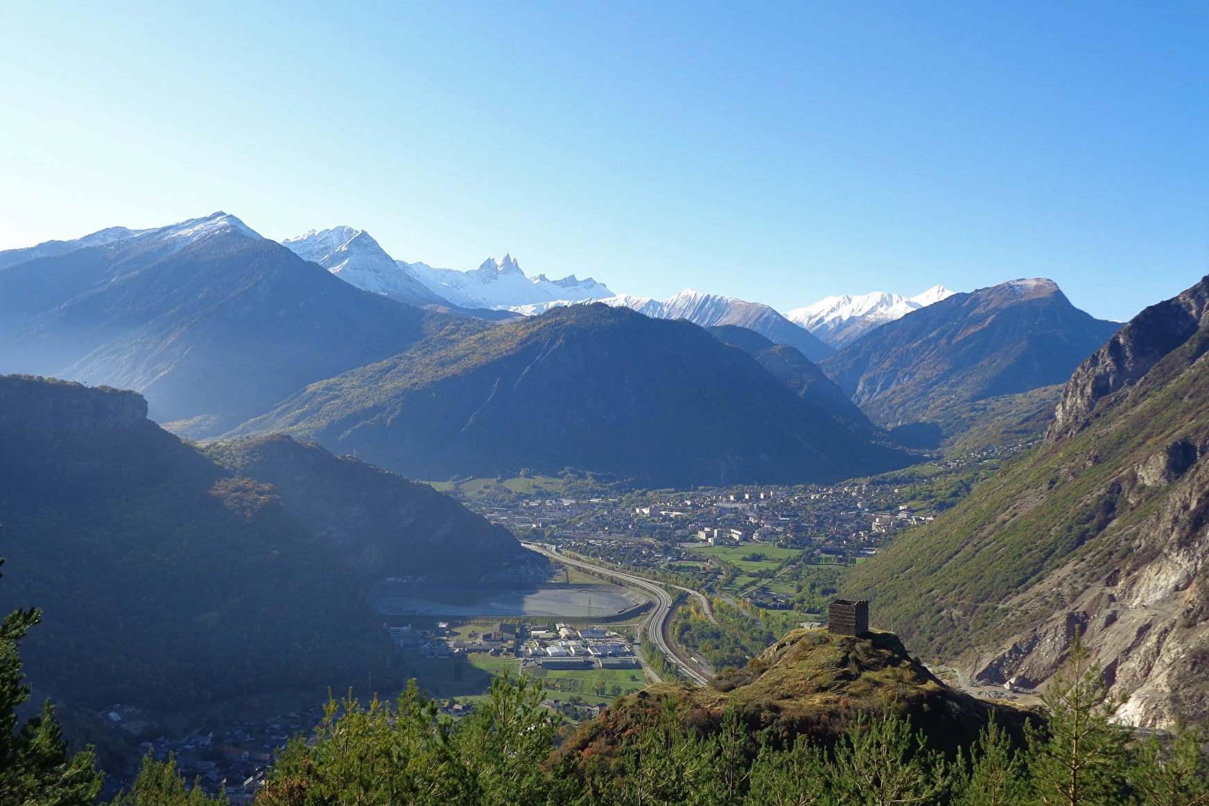
Sport Sentier botanique des Plagnes La Tour-en-Maurienne

About

Departing from La Tour-en-Maurienne (73300)
Average length : 02h05
Total elevation gain : 270m
Vertical drop : 270m
Distance : 5km
Signed walking trail
Animals allowed

Loop
Total elevation gain : 270m
Altitude max : 1050m
Vertical drop : 270m

Further informations

Rock, Ground

Prices

Free access.

Reception

Animals allowed
Languages spoken : English, French

Period of practice

From 15/05 to 15/10.

Subject to favorable weather.

Services
  • Pets welcome
Equipments
  • Car park
  • Free car park

Access

Chef-lieu - Parking de la Mairie Le Châtel 73300 La Tour-en-Maurienne
Departing from : La Tour-en-Maurienne (73300)
Latitude : 45.306263 - Longitude : 6.36014
Information update on 24/11/2022 by Montagnicimes Office de tourisme Intercommunal