Lac de la Rosière Car Park
By shuttle bus (line H), go to the end of the line and get off at the “Lac de la Rosière” stop.
By car, turn left at the first roundabout as you come into Courchevel Moriond, take several sharp bends heading towards Belvédère and take “Route de la Rosière” going downhill on the left, on the same level as the hiking symbol, just after Le Zenith hotel.
It can sometimes be difficult to park at La Rosière, so we recommend that you park at the Cimes Blanches (free covered car park in summer) car park in Courchevel Moriond, and take a shuttle bus that will drop you right at the site entrance.
0/ Courchevel Moriond – la Rosière lake car park (1 537 m)
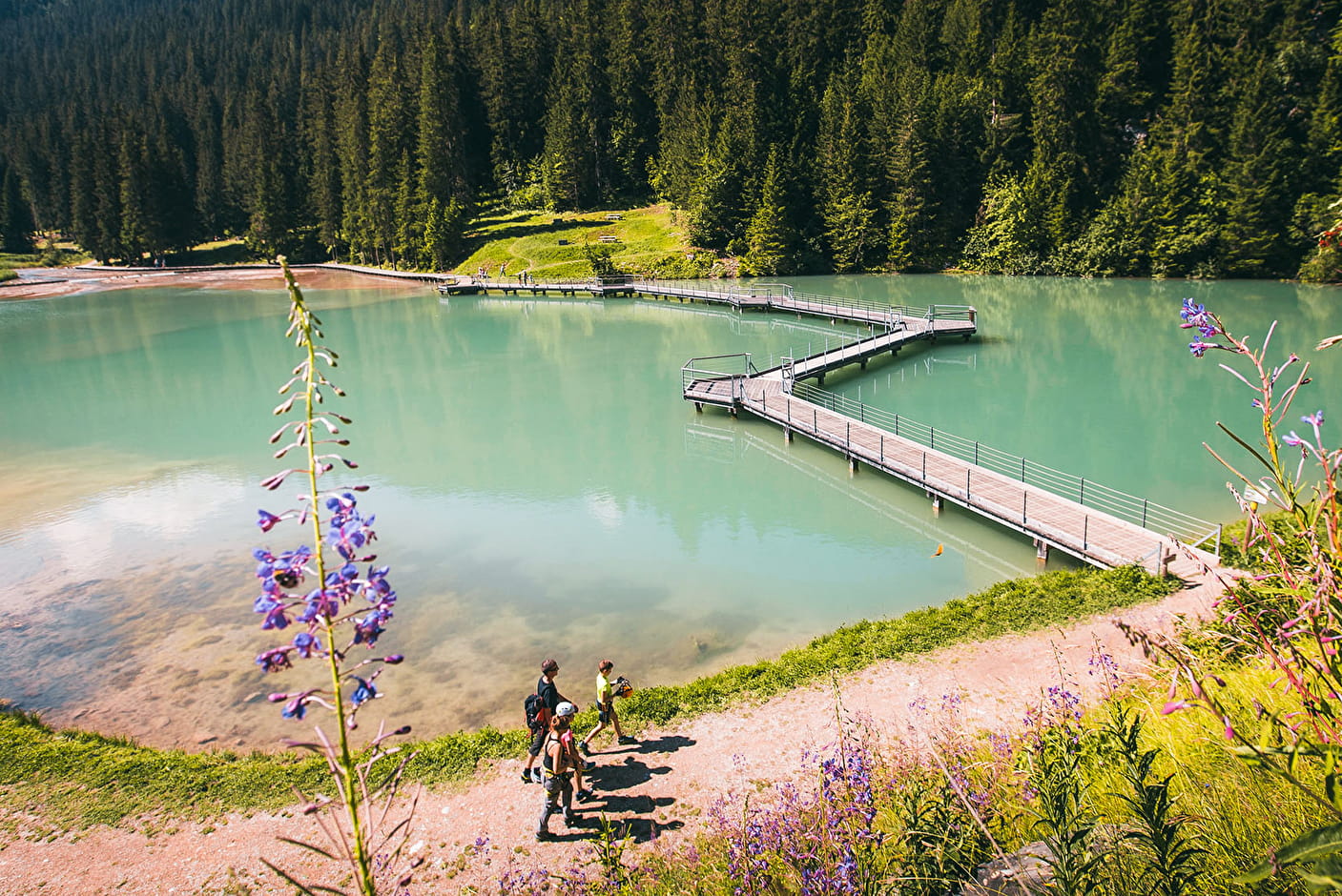
1/ Take the direction of the Rosière lake
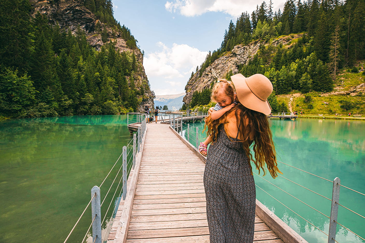
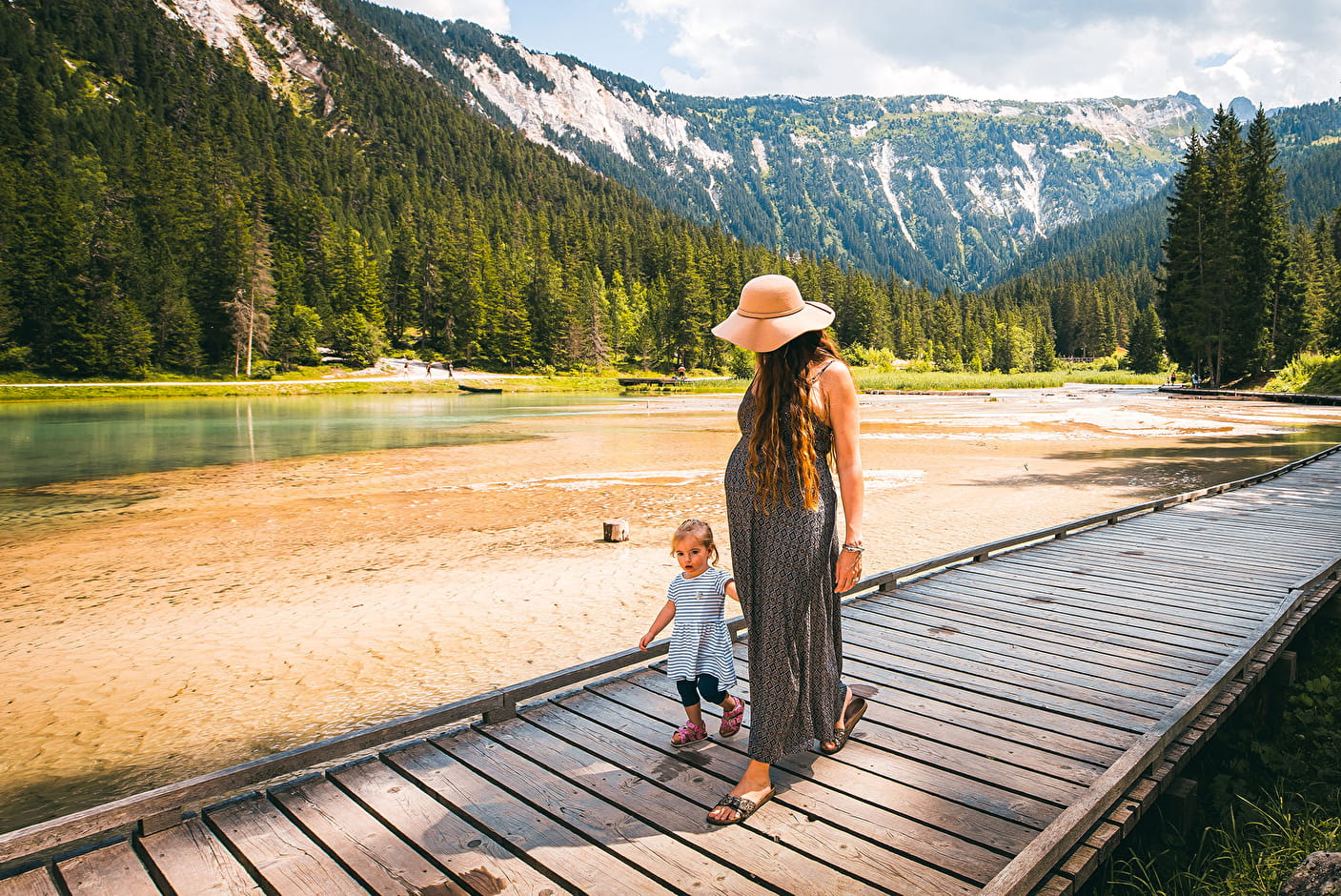
2/ After the cabin, cross the bridge
3/ Take the track on the right to the nature trail.
4/ The path climbs through a magnificent pine forest.
5/ Follow the path on the right back to the valley
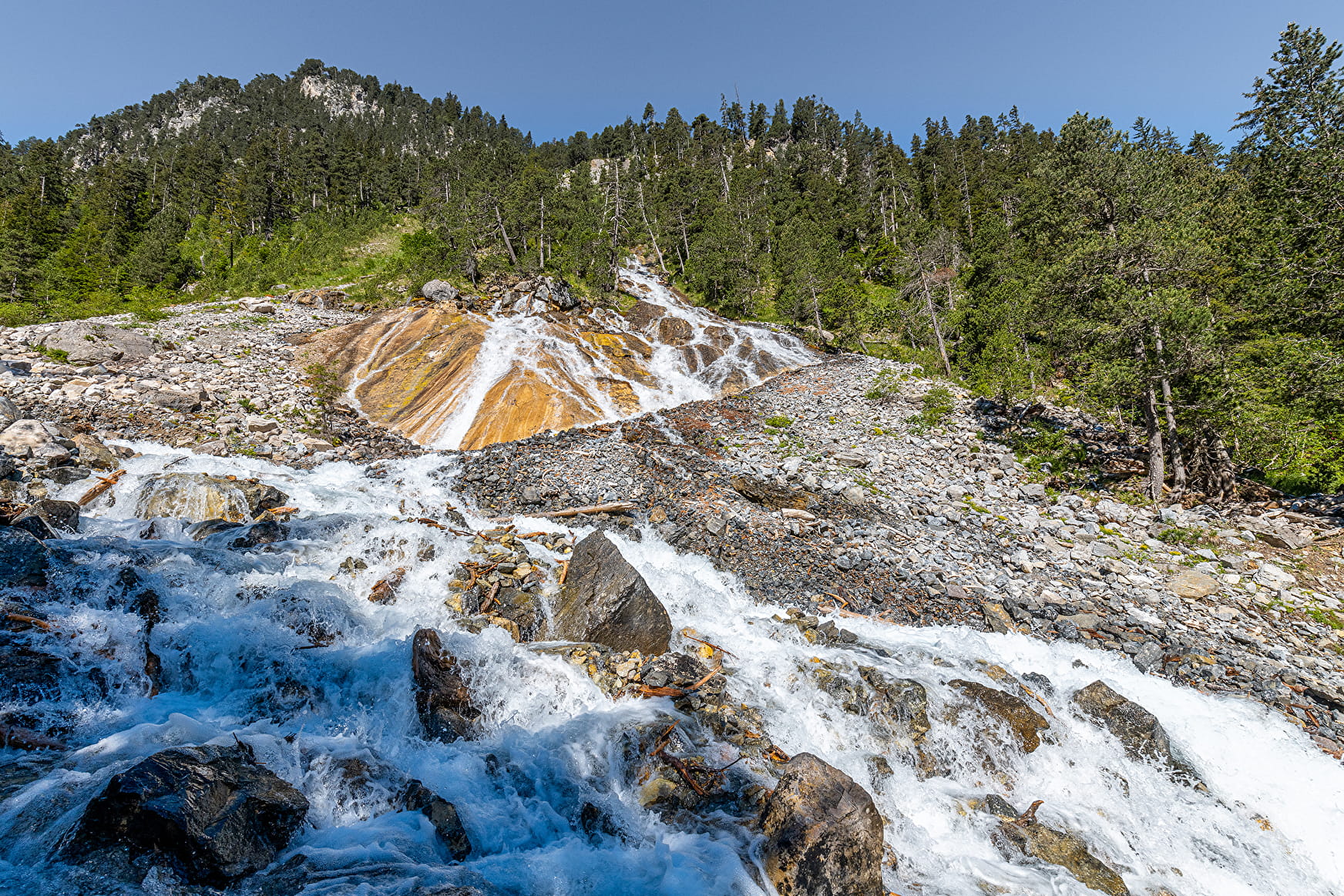
6/ Once back on the track, go up the valley on the left towards the Cascade des Poux.
7/ You are at the Poux waterfall (1645 m)
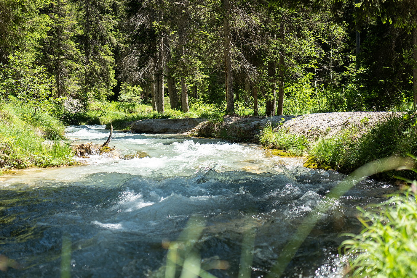
8/ The return leg follows the stream to the lake.
Type of itinerary : circuit. Maps : IGN Top 25 n° 3534 OT Les Trois Vallées.
- Sport
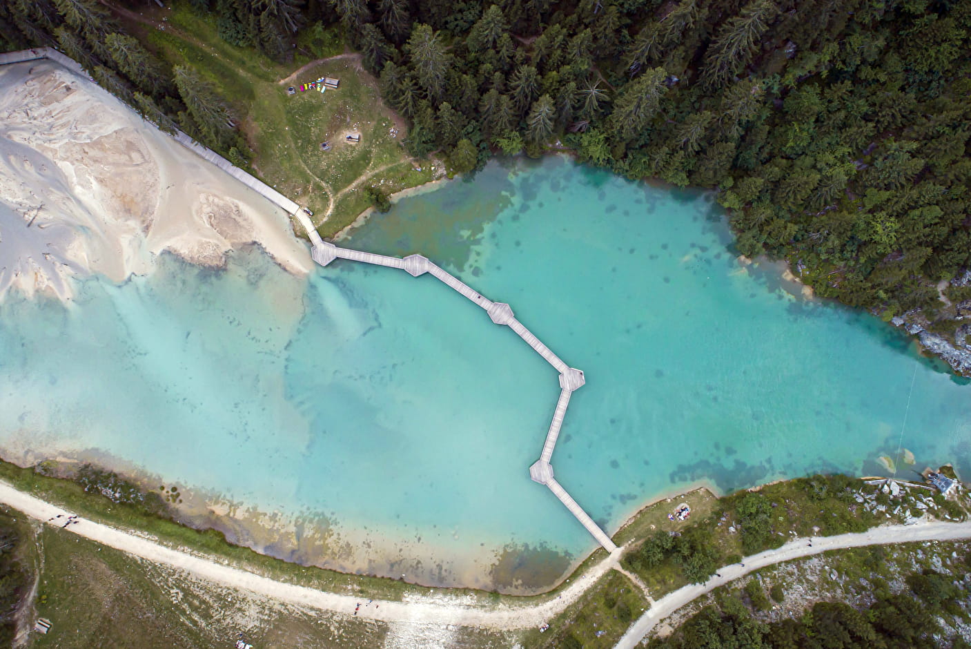
Torrent et lac de la Rosière
Savoie Mont Blanc's choice
A walk amongst nature at the foot of the Dent du Villard with a footbridge across the lake – add it to your holiday list. It also includes the botanical trail.
Sport Torrent et lac de la Rosière Courchevel
About

Further informations
Rock, Stone, Ground, Grit
1 11


Reception
Period of practice
From 15/04 to 31/10.
Services
- Pets welcome