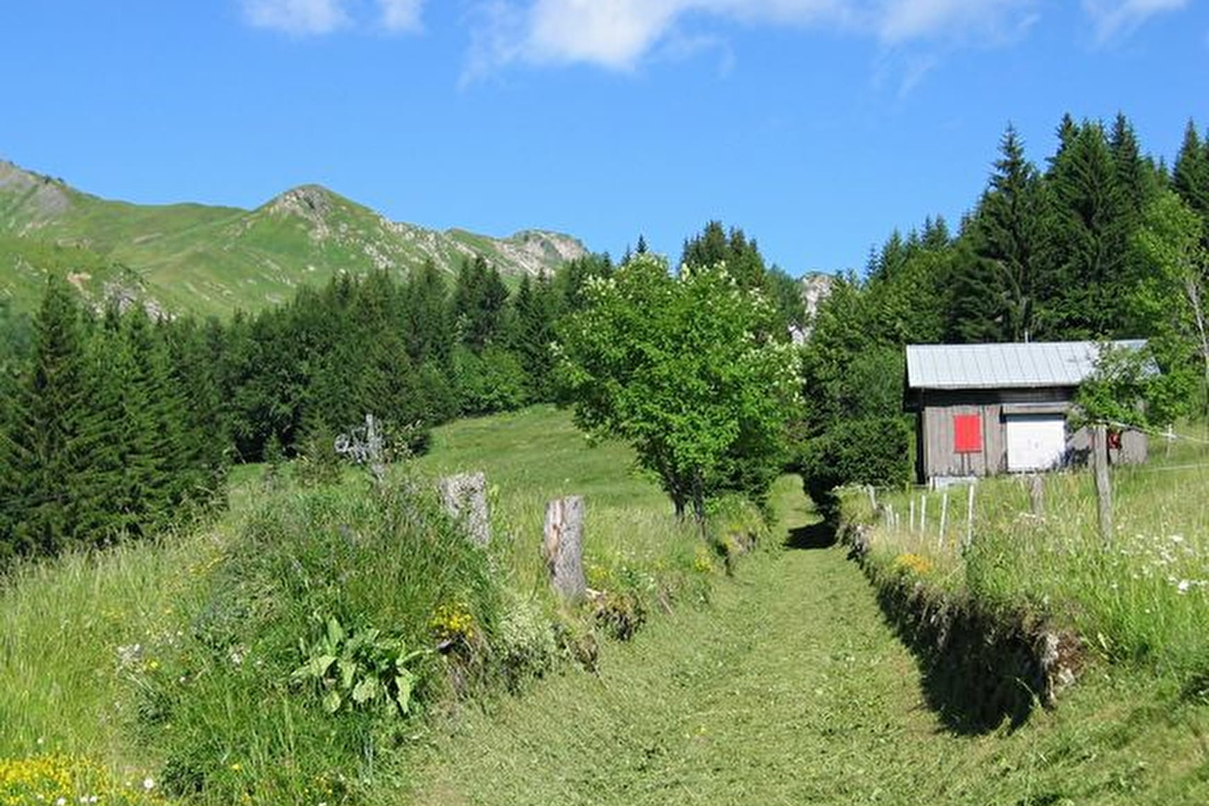
Along this itinerary, the landscapes are varied, between the villages, forests and pastures, as well as some magnificent viewpoints from the heights of Taninges and Praz de Lys, over the Mont-Blanc and Chablais mountains.
- Sport
Praz de Lys up the stone path
Savoie Mont Blanc's choice
These stones were laid according to Roman techniques and the path was first used in the Middle Ages by the monks from the Chartreuse de Mélan to access Praz de Lys pastures 1,000m further up. For a long time, this was the only access to Praz de Lys.
Sport Praz de Lys up the stone path Taninges
About

Further informations
Stone, Ground, Hard coating (tar, cement, flooring)
1 6


From the Place du Château, follow the Montée du Sapeur (“Praz de Lys up the stone path”) on a small tarmac road and then carry on up a footpath. The stone path leads through the forest before reaching Pontet, at an altitude of 1,300m.
1/ The path then continues across the Praz de Lys pastures and you have the choice between heading towards Grand Planey and the Pic de Marcelly, or the centre of the resort.
2/ It is possible to walk up to Praz de Lys and come back down the same way.
Prices
Free access.
Reception
Period of practice
From 15/05 to 15/11.
Subject to favorable snow and weather conditions.
Services
- Pets welcome
- Car park
- Public WC


