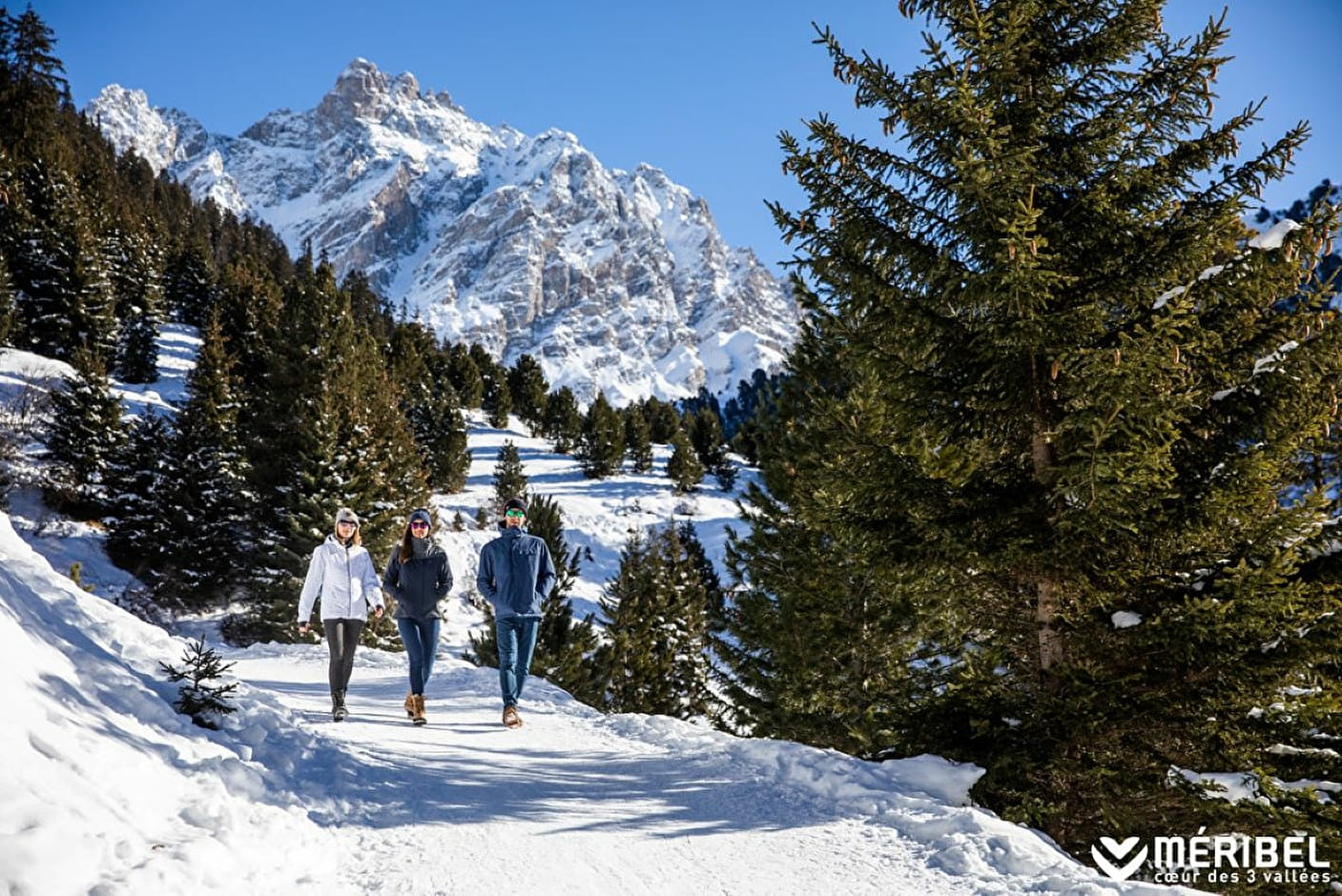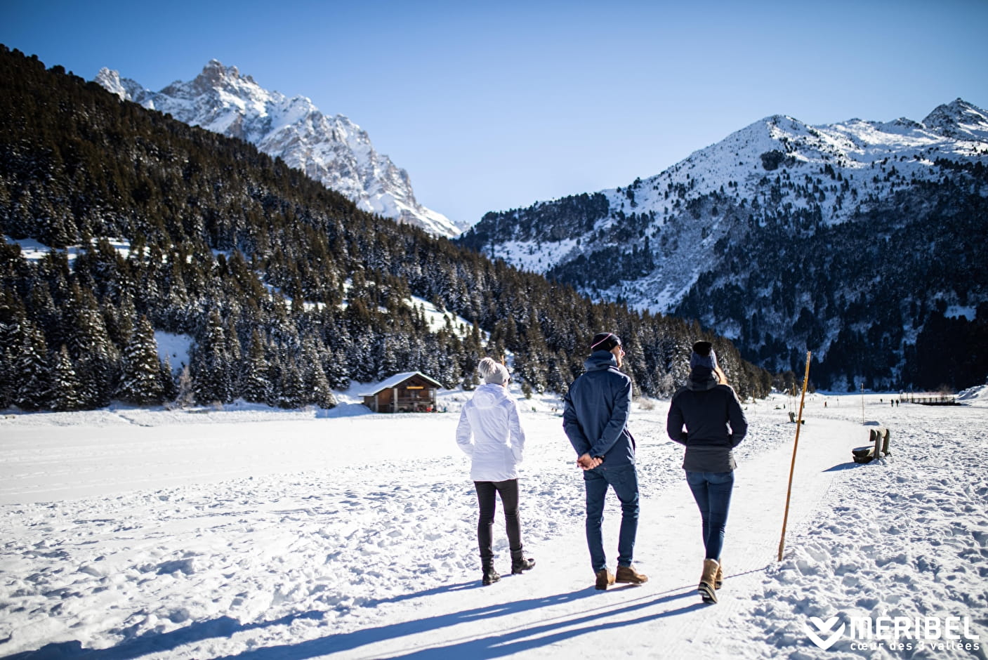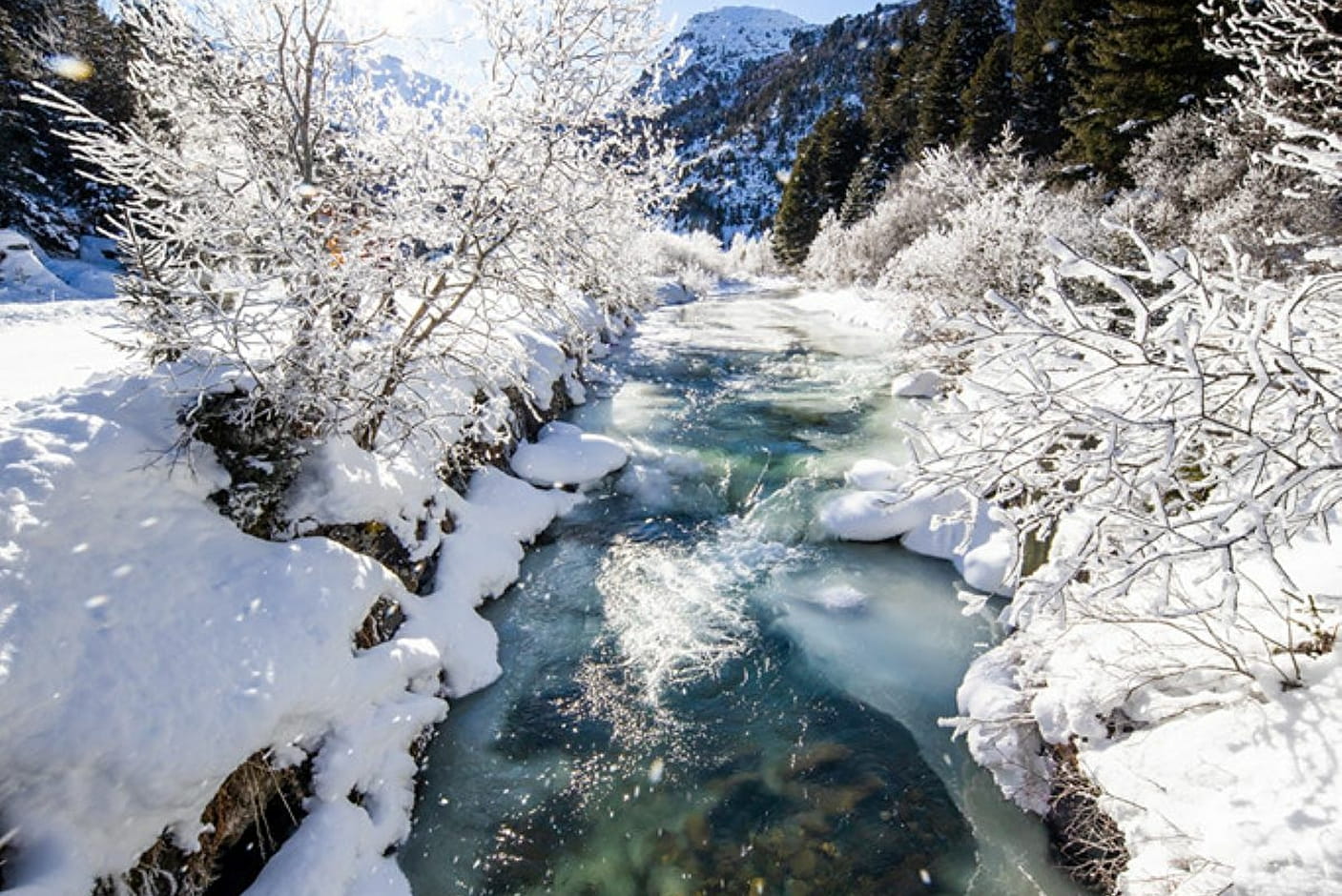
Near the lake, which is covered in winter, the Cembro and Arolla pines form one of the most beautiful cembra forests in the Alps. The lake is also rich in wildlife, including golden eagles and black grouse.
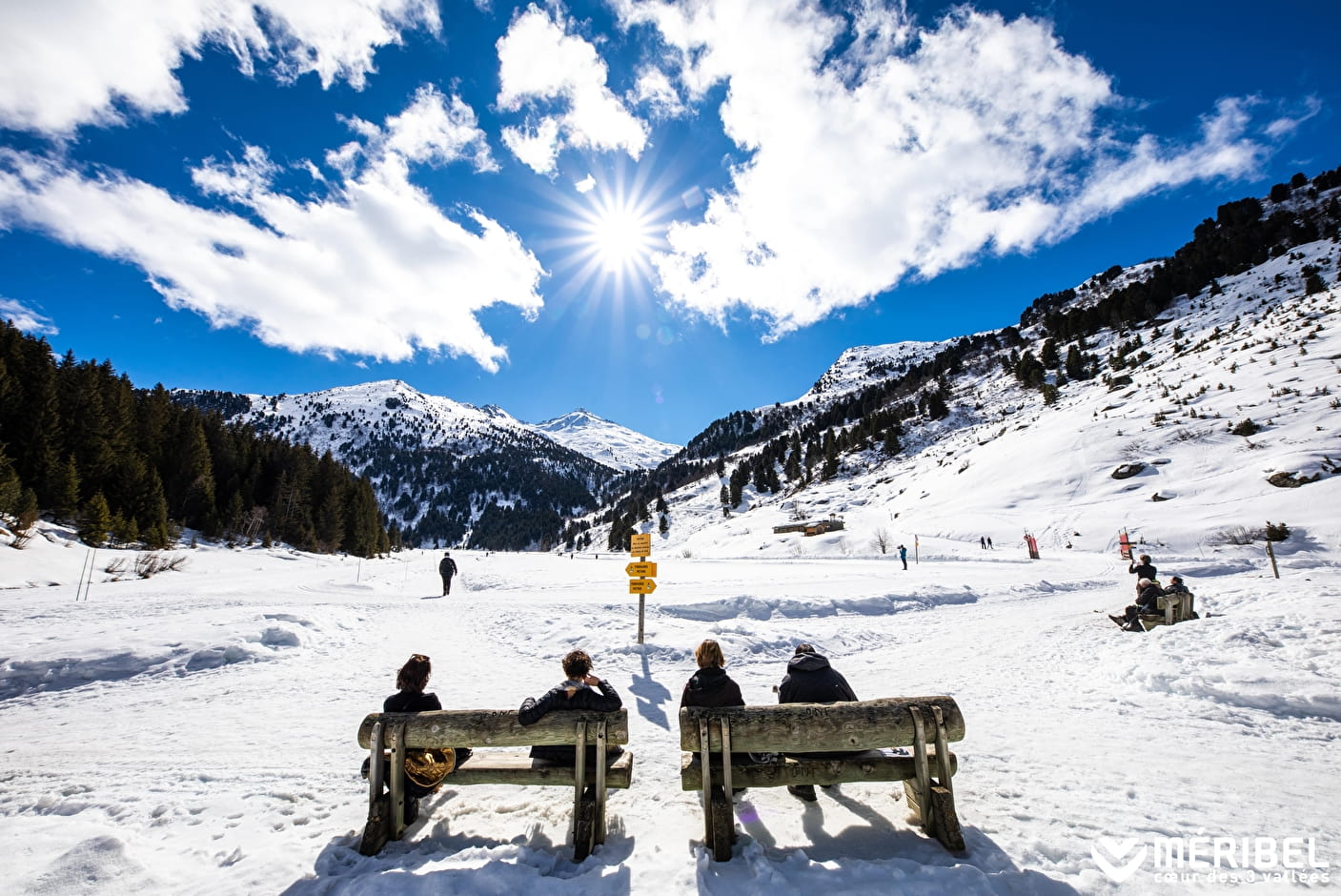
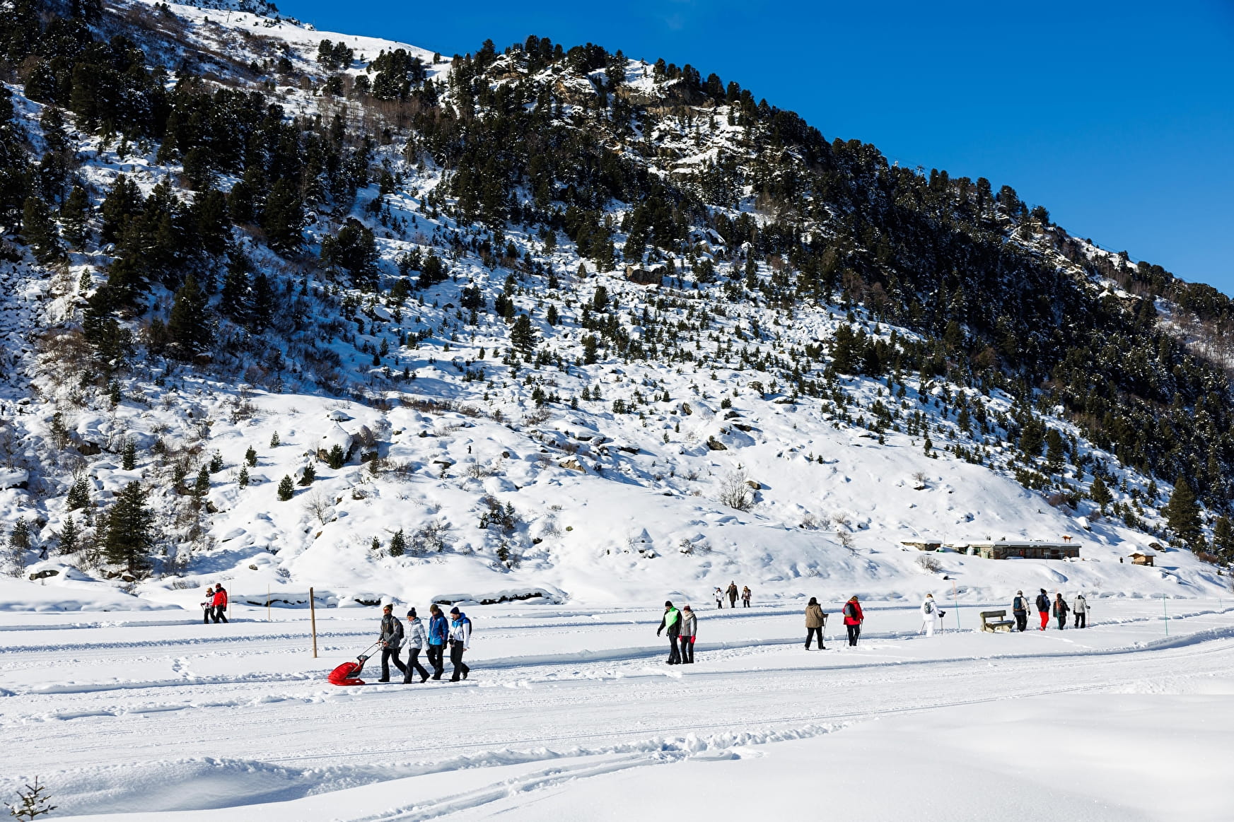
A well-groomed path allows you to walk around the lake or even to the end of the Tuéda plateau.
At the Maison de la réserve naturelle (nature reserve centre) on the left-hand side of the lake, you can discover all the little secrets of this natural environment. You can eat at the restaurant beneath the Maison de la Réserve.
- Sport
Winter trail "Plan de Tueda Nature Reserve"
Path closed in case of avalanche risk or during avalanche blasting - check with
the Service des Pistes or the Tourist Office
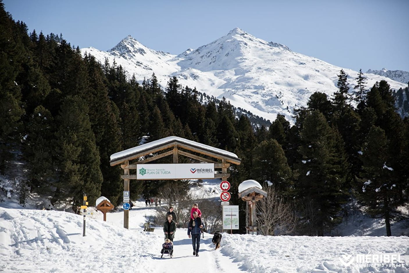
Starting from the Châtelet bus stop or the tourist office, this is a very easy walk around Lac de Tueda in the magnificent nature reserve of the same name. The Arolla pine trees here form one of the most beautiful pine forests in the Alps. This nature reserve, which opened in 1990, has a very rich natural heritage
Sport Winter trail "Plan de Tueda Nature Reserve" Méribel
About

Signs
Marked trail with yellow signs and snowman and then signs delimiting pedestrian or cross-country ski trails Closed in case of avalanche risk and during the PIDA (avalanche trigger) State of maintenance and the opening/closing of footpaths and snowshoes is updated daily on www.meribel.net
Map references
Méribel winter footpath map
Further informations
Groomed trail
1 7


Reception
Toilets and baby changing facilities at the entrance to the Tueda reserve
Trail marked with yellow signposts and markers for pedestrians and cross-country skiers
Trail closed in case of avalanche risk and during PIDA (avalanche triggering plan)
The state of maintenance and the opening/closing of the footpaths and snowshoe trails is reported daily on www.meribel.net
Dogs must be kept on a lead.
Period of practice
Throughout the year : open daily.
Services
- Pets welcome
- Restaurant
- Parking
- Public WC
- Defibrillator
- Picnic area
Contacts
Access
Start from Méribel-Mottaret tourist Office or from Châtelet bus Stop or from car park Plan Ravet Méribel-Mottaret
In order to help you : take the "Méribel resort map" starting points are indicated more precisely by orange arrows as well as the winter footpath map
- Reserved space 330 cm wide < 100 m from the site
- Even flooring with no obstacles