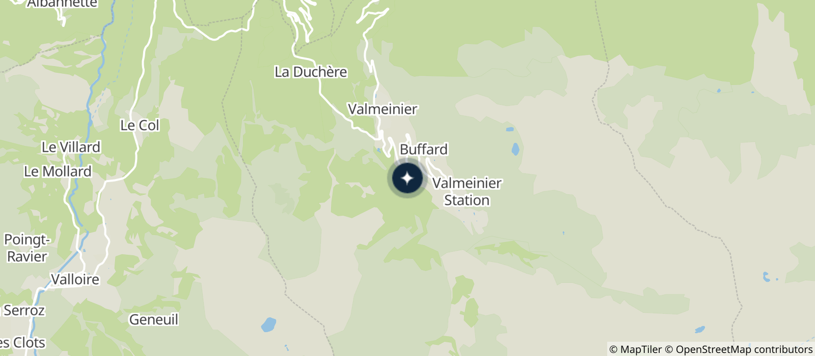
Park at the hamlet of Combaz, between Valmeinier 1500 and 1800, at the start of the path.
(D/A) Go towards the bottom of Valmeinier. Reach the Inversins chairlift.
(1) Follow the path on the right along the Névache river. At the crossroads after the car park, continue along the river. Go along the chalets d'Alpages to reach the alpages of La Sausse.
(2) Turn left onto the path leading to the Notre Dame des Neiges Chapel.
(3) At the chapel, contemplate the glacial cirque of Thabor. Join the footbridge over the Ruisseau des Perches.
(2) Continue in a south-easterly direction, skirting Lake Caspi. Continue to reach the Pierre du Déjeuner.
(4) Continue towards the Thabor. At the foot of the massif, take a path that goes up a scree that is a bit unstable but above all very steep. Reach the Col de la Chapelle.
(5) Go around the Pointe des Angelières and find the GR®57 under the summit of the Thabor.
(6) Turn left to reach the summit and its chapel which can be used as a refuge.
(7) Take the same path to reach the GR® junction.
(6) Start the descent, go along the 3 crosses before reaching the Col des Méandes.
(8) Take the left branch of the GR®57. Start a good descent to reach the Lac du Peyron.
(9) Take a wide right-hand bend and start a short climb to reach the Col de la Vallée Étroite, a major GR® and GRP® junction. Here the GR®5 linking Modane to the Vallée Étroite arrives, the GR®57 goes right towards the Vallée Étroite and the GRP® Tour du Mont Thabor goes left towards the Refuge de la Vallée Étroite.
(10) Turn left to reach the Refuge.
(11) Continue West, passing between the Ste Marguerite and Long lakes before starting the good climb to the Col des Bataillières.
(12) Go down to the eponymous lake.
(13) Make a big yaw at the end of the lake and by a constant north direction find the Refuge des Marches.
(14) Continue on the GRP® du Tour du Thabor to start the climb ending at the Col des Marches.
(15) Start the last descent, dry at the beginning then easier. Reach the bottom of the Inversins chairlift.
(16) Continue the descent to the Jeux chairlift overlooking Valmeinier 1800. Turn left, reach Valmeinier 1800, turn left again to find the first crossroads at Désert d'en Haut.
Turn right to return to the start (D/A)
- Sport
Petit tour du Mont Thabor
A hike full of kilometres, both in length and in height difference!
Enjoy a spectacular 360° view of Mont Thabor between Vanoise and Ecrins.
About

Prices
Free of charge.
Reception
This circuit is described in its entirety over 2 days and for the less experienced it is recommended to do it over 3 days. For this reason, the halts can be made in bivouac, on the edge of the lakes for example, or for more comfort at the refuges of Mont Thabor and Les Marches.
Multiple water points except on Mont Thabor.
Possibility of refuge at the Chapelle du Thabor (3150m), Mont Thabor refuge, Marches refuge (not free...).
Always be careful and considerate when hiking.
Period of practice
From 15/06 to 15/09.
Subject to snow conditions.
Subject to favorable weather.
Contacts
Access


