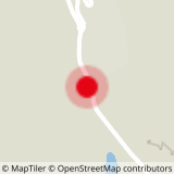
Place of departure: Les Menuires - La Masse Gondola
Walking map (available in the different Tourist Offices) : path n°6
Be careful: do not walk in the cross country skiing tracks.
- Sport
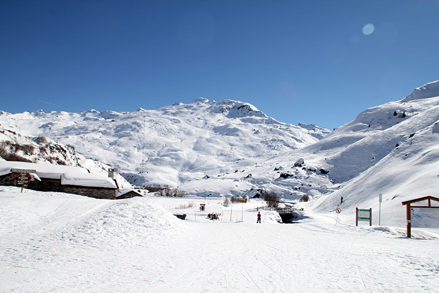
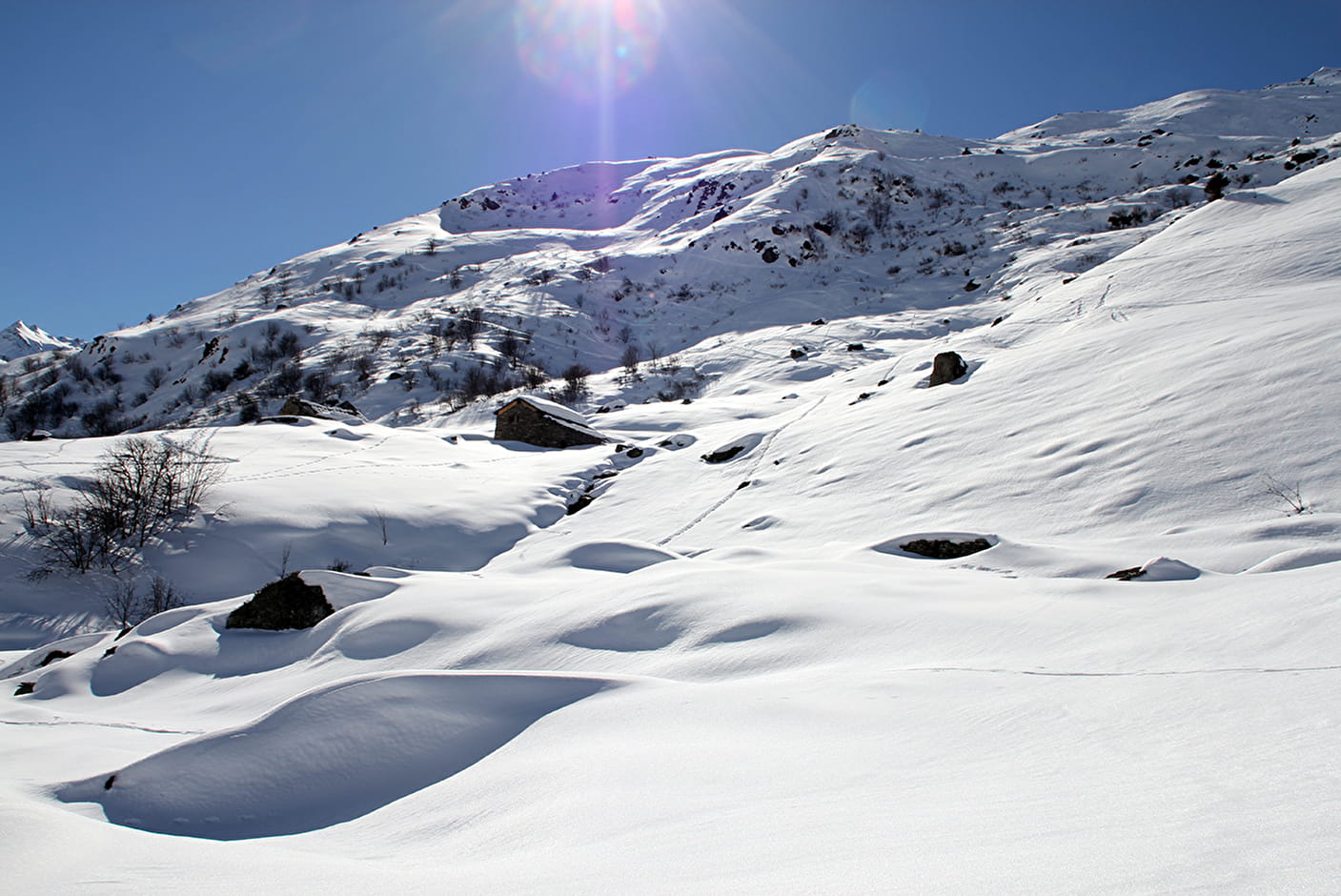
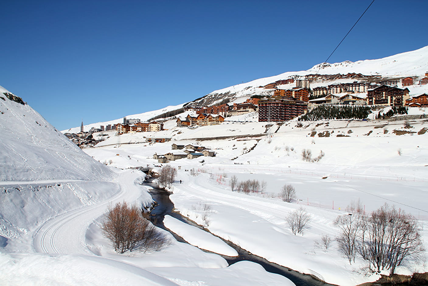
Pedestrian circuits : "Le Plan de l'Eau" path
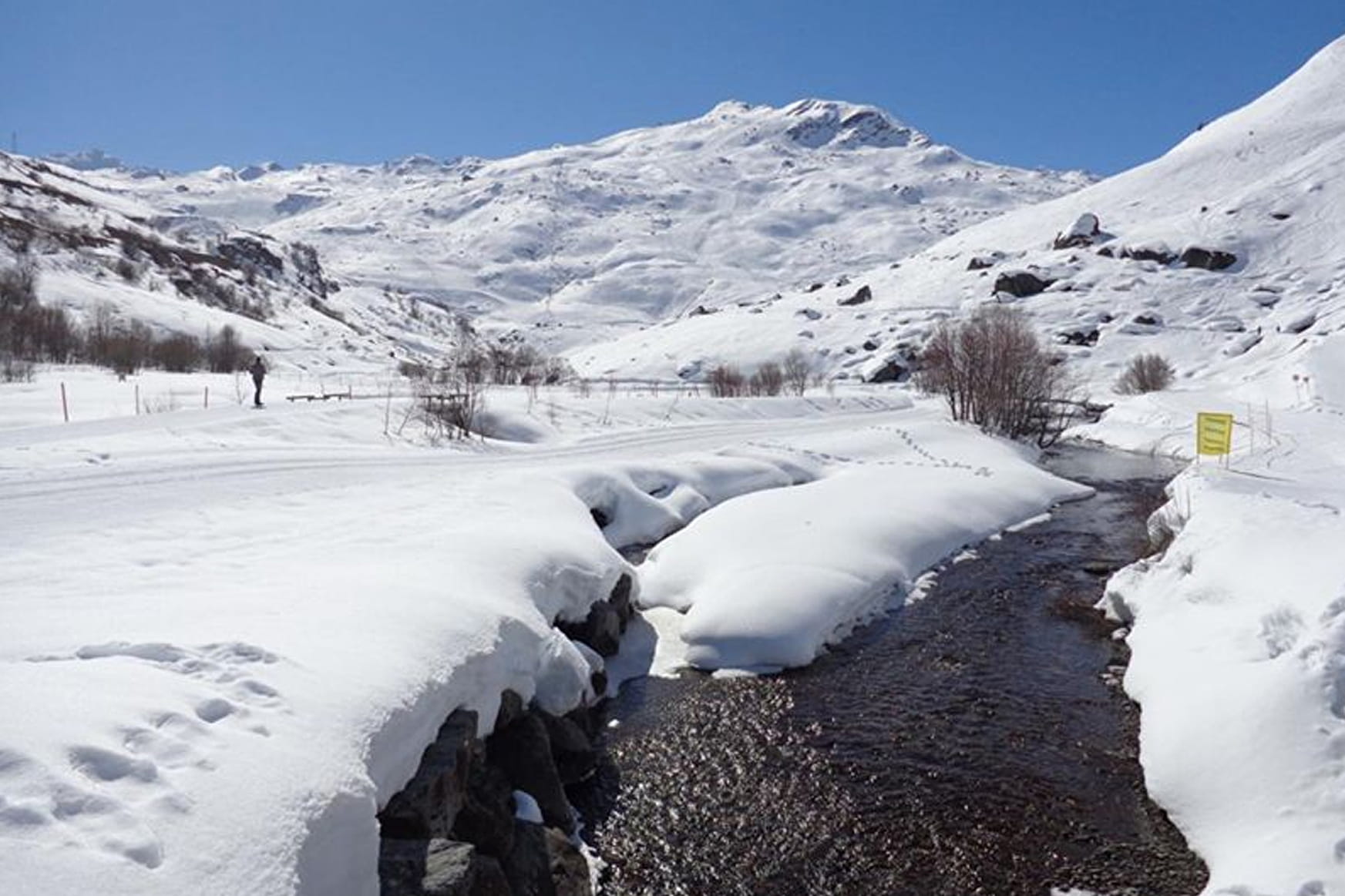
Running parallel to the cross country piste, round and about the Plan de l'Eau at Les Bruyères.
Sport Pedestrian circuits : "Le Plan de l'Eau" path Les Menuires
About

1 6


Prices
Free access.
Reception
Dog must be kept on a leash
Period of practice
From 10/12 to 21/04.
Services
- Pets welcome
- Restaurant
- Public WC