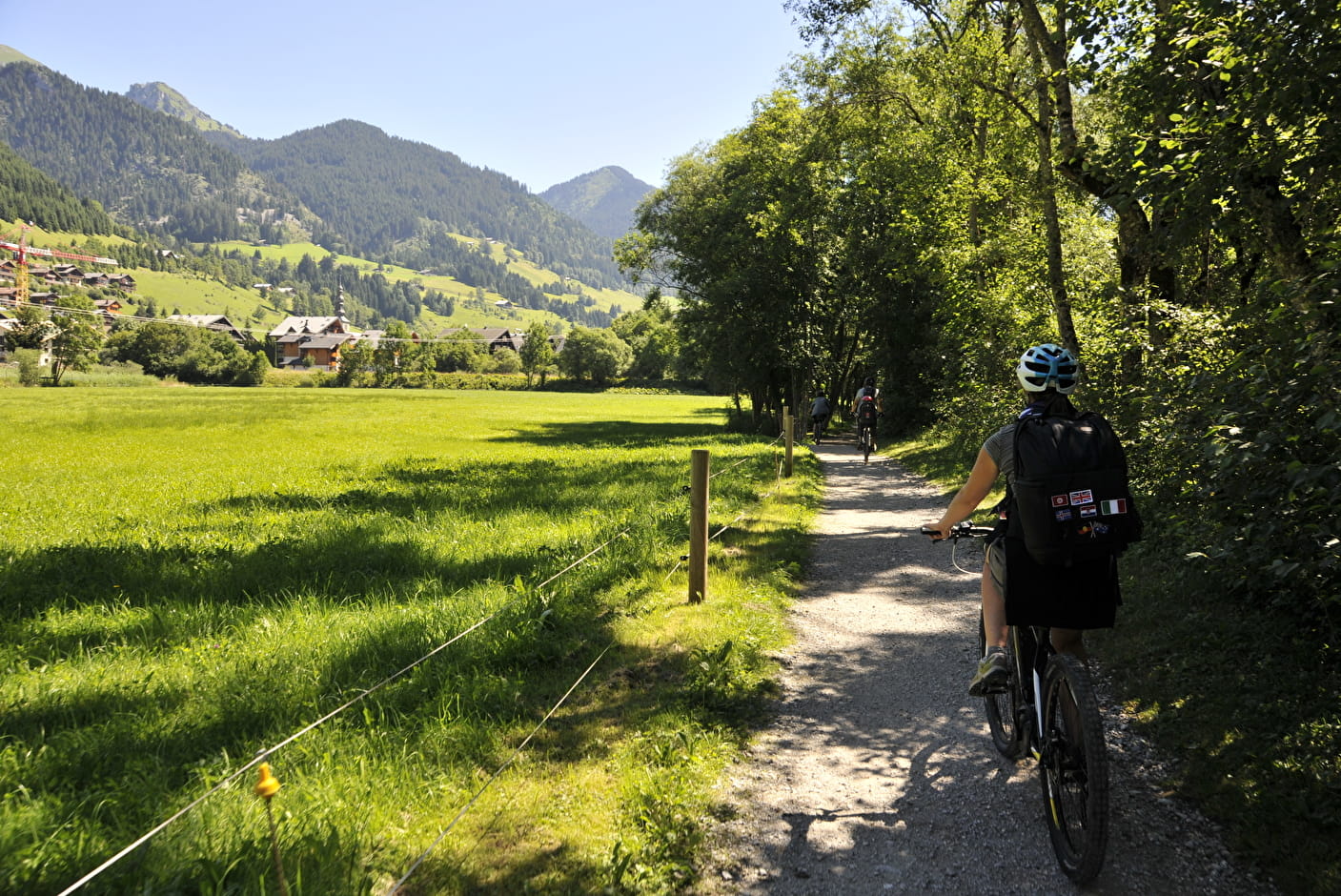
This route is reserved for walkers and cyclists.
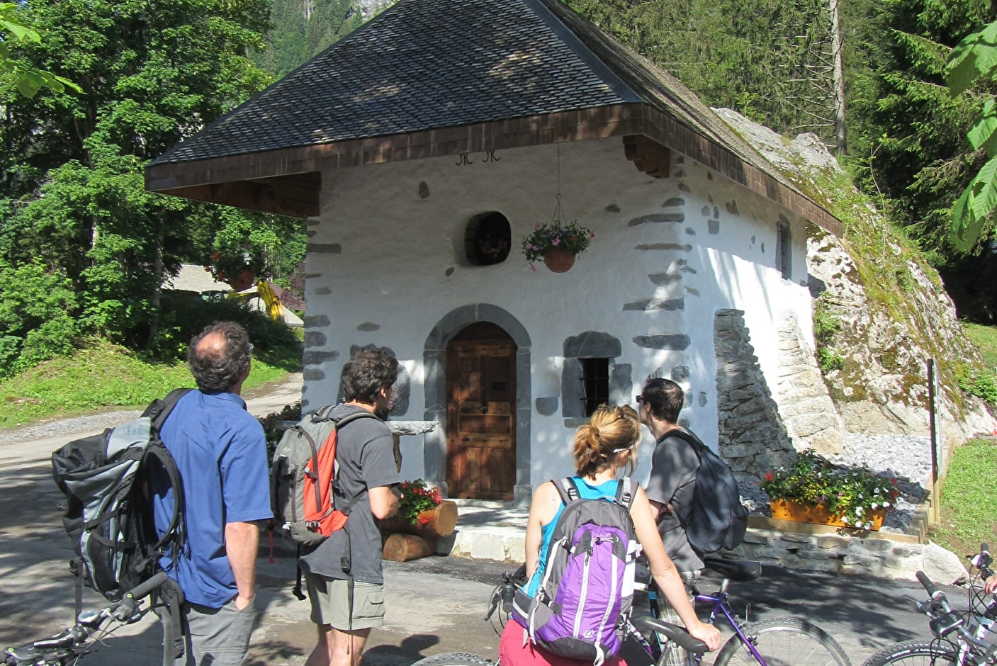
Starting from Abondance, you will follow the Dranse river through the hamlet of Richebourg. You'll pass close to the village center of La Chapelle d'Abondance, where you can take a gourmet break.
Continue along the river, below the village of Châtel, before reaching Le Linga and Tré-les-Pierres.
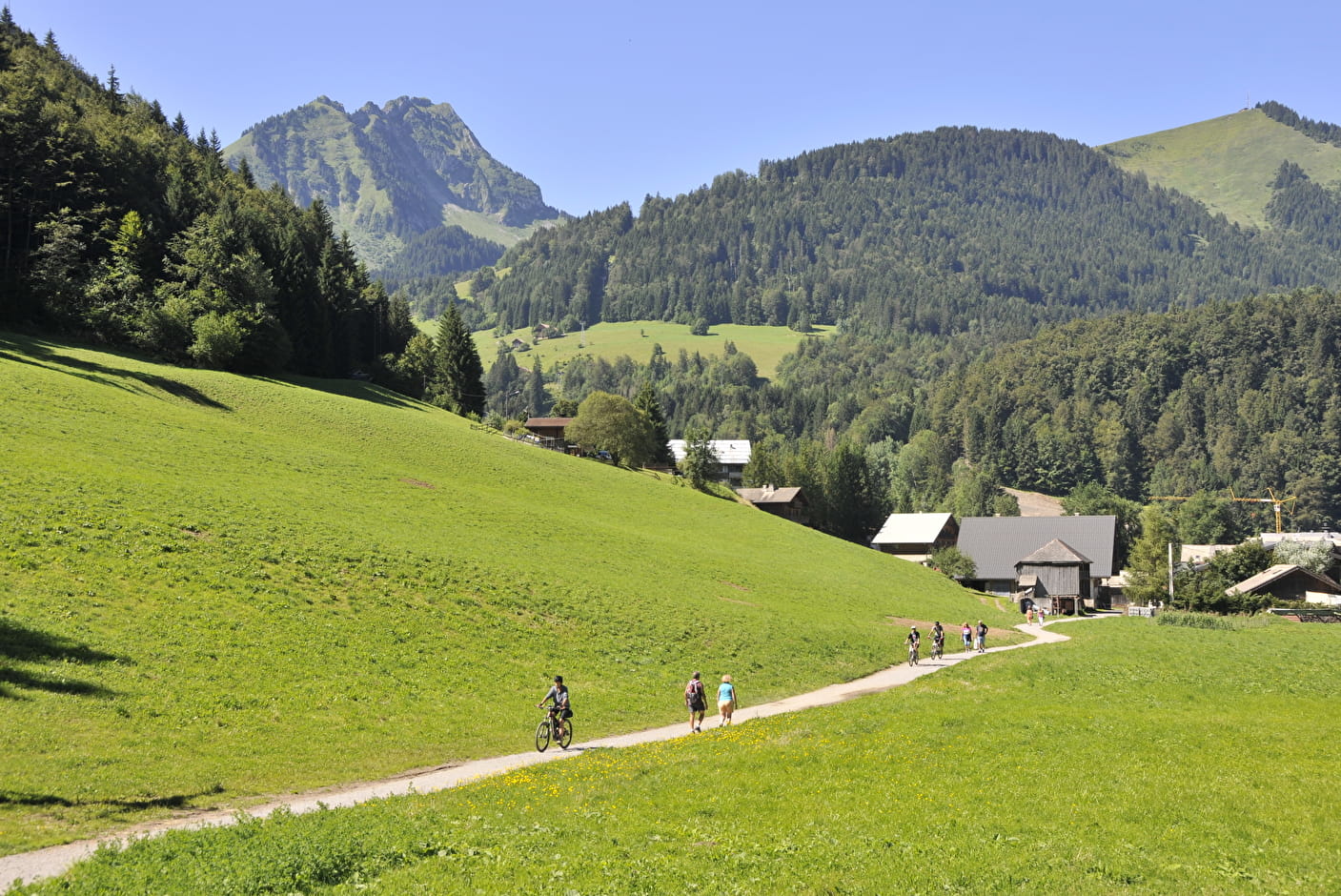
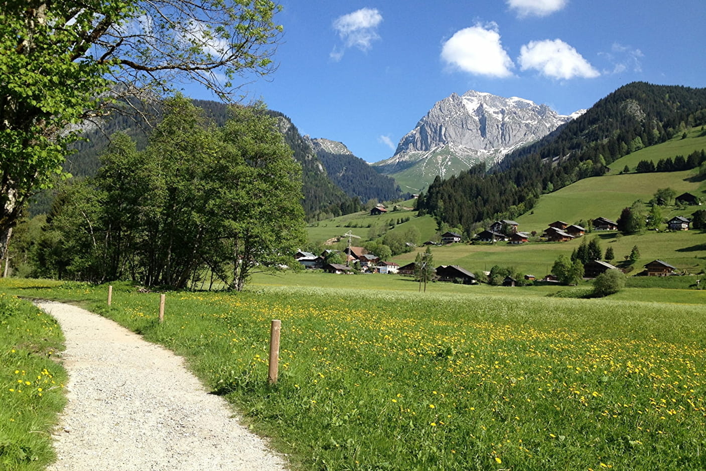
With little change in altitude, you can walk along the river from the hamlets on part of the trail, cross ecologically interesting environments, take in the riverside scenery, discover the local heritage... in short, see the Vallée d'Abondance in a different light.
During the summer school vacations, you can return to Abondance on the C line bus, which serves several stops in the valley. This shuttle runs every day at set times and accepts mountain bikes.
- Sport
Path along the banks of the Dranse from Abondance to Châtel
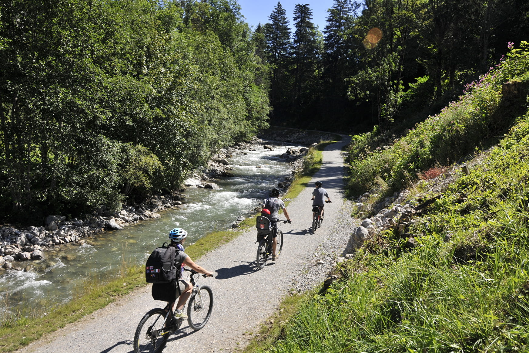
20 km of riverside walks, from the center of the village of Abondance to the hamlet of Très-les-Pierres in Châtel. The trail is easy to walk and accessible to all: families, athletes, children, the elderly and strollers.
About

Signs
Departmental markings called P.D.I.P.R. on beige metal panels with green lettering.
Map references
Portes du Soleil hiking map in France and Switzerland TOP 25 N°3528 ET Morzine Massif du Chablais Les Portes du Soleil
Topoguides references
Free leaflet available from tourist offices in the Vallée d'Abondance.
Further informations
Stone, Ground, Grit


Times and distances for pedestrians:
1/ Abondance "Village" 1h35 / 6.3km > La Chapelle d'Abondance "Pont de l'Ariot" (Ariot Bridge)
2/ La Chapelle d'Abondance "Pont de l'Ariot" 2h / 7.4km > Châtel "Le Linga
3/ Châtel "Le Linga" 35 minutes / 2.4km > Châtel "L'Envers
4/ MTB-VTC :
15km downhill MTB-VTT route, departure Châtel "Très les Pierres", arrival Abondance "Village".
Round-trip MTB-VTT-e-bike route 20.6 km, departure Abondance "Village", half-turn "Le Chon" at La Chapelle d'Abondance.
Uphill mountain-biking route 13 km easy and 4.1 km difficult. From Abondance "Village" > easy to Châtel "Le Linga" then difficult to "L'Envers".
Prices
Free access.
Reception
The section in Châtel from L'Envers to Pré La Joux is open depending on weather conditions (green/red light on site).
Period of practice
From 01/05 to 19/11.
Accessible outside the snow season and subject to weather conditions. Please check with the Tourist Office beforehand for current access conditions. Recommended season: spring - summer - autumn.
- Pets welcome
- Parking