- Sport
Parcours marche nordique Ternier boucle rouge
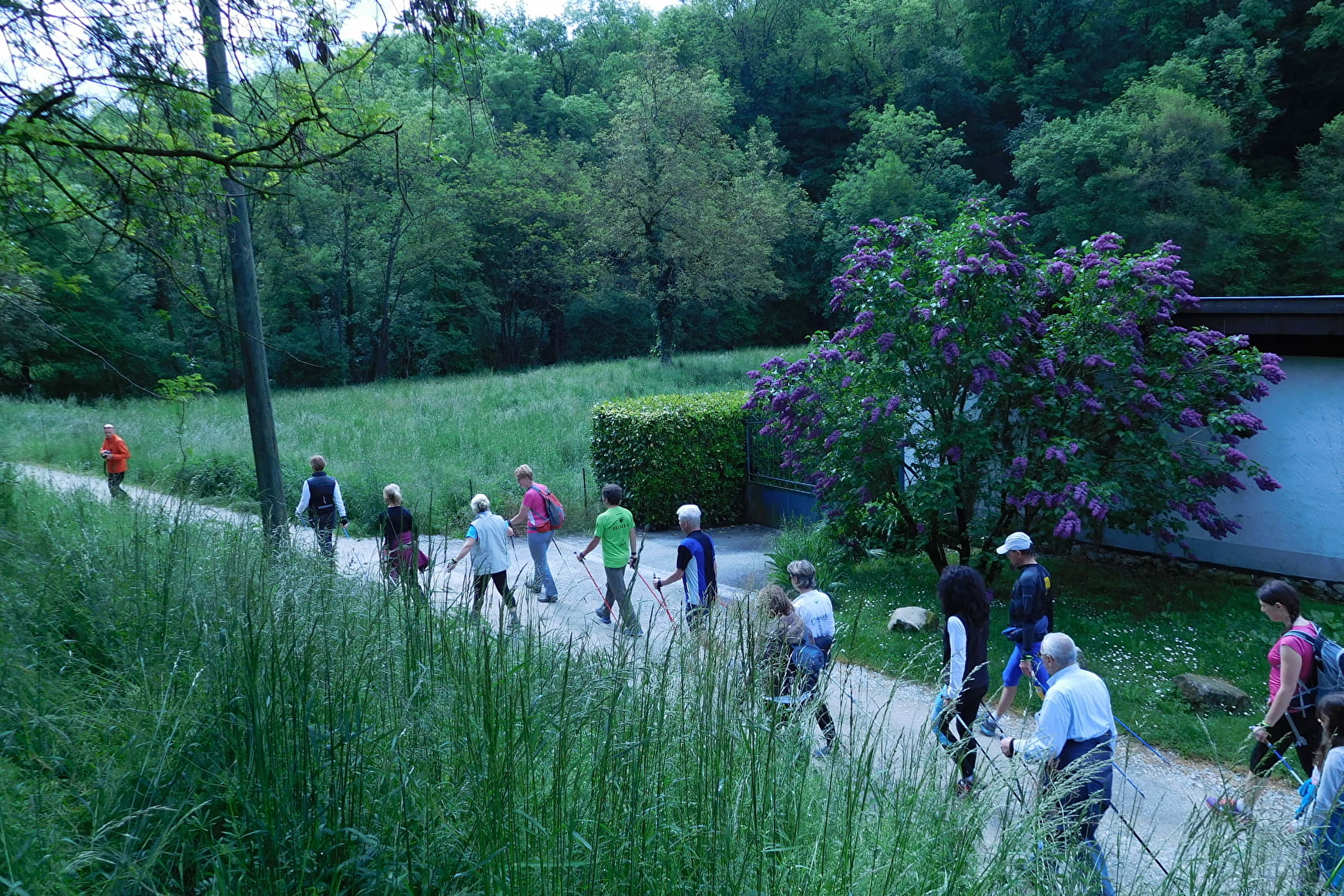
A loop allowing you to travel through forest and plateau in order to discover the haut-genevois, looking over Saint-Julien and the tip of Lake Geneva.
About
Prices
Free access.
Reception
Period of practice
All year round.
Services
- Pets welcome
- Parking
Contacts
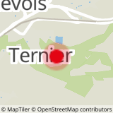
Access
At the end of Avenue de Ternier, at the start of the Ancien Chemin de Ternier.
