Panoramic view of the Mont-Blanc massif.
Duration:40 min to 2h30
Positive level: 290m
Departure height: 980m
Arrival height: 1270m
Accessible to pushchairs : no
Type of path : rocky path
Hiking level: easy, family walk
Marking: yes
A hiking map is for sale at the tourist office for 6€.
- Sport
Panoramic walk at the top of Combloux
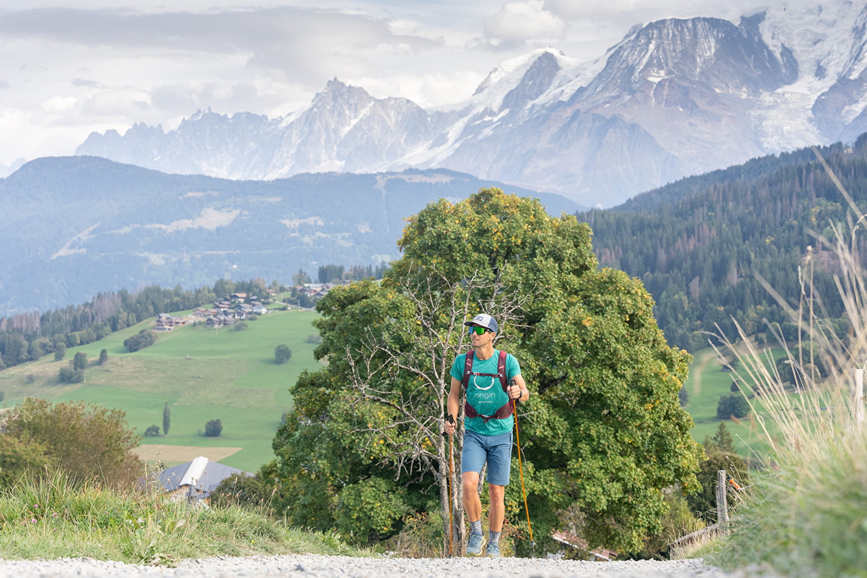
Hiking up to the Ormaret hamlet with numerous renewed farms, then keep going until Cuchet to appreciate an exceptional panorama with an amazing view of the Mont-Blanc Massif.
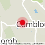
Sport Panoramic walk at the top of Combloux Combloux
About

Further informations
Stone, Ground
1/ 50m above the "Coin Savoyard" hotel, on "la Cry-Cuchet" road, take on your left to reach "le Barratti", then take the path with the little wooden brigdes to reach "Le Champet".
2/ Follow "les Poses" path straight on until Ormaret hamlet and its chapel.
3/ With your back to the chapel, turn left, go straight on for 50m then follow "Cuchet" direction.
4/ From "Cuchet" car park, take the walking path next to "le Chalet d'Emilie" restaurant, going down to "La Cry". Duration: 1h20.
5/ From "La Cry" 2 possibilities:
1- Take the free shuttle to the village centre (in high season only).
2- Cross "La Cry" car park then take the "Brons" road on your left until the bottom of Mowgli button-lift. Turn right to follow "La Balancerie" then "Centre village". Duration: 2h30.
Prices
Free of charge
Reception
Period of practice
All year round.
In winter: the snow is not cleared from the path.
Services
- Pets welcome
- Car park