

The scents of resin and forest humus waft around you. The ascent, sometimes steep, offers you the odd glimpse of squirrels hopping from branch to branch in the spruce trees. Look at the big mounds at the some of the tree trunks, they look like proper constructions. Red ants have set up home here, and they diligently go about their work. They show some serious skills in building these spectacular anthills! As you enter the mountain pasture, you're welcomed by the sound of the
herds, often present here. Treat yourself to a food stop at Lo Tsamou Refuge, which offers accommodation and meals to hordes of hikers. The descent, sometimes lined with fireweed, brings you back to the Saint-Paul Chapel. Take a moment to immerse yourself in the cultural atmosphere and prolong the serenity of this peaceful hike.
- Sport
The mountain pastures of Montbas
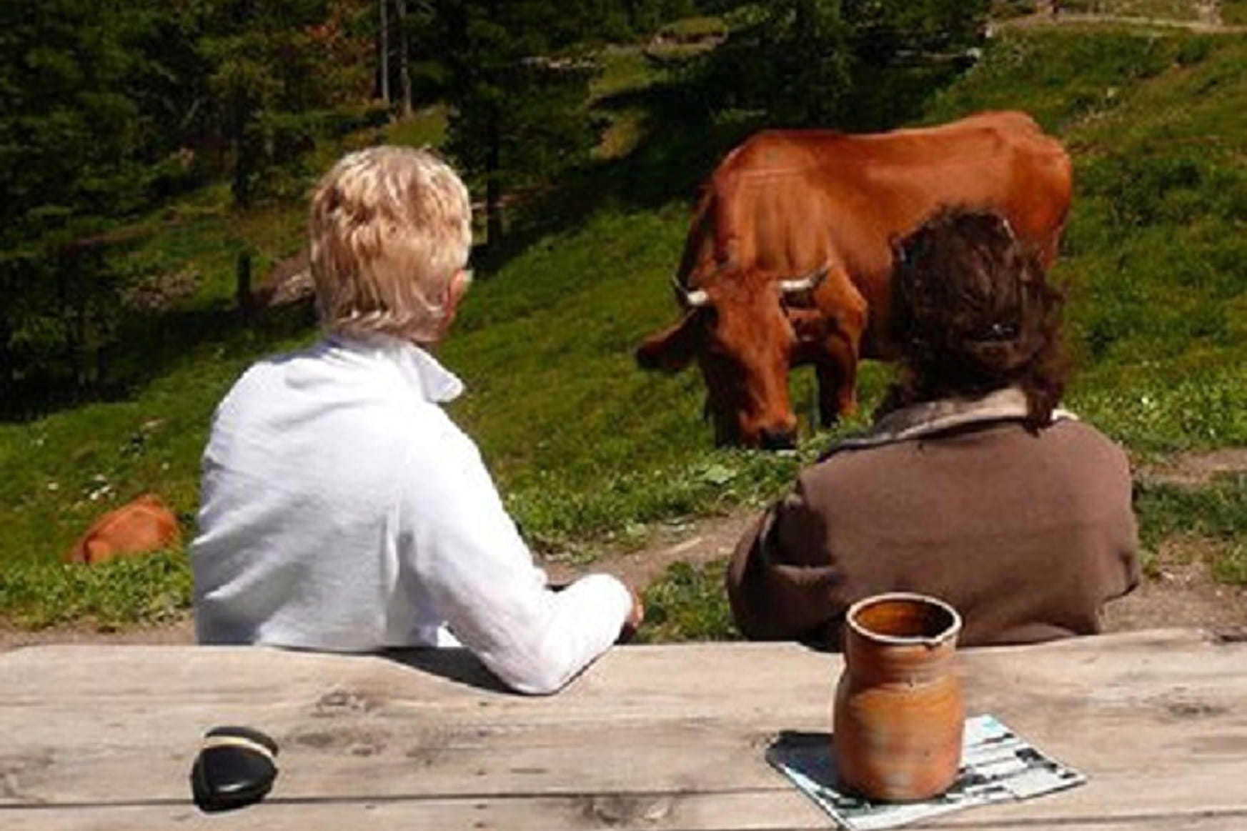
Enter the Montbas Forest for a journey through breathtaking landscapes, at an altitude of 2,000 metres. Step into the timeless world of a mountain pasture where the air is fresh and pure. An exhilarating sense of escape awaits you.
Sport The mountain pastures of Montbas Val-Cenis
About
Signs
Mixed signposting (PR and GR)
Map references
Map and booklet "Walks and Hikes Haute Maurienne Vanoise" (sold for € 10 at the Tourist Office)
Topoguides references
Orange route n°61
Further informations
Rock, Ground
To guide you in the field, consult the "step-by-step" directional diagram provided in pdf.
Prices
Free access.
Reception
Pets allowed on leash only.
Period of practice
From 15/06 to 15/10.
Subject to favorable snow and weather conditions.
Services
- Pets welcome
- Parking
Contacts
Access
I'm going by car: park in the Planay parking lot.