- Sport
Les Rochers de Leschaux - Hike
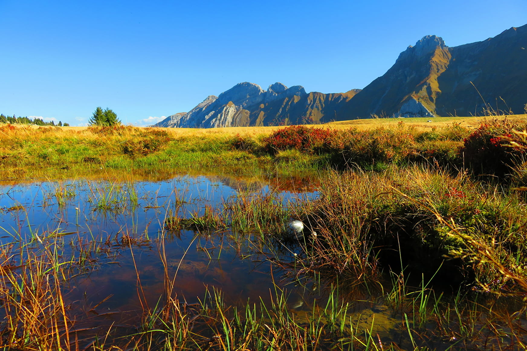
A hike starting from Mont-Saxonnex requiring good physical condition. The route is long but not difficult on the technical side. At the top, a nice panorama awaits you on the Jalouvre.

About

Further informations
Rock, Ground, Grit


From les Frachets to Col de Cenise: 25 min. Start on the path which goes along the farm of Frachets. You will have to cross the patures toward the Cross Felay. From there, follow the path. From Col de Cenise ti Rochers de Leschaux: 1h20 Keep going toward les Rochers de Leschaux. Cross the grass et go alog the rocks until you can read Les Rocherss de Leschaux. Then, the path is made of Lapiaz (specific rockes in the mountains.) The Cross if the final point of the hike. From Plateau de Solaison to Col de Cenise: 1h05 Once you reach the Plateau de Solaison, go toward Grotte de la Glacière. Be careful, the path may be sliperry. Once yu reach the Perthuis, walk toward the Col de Cenise. then, tak ethe direction of le Grand-Bornand until le Col de Cenise.
Prices
Free of charge. Guidebook on sale at the Tourist Office.
Reception
Period of practice
From 01/04 to 15/11.
- Car park
- Free car park


