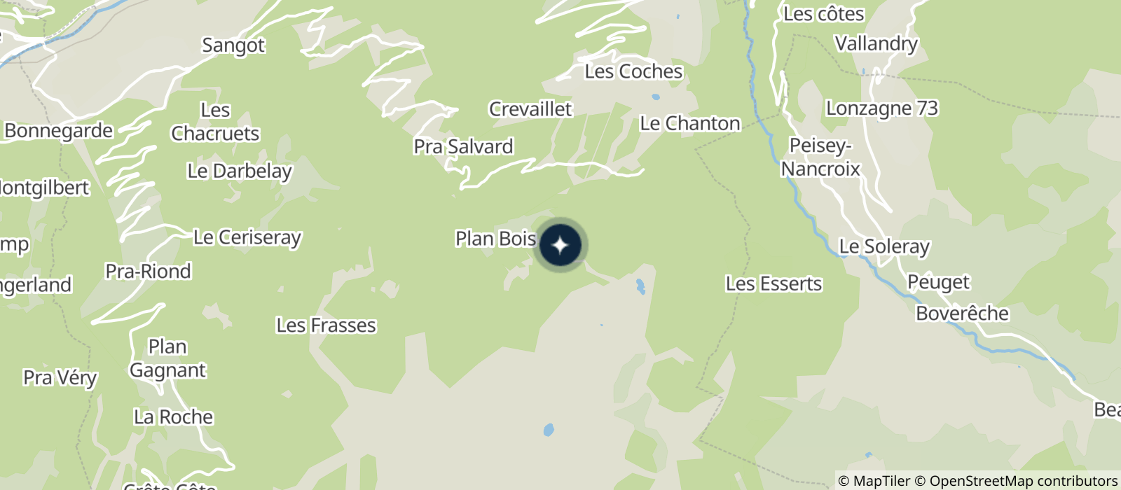
Using the key and the symbols on the map, find your position and the right direction to go in to find the markers in the order of your choice.
The starting point is shown by a triangle and each marker by a circle with its number. In the centre of each circle there is an element that characterizes the terrain (intersection, fence corner, tree, etc.) and shows where you will find the marker.
The code number on each marker will allow you to check your location. Punch your card in the corresponding box on the map, the drawing of the punch marks will give you the answer to the riddle!
Black course:
- Starts at the top of Lac Noir gondola
- 13 markers to find
- 5.5 km
- 150m elevation gain
- Sport
Leisure orienteering course "Sporty hike through Plan Bois forest"

Welcome to Montchavin-Les Coches's black orienteering course, 5.5km and 13 markers to find!
About
Prices
Free access.
Reception
Period of practice
From 29/06 to 31/08/2024.
Services
- Pets welcome
Contacts
Access


