What to see / What to know :
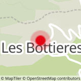
A route that can be completed from Jarrier: parking du Léard (with connecting route).
- Sport
Le sentier du Haut
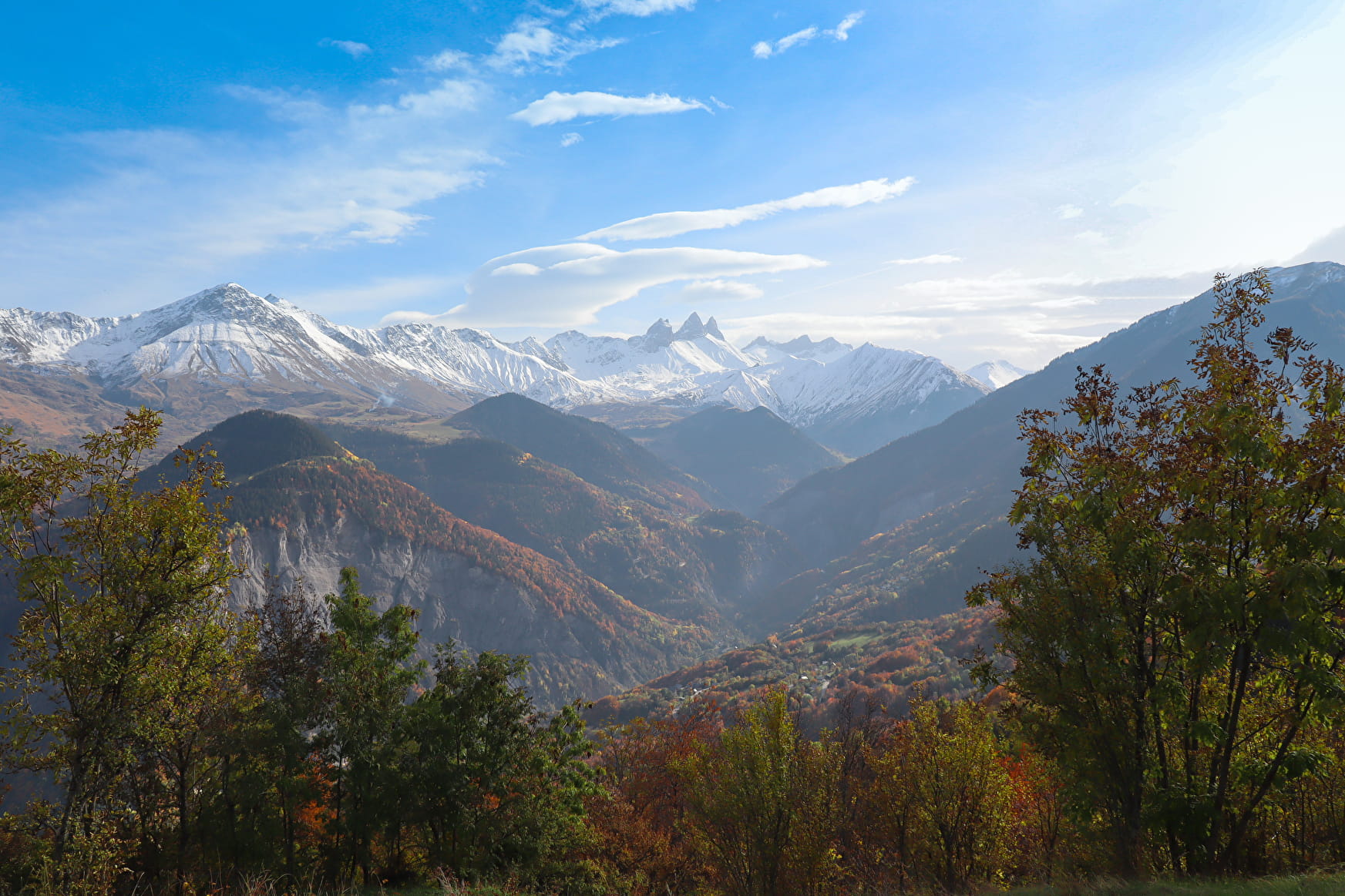
Explore the heights of Saint-Pancrace on this beautiful loop, with panoramic views of the Aiguilles d'Arves, the Maurienne valley and Saint-Jean-de-Maurienne.
Sport Le sentier du Haut Saint-Pancrace
About

1/ Park in the Route de la Chavonnerie parking lot
2/ Continue uphill, then turn right towards La Cochette
3/ Continue downhill towards Les Granges
4/ Descend towards Montfalcon, then complete the loop.
Prices
Free access.
Reception
Dogs must be kept on a leash if herds are present.
Period of practice
From 01/01 to 31/12.
Subject to favorable weather.
Services
- Pets welcome
- Car park
- Free car park
- Public WC