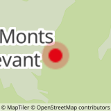
Start - Parking du petit reposoir
1/ Continue on foot along the tarmac road then, shortly after the barrier that closes off the route to vehicles, take a path that descends to the right to reach the hamlet of "Mont Devant".
2/ Head for the hamlet of "Mont-Derrière" along the GRP (red and yellow markings), then in the middle of the hamlet, follow the signs for "col de la frasse - promenade du Char".
3/ Further up the mountain pasture, the path forks to the right before the chalets. From here, it takes around half an hour to reach the crêt du Char. Take care when crossing the rocky ridge.
4/ From the Crêt du Char mountain pastures, there is a challenging return route to the cross on the Four Magnin rock (an aerial route over a rocky ridge, not recommended for those prone to vertigo).
5/ Back at the Crêt du Char mountain pasture, head for the Col de Bornette.
[From this point, you can return to the car park by following "le reposoir" on the GRP (red and yellow markings). Approximately 3km and 160m less ascent].
6/ Continue along the track to "Golet".
7/ From Le Golet, follow the tarmac road to "le Reposoir" and then the car park.
- Sport
Autour du crêt du Char
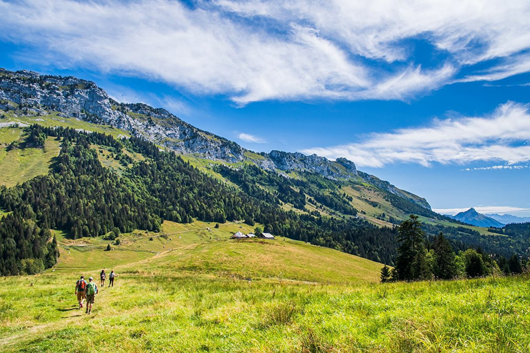
A walk through alpine pastures and forests offering magnificent viewpoints.
Sport Autour du crêt du Char Bellecombe-en-Bauges
About

1 7


Reception
Period of practice
From 01/05 to 31/10.
Subject to favorable weather.
Services
- Pets welcome


