• Sport

Le sentier archéologique du Thyl

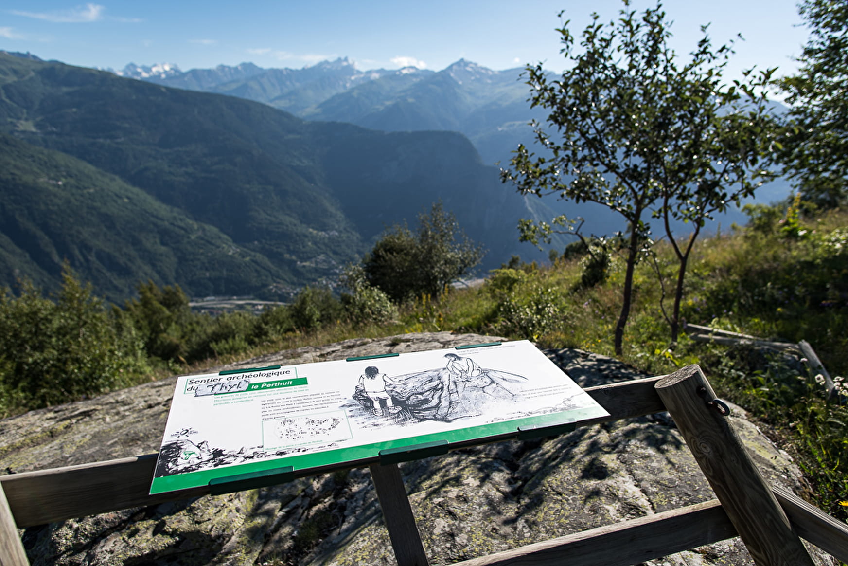
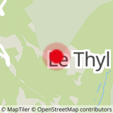
Sport Le sentier archéologique du Thyl Saint-Michel-de-Maurienne

About

Departing from Saint-Michel-de-Maurienne (73140)
Average length : 02h45
Total elevation gain : 470m
Vertical drop : 470m
Distance : 5.8km
Signed walking trail
Animals allowed

Loop
Total elevation gain : 470m
Altitude max : 1782m
Vertical drop : 470m

Further informations

Stone, Ground, Grit

Prices

Free of charge.

Reception

Animals allowed
Languages spoken : French
Not adapted to strollers

Period of practice

All year round.

Subject to favorable snow and weather conditions.

Services
  • Pets welcome
Equipments
  • Car park
  • Free car park

Access

73140 Saint-Michel-de-Maurienne
Departing from : Saint-Michel-de-Maurienne (73140)
Latitude : 45.224688 - Longitude : 6.488916
Information update on 19/04/2024 by Office du tourisme Intercommunal Maurienne Galibier