This hike intended for rather seasoned walkers, will take you along a beautiful ridge path joining several peaks of the Aravis: the Tête des Annes (1869 m) first, then the Pointe des Delevrets (1966 m) and the Col de l'Oulettaz under the Pointe de Rouelletaz (2077 m).
Between Grand-Bornand and Le Reposoir, the route offers superb views of the two valleys that stretch before your eyes.
The loop then continues in a mineral universe, between lapiaz and pierriers, the rocks form natural steps and will allow you to continue your ascent. Arrived at the crossroads of Mont Pelés, you are not far from the goal of the day.
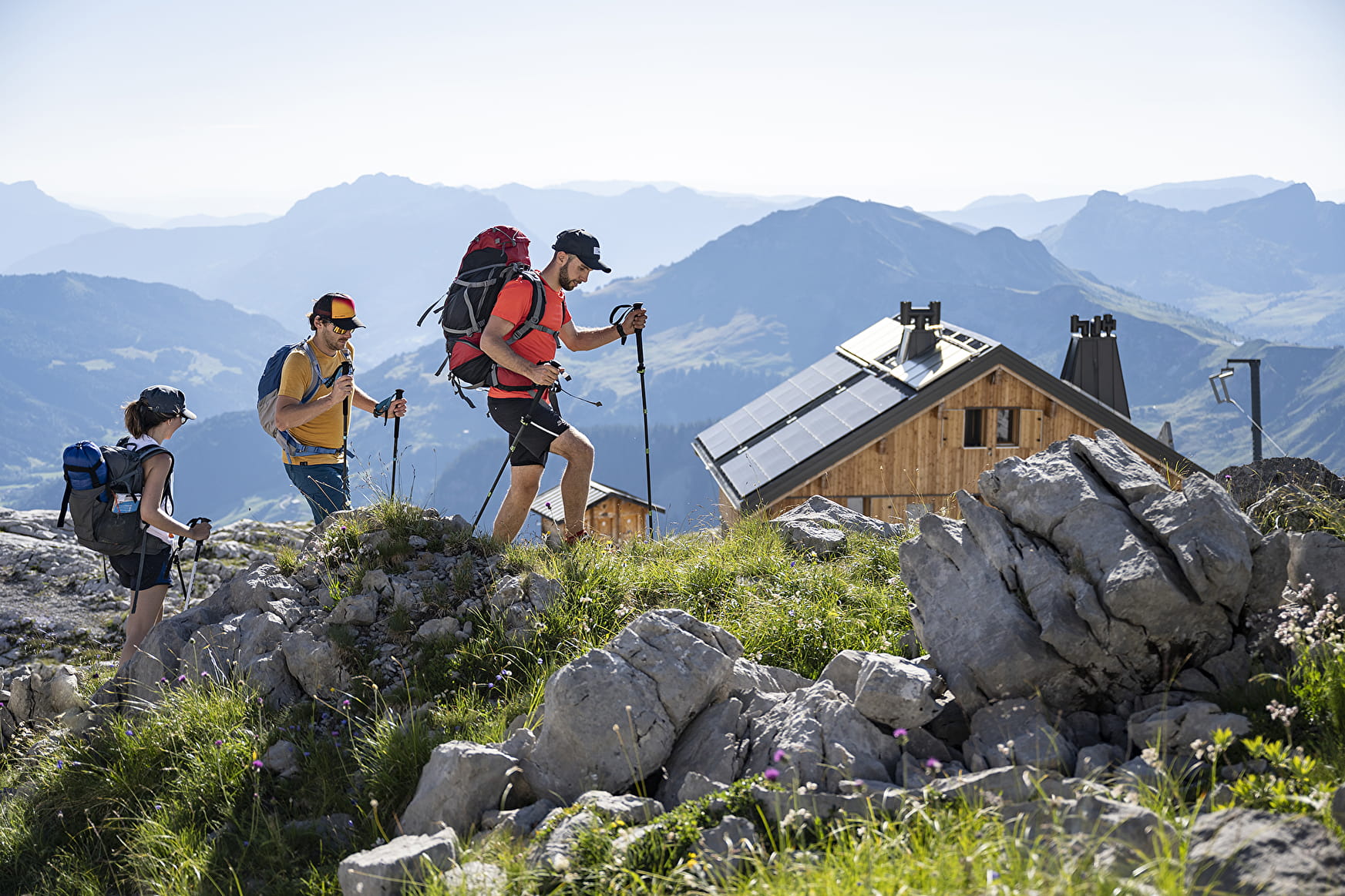
Indeed, along this path, you will reach the Refuge de la Pointe Percée. Housed on a large stretch of lapiaz, it is the highlight of the hike and marks the border towards mountaineering since it is at the start of several access roads to the top of the Pointe Percée.
A real promontory, the view of the Mont Blanc, Bargy and Aravis mountains is breathtaking and will reward your efforts.
- Sport
Le refuge de la Pointe-Percée by la Tête des Annes
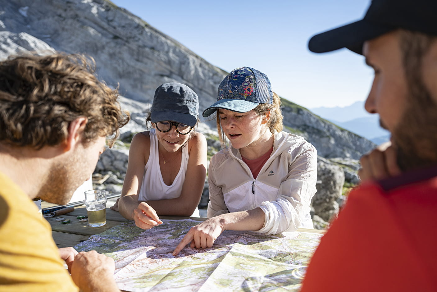
Magnificent hike leading to the Refuge de la Pointe de Percée. Starting from the Col des Annes, this panoramic itinerary takes you to the foot of the highest peak of the Aravis Mountains, passing through the Col de l'Oulettaz.
About

Map references
Map IGN Top 25 n°3430 ET La Clusaz Grand-Bornand. Map on sale at the Tourist Office. Download the application Virée en Aravis.


1/ From the directional post "Col des Annes", take the direction "Refuge de la Pointe Percée GRP". Always follow this direction, you will pass through the places called "Tête des Annes", "Col de l'Oulettaz" and "Les Mont Pelés"
2/ Arriving at the "Refuge de la Pointe Percée", the return route is the same as on the way out, following the direction of the "Col des Annes" to reach your starting point.
Prices
Free access.
Reception
Information available at the Tourism Office or refer to the maps and/or guidebooks to locate the various hikes.
Period of practice
From spring to fall, depending on snow conditions; you are responsible for your own safety. Look online or call for information on conditions.
- Pets welcome
- Restaurant