You can take Legette chairlift for an easy way up to col de la Lézette.
- Sport
Le Mont Vorès
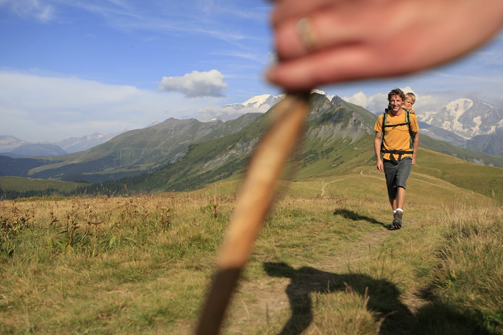
Day hiking in the alpine meadows with views of the various massifs around: Mont Blanc, Beaufortain, Aravis ...
Sport Le Mont Vorès Les Saisies
About

Map references
IGN map of hiking in Beaufortain on sale at the Tourist Office
Topoguides references
"Balades en Beaufortain" on sale at the Tourist Office
Reception
Period of practice
From 06/01 to 09/30 : open daily.
Services
- Pets welcome
- Accessible via ski lift